BeNeLux
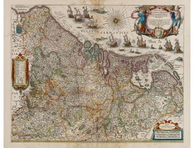
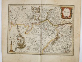
Location: 1635
Date: Amsterdam, 1635
Format: 402 x 503mm.
Color: Beau col. ancien.
Condition: Paper slightly age-toned. Some water staining in upper and lower part. French text on verso.
Willem Blaeu published this map in 1608 as a wall map with figured borders. When later, in 1630 he needed a general map of th..
800€
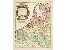
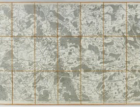
Location: 1687
Date: Paris 1687
Format: 540 x 418mm.
Color: Limites en col. ancien.
Condition: In good condition. Paper contemporarily cut till plate mark and laid down on a larger sheet of paper. Good and dark impression.
From his first edition of his only folio atlas, the map is relied upon the map of his uncle, Nicolas Sanson. Engraved by I.So..
750€
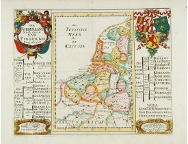
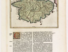
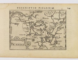
Location: 1720
Date: Augsbourg, 1720
Format: 153 x 195mm.
Color: Col.
Condition: Bon exemplaire.
Showing the Low Countries, including present day The Netherlands, Belgium and Luxembourg...
230€
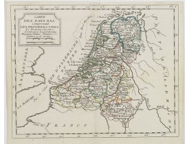
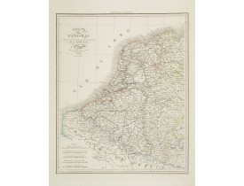
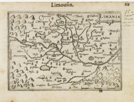
Location: 1806
Date: Paris, Prudhomme, Levrault, Debray, 1806
Format: 175 x 222mm.
Color: Limites en col. ancien.
Condition: In very good condition.
Map of the Netherlands, Belgium and Luxembourg from Atlas moderne portatif composé de vingt-huit cartes sur toutes les partie..
100€
Location: 1828
Date: Paris, A.H. Basset, 1828
Format: 420 x 345mm.
Color: Limites en col. ancien.
Condition: Steel engraving, in very good condition.
Detailed map of the Netherlands, Belgium and Luxembourg, prepared by A. H. Basset, rue Saint-Jacques, no. 64, Paris and publi..
80€
Affichage 1 à 5 de 5 (1 Pages)


