DU VAL, P.
 cliquez sur l'image pour l'agrandir
Location: 1667
Date: Paris, 1667
Format: 525 x 395mm.
Color: Limites en col. ancien.
Condition: In good condition. Good and dark impression. Some light marginal foxing, slightly affecting upper right hand part of the map.
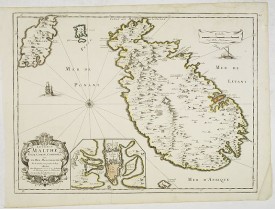
Rare map of the islands of Malta, Gozo, Comino and Cominotto with fine title cartouche lower left. Inset plan of Valetta (110..
1 500€
Location: 1667
Date: Paris, 1667
Format: 405 x 515mm.
Color: Limites en col. ancien.
Condition: Very light water stain in upper part of the map with very light foxing of paper. Good and dark impression.
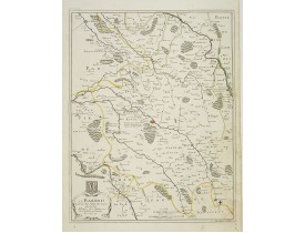
Detailed map centered on Bar-le-Duc in the province Le Barrois. Fine title cartouche with coat of arms lower left.Engraved by..
200€
Location: 1668
Date: Paris, 1668
Format: 380 x 522mm.
Color: Limites en col. ancien.
Condition: Very light water stain in lower right hand part of the map with very light foxing of paper. Good and dark impression.
Detailed map of Franche- Comté with fine title cartouche lower right. Centered on Besançon...
300€
Location: 1672
Date: Paris, 1672
Format: 100 x 120mm.
Color: Noir et blanc.
Condition: Very good and dark impression.
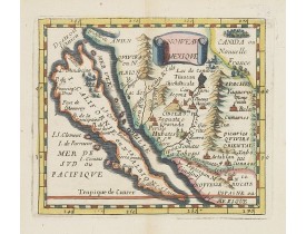
Uncommon miniature map of California as a island, from Pierre Duval's La Geographie Universeille dated 1676. The map is deriv..
800€
Location: 1672
Date: Paris, P. Duval, ca. 1667-1672
Format: 142 x 90mm.
Color: Noir et blanc.
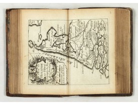
Condition: Contemp. brown calf with gilt raised spine. 4 parts in 1 vol. Paris: P. Duval around 1667-72. 13.5 x 8.3 cm. With an additional 5 double-page engraved titles, 43 maps, and 28 double engraved text sheets. Partly slight marginal tears, minor signs of wear and a little age-spotted in the 4th volume are missing the panels of the province of Artois and Franche comté.
Compilation of Duval's Pocket Atlas, with an archbishoprics and dioceses description of the world, here right at the beginnin..
3 000€
Location: 1675
Date: Paris, 1675
Format: 381 x 486mm.
Color: Limites en col. ancien.
Condition: Very light water stain in upper part of the map with very light foxing of paper.
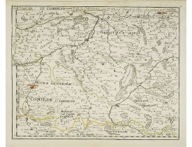
Uncommon edition of this map of the region of Artois and Chambray with the title along the top.Dated 1675 with the address "p..
200€
Location: 1676
Date: Paris, 1676
Format: 360 x 460mm.
Color: Limites en col. ancien.
Condition: Good and dark impression.
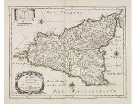
Uncommon map of Sicily with fine title cartouche lower left . Original date of 1675 now altered to 1676...
500€
Location: 1676
Date: Paris, c. 1650 - 1676
Format: 535 x 340mm.
Color: Limites en col. ancien.
Condition: Large water stain in upper part of the map. Small wormhole in upper right corner filled in. Light foxing of paper.
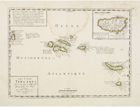
Uncommon map of the Azores. Engraved by Sommer. Du Val is mentioned as the cartographer and the publisher was Pierre Mariette..
300€
Location: 1677
Date: Paris, s.d., ca. 1677
Format: 261 x 338mm.
Color: Limites en col. d'époque.
Condition: Trace de pliure médiane. Grandes marges.- In good condition. Good and dark impression. Wide margins.
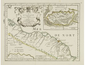
Carte figurant la Guyane et Cayenne ornée en haut à droite d'un carton représentant l'"Isle Cayene", gravée par Lapointe. Pub..
300€
Location: 1686
Date: Paris, 1686
Format: 385 x 530mm.
Color: Beau col.
Condition: Coupé au cuivre et collé anciennement sur papier fort.
With the date change to1686, probably published in the last and posthume edition of 1688. Prepared by N.Sanson. Depicting the..
1 000€
Location: 1686
Date: Paris, 1686
Format: 100 x 123mm.
Color: Noir et blanc.
Condition: Map cut on neat line and contemporarily pasted on a larger sheet of paper. Slight marginal browning. Very good and dark impression.
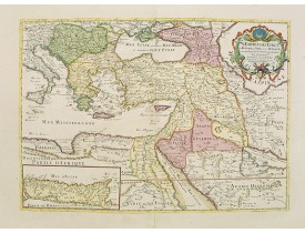
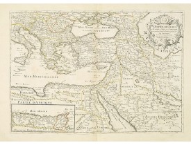
A nice map showing the Turkish Empire, including an inset map of kingdom of Alger. Extending from Italy and the Eastern Medit..
500€
Affichage 1 à 11 de 11 (1 Pages)

