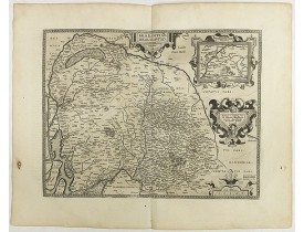
ORTELIUS, A.
 cliquez sur l'image pour l'agrandir
Location: 1580
Date: Anvers, 1580
Format: 326 x 482mm.
Color: Col.
Condition: Some light water stain marks from upper margin into half of engraved area. Paper slightly aged. Good and dark impression. Else good condition.
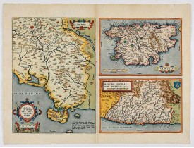
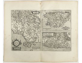
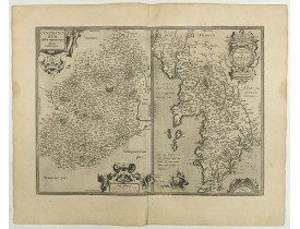
Three inset maps : on the left the Tuscan region in Italy with Sienna upper left, the island of Corsica upper right, and low..
400€
Location: 1584
Date: Anvers, ca 1584
Format: 345 x 495mm.
Color: Beau col. d'époque.
Condition: Brown spot in the lower part. Rare, blank on the verso. In fine condition.
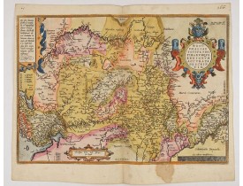
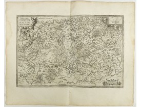
A very beautiful hand colored copper engraved map of North Rhein-Westphalia by A. Ortelius. This is a general map of Westphal..
150€
Location: 1587
Date: Anvers, 1587
Format: 335 x 480mm.
Color: Beau col. ancien.
Condition: Papier légèrement jauni.
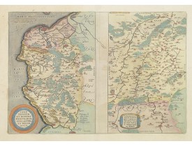
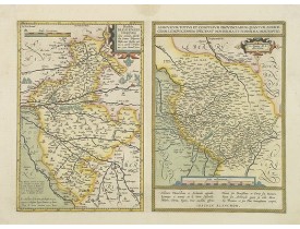
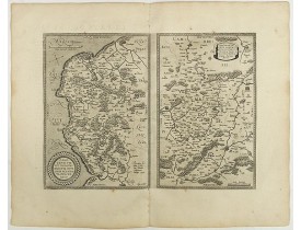
Deux cartes sur une planche. Texte français au verso. La carte du Calaisis est fondée sur la carte en 4 feuilles par Nicolas ..
250€
Location: 1587
Date: Anvers, 1587
Format: 365 x 491mm.
Color: Beau col. d'époque.
Condition: Quelques taches brunes dans les marges.
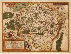
From a rare Spanish text edition. Prepared by Jacob Surhon who made a manuscript map of Luxembourg for which he received 500 ..
600€
Location: 1590
Date: Anvers, 1590
Format: 325 x 510mm.
Color: Noir et blanc.
Condition: Belle impression, grandes marges. Papier légèrement bruni. Texte français au verso.
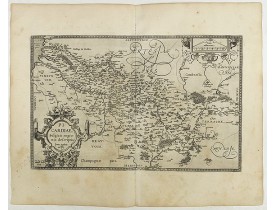
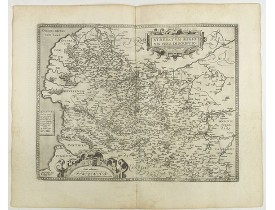
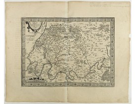
Carte de la Picardie réalisée par Jean Surhon et publiée dans l'atlas d'Ortelius "Theatrum Orbis Terrarum"...
200€
Location: 1590
Date: Anvers, c. 1590
Format: 334 x 470mm.
Color: Col. ancien.
Condition: Papier un peu jauni, infimes rousseurs.
2 maps on one sheet. Text is in french...
150€
Location: 1590
Date: Antwerp, c. 1590
Format: 382 x 500mm.
Color: Beau col. ancien.
Condition: Paper very slightly age-toned. Dark impression, printed on heavy paper. Some light offsetting due to oxidation of ink and colours. With French text on verso.
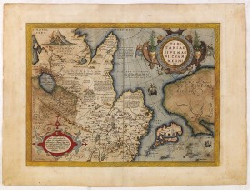
This is a very early depiction of the northern Pacific, with the first mapping of the Northwest Coast of America and probably..
1 500€
Location: 1590
Date: Anvers, 1590
Format: 367 x 505mm.
Color: Col.
Condition: Belle impression.
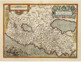
This is the most "modern" of Ortelius' maps of the Holy Land. It focuses specifically on the Holy Land and is oriented with e..
1 600€
Location: 1595
Date: Anvers, 1595
Format: 359 x 512mm.
Color: Col.
Condition: Left and right hand margin contemp. added margins, for protective reason.
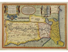
A splendid map of ancient Egypt, which appeared in Ortelius' Parergon. The map is based on his separately published map of Eg..
800€
Location: 1598
Date: Anvers, 1598
Format: 375 x 490mm.
Color: Noir et blanc.
Condition: Belle impression, grandes marges.
Carte décorative d'Artois ornée de 2 cartouches. Texte français au verso. D'après la carte manuscrite de l'Artois par Jacob S..
200€
Location: 1598
Date: Anvers, 1598
Format: 360 x 470 mm.
Color: Beau col.
Condition: Some very light marginal discolouration.
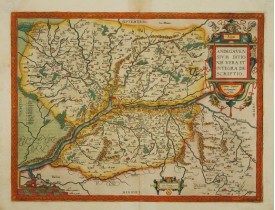
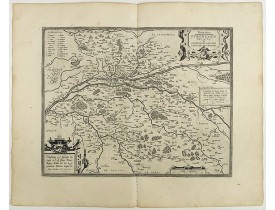
Beautiful map of the Anjou region of western France along the Loire River. Include the city of Angers in the center. Accompan..
300€
Location: 1598
Date: Antwerp, 1598
Format: 360 x 460mm.
Color: Beau col. d'époque.
Condition: Blank on the verso. Strong and dark impression. In fine condition.
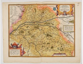
Map of Touraine duché in very fine original colours...
300€
Location: 1598
Date: Antwerp, 1598
Format: 368 x 473 mm.
Color: Noir et blanc.
Condition: French text on the verso. Wide margins and a strong and dark impression. In fine condition.
In an inset Mechelen and surroundings. Decorative scale and title cartouche with dedicational initials which may refer to Lau..
500€
Location: 1598
Date: Anvers, 1598
Format: 330 x 490 mm.
Color: Noir et blanc.
Condition: Wide margins and dark impression. In good condition. French text on the verso.
Trois cartes sur une planche. Publié dans le "Theatrum Orbis Terrarum"(Atlas du monde) édité à Anvers, pl. 74 de l'édition f..
450€
Location: 1598
Date: Anvers, 1598
Format: 340 x 505 mm.
Color: Noir et blanc.
Condition: French text on the verso. Wide margins and a strong and dark impression. In fine condition.
Carte figurant la Lorraine ornée de trois cartouches décoratifs. Publié dans le "Theatrum Orbis Terrarum"(Atlas du monde) édi..
350€
Location: 1598
Date: Antwerp, 1598
Format: 340 x 455 mm.
Color: Noir et blanc.
Condition: French text on the verso. Wide margins and a strong and dark impression. In fine condition.
Carte figurant l'Île-de-France entourée d'une bordure décorative, d'un cartouche de titre et d'un cartouche d'échelle. Publié..
500€
Location: 1598
Date: Anvers, 1598
Format: 360 x 460 mm.
Color: Noir et blanc.
Condition: French text on the verso. Wide margins and a strong and dark impression. In fine condition.
Carte figurant la Touraine. Publié dans le "Theatrum Orbis Terrarum"(Atlas du monde) édité à Anvers...
300€
Location: 1598
Date: Anvers, 1598
Format: 375 x 505 mm.
Color: Noir et blanc.
Condition: French text on the verso. Wide margins and a strong and dark impression. In fine condition.
Deux cartes sur une planche figurant, à gauche la région du Mans (Civitas Cenomanorum), à droite la Bretagne et la Normandie...
400€
Location: 1598
Date: Anvers, 1598
Format: 342 x 468 mm.
Color: Noir et blanc.
Condition: French text on verso. Two maps on one sheet. Wide margins and dark impression. In good condition.
Deux cartes sur une planche figurant, l'une le Calaisis et le Boulonnais, l'autre le Vermandois. Dressé par Jean Surhon, cart..
200€
Location: 1598
Date: Antwerp, 1598
Format: 357 x 498 mm.
Color: Noir et blanc.
Condition: French text on the verso. Wide margins and a strong and dark impression. In fine condition.
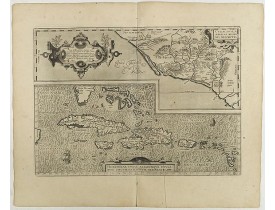
Two separate virtually identically sized inset maps on one sheet, each with a decorative scroll title cartouche. Culiacanae ..
900€
Location: 1598
Date: Antwerp, 1598
Format: 330 x 485mm.
Color: Noir et blanc.
Condition: Wide margins and dark impression. In fine condition. French text on the verso.
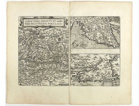
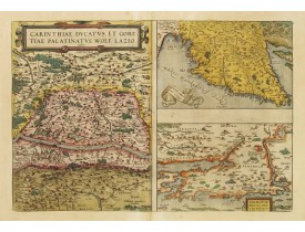
Three maps on one sheet. The left hand is centered on the eastern part of Austria. The right upper hand map is centered on no..
250€
Location: 1598
Date: Antwerp, 1598
Format: 355 x 482 mm.
Color: Noir et blanc.
Condition: French text on the verso. Wide margins and a strong and dark impression. In fine condition.
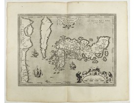
Korea is shown as an elongated island whilst Japan is shown with just the three principal islands of the archipelago...
2 200€
Location: 1598
Date: Antwerp, 1598
Format: 352 x 501 mm.
Color: Noir et blanc.
Condition: Wide margins and dark impression. In good condition. French text on the verso.
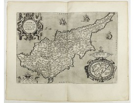
This is a beautiful copy of a classic map of Cyprus. It is the earliest obtainable version of the best map of Cyprus made to ..
1 250€
Location: 1598
Date: Antwerp, 1598
Format: 360 x 500 mm.
Color: Noir et blanc.
Condition: Wide margins and dark impression. In good condition. French text on the verso.
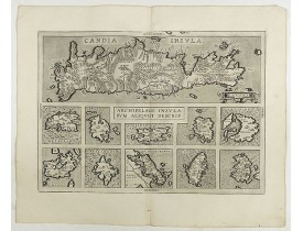
Very decorative map showing map of Crete and 10 insets of Greek islands: Candia, Metellino, Santorini, Milo, Rodus, Scio, etc..
350€
Location: 1598
Date: Anvers, 1598
Format: 330 x 485mm.
Color: Beau col. ancien.
Condition: Wide margins. A good and dark impression. Some very minor discolouration along the margins.
Three maps on one sheet. The left hand is centered on the eastern part of Austria. The right upper hand map is centered on no..
600€

