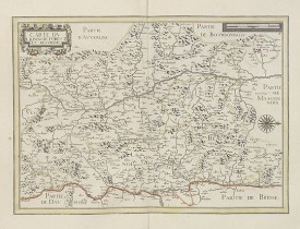
TASSIN, N. - Carte du Lionnois Forest et Beavielois.
 cliquez sur l'image pour l'agrandir
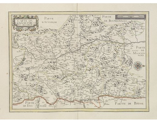
TASSIN, N. - Carte du Lionnois Forest et Beavielois.
Date: Paris, 1634
Format: 370 x 510mm.
Color: Limites en col. ancien.
Condition: Paper contemporarily cut till plate mark and laid down on a larger sheet of paper. Good and dark impression. Excellent condition.
Description
Very detailed map centered on Lyon and its northern surrounding area. Beautiful wind rose, showing west to the top.
Nicolas Tassin, who was active from 1633 till 1655, was appointed Royal cartographer at Dijon before setting up as an engraver in Paris where he issued various collections of small maps and plans of France, Switzerland, Germany and Spain.
With a plate number 6 in upper right corner.
Nicolas Tassin, who was active from 1633 till 1655, was appointed Royal cartographer at Dijon before setting up as an engraver in Paris where he issued various collections of small maps and plans of France, Switzerland, Germany and Spain.
With a plate number 6 in upper right corner.
200€
- Voir les autre produits par: TASSIN, N.
- N° Reference: 27499

