
BLAEU, J.
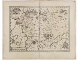
Location: 1634
Date: Amsterdam, 1634
Format: 382 x 500 mm.
Color: Noir et blanc.
Condition: A good and dark impression. Slightly discoloured along the centerfold. German text to verso.
FIRST EDITION, FIRST ISSUE OF THIS MAP. From the 1634 edition of Blaeu's Atlas Novus, the first edition of this work.A detail..
150€
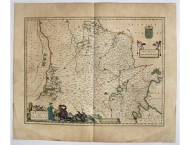
Location: 1634
Date: Amsterdam , ca. 1634
Format: 387 x 503mm.
Color: Col. ancien.
Condition: Fine. With wide margins. Paper slightly browned, as usual.
In the left-hand lower part of the image a beautiful contemporary cartouche with goddess Ceres [agricultural] holding a reapi..
75€
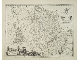
Location: 1635
Date: Amsterdam , ca. 1635
Format: 503 x 385mm.
Color: Noir et blanc.
Condition: Grandes marges. Papier légèremen jauni.
Carte de la Beauce figurant les villes de blois, Orléans, Chartres, Etampes... Orientée vers l'Ouest. Ornée, en bas à gauche,..
100€
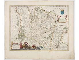
Location: 1644
Date: Amsterdam , 1644
Format: 385 x 504mm.
Color: Beau col. d'époque.
Condition: Fine. With wide margins. Paper slightly browned, as usual.
In the left-hand lower part of the image a beautiful contemporary cartouche with goddess Ceres [agricultural] holding a reapi..
200€
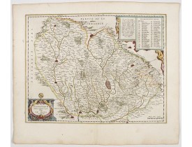
Location: 1644
Date: Amsterdam, 1644
Format: 385 x 500mm.
Color: Beau col. d'époque.
Condition: A good and dark impression.
Detailed map of the surrounding region of Le Mans. Depicting the Cathedral and some churchs of the city, etc. Showing also Sa..
200€
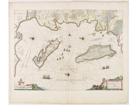
Location: 1644
Date: Amsterdam, 1644
Format: 391 x 536mm.
Color: Beau col. d'époque.
Condition: Some light creasing along center fold. Very good and dark impression. French text on verso.
Map of Ré and Oléron islands. Depicting the west coast of France, showing La Rochelle. Several vessels and sailing ships dot ..
750€
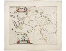
Location: 1644
Date: Amsterdam, 1644
Format: 390 x 500mm.
Color: Beau col. d'époque.
Condition: Very good to mint condition.
This map features a portion of western coastal France, north of Bordeaux with Ile de Ré and Ile Oléron. Two large cartouches..
400€
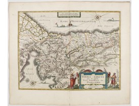
Location: 1644
Date: Amsterdam, 1644
Format: 381 x 498mm.
Color: In attractive strong original colours.
Condition: A good and dark impression. In excellent condition. French text on verso.
The Holy Land, Promised Land or Palestine. Oriented to the west. Shows the entire Palestine on both sides of the Jordan, the ..
900€
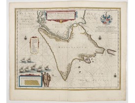
Location: 1644
Date: Amsterdam, 1644
Format: 412 x 535mm.
Color: Beau col. d'époque.
Condition: Good margins. In very good condition. French text on verso.
A map with Willem Blaeu's signature, but published by his son Joan, of South America's extremity. A dedication to Constantijn..
1 000€
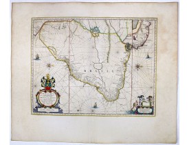
Location: 1647
Date: Amsterdam, 1647
Format: 385 x 493mm.
Color: Col. ancien.
Condition: Slight marginal discolouration but in seneral very fine. Wide margins. Latin text on verso.
Striking old colour example of Blaeu's second map of Brazil prepared by Krystof Arciszewski, a Polish general who worked for ..
700€
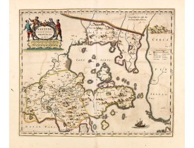
Location: 1660
Date: Amsterdam, ca 1660
Format: 396 x 480mm.
Color: In very attractive original colours.
Condition: Very good condition. Paper very slightly age-toned and some light offsetting due to oxidation of ink.
A map of the northern province ‘Xantung’ of China after the Jesuit Martino Martini.Shows the Great Wall and is centered on th..
1 400€
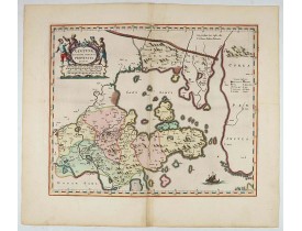
Location: 1660
Date: Amsterdam, ca 1660
Format: 396 x 480 mm.
Color: In very attractive original colours.
Condition: Very good to mint condition. Very hard to get in this type of rich contemporary colouring and cartouches with a few <b>gold highlights</b>.
A map of the northern province ‘Xantung’ of China after the Jesuit Martino Martini.Shows the Great Wall and is centered on th..
2 000€
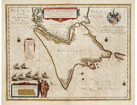
Location: 1660
Date: Amsterdam, 1660
Format: 412 x 535mm.
Color: Beau col. ancien.
Condition: En très bon état.
A map with Willem Blaeu's signature, but published by his son Joan, of South America's extremity with the Strait of Magellan ..
800€
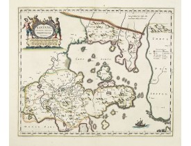
Location: 1660
Date: Amsterdam, ca 1660
Format: 396 x 480mm.
Color: Col. ancien.
Condition: Very good condition. Good and dark impression.
A map of the northern province ‘Xantung’ of China after the Jesuit Martino Martini.Shows the Great Wall and is centered on th..
1 200€
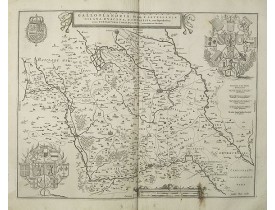
Location: 1660
Date: Amsterdam, 1660
Format: 415 x 520mm.
Color: Noir et blanc.
Condition: Pâles mouillures. Petites taches brunes en bas de carte. Pli d'impression le long du pli central.
Carte de la Flandre française. Sans texte au verso. Très belle carte gravée par le plus célèbre des éditeur de cartes hollan..
80€
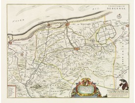
Location: 1661
Date: Amsterdam, 1661
Format: 376 x 488mm.
Color: Col. ancien.
Condition: En parfait état, avec de grandes marges.
With a dedication by Jacobus de la Fontaine to the nobles and the magistrates of Bergen. Very detailed map including the town..
530€
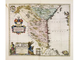
Location: 1662
Date: Amsterdam, 1662
Format: 410 x 478mm.
Color: Beau col. ancien.
Condition: Very good to mint condition. Wide margins. Two marginal brown spots. From a Dutch text edition.
Uncommon map prepared by Anders Bure (1571-1646) with a dedicational cartouche to Gabriel Bengtsson Oxenstierna.The Atlas Mai..
400€
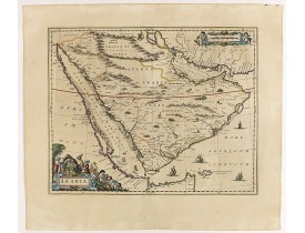
Location: 1662
Date: Amsterdam, 1662
Format: 410 x 522mm.
Color: Beau col. ancien.
Condition: Good and dark impression. Latin text on verso. Repair of split upper margin (not affecting engraved area) and 5cm split in center of centerfold but no paper missing. Paper very slightly age toned. Generally very good.
A handsome map of the Arabian Peninsula drawn on a large scale on which the three classical divisions are shown with some urb..
3 000€
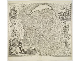
Location: 1682
Date: Amsterdam, 1682
Format: 505 x 595mm.
Color: Noir et blanc.
Condition: Bel exemplaire en parfait état.
Carte exceptionnellement décorative d'après Th. Borgonio, gravée par J. de Broen. Elle est ornée sur les côtés d'amours suppo..
1 000€
Affichage 1 à 19 de 19 (1 Pages)