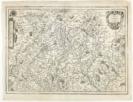
TASSIN, N. - Carte generale de Champagne.
 cliquez sur l'image pour l'agrandir
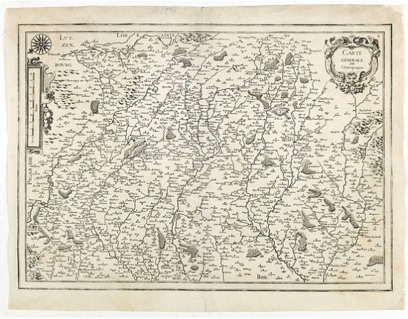
TASSIN, N. - Carte generale de Champagne.
Date: Paris, 1634
Format: 365 x 518mm.
Color: Noir et blanc.
Condition: Repair of a small marginal split in lower part center fold. In good condition.
Description
Rare and detailed map of Champagne region, including part of Luxemburgfrom the first edition of Nicolas Tassin's rare folio size atlas of France.
Nicolas Tassin (fl. 1633-55) was appointed "royal cartographer" at Dijon before setting up as an engraver in Paris.
Nicolas Tassin (fl. 1633-55) was appointed "royal cartographer" at Dijon before setting up as an engraver in Paris.
200€
- Voir les autre produits par: TASSIN, N.
- N° Reference: 34685

