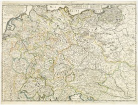
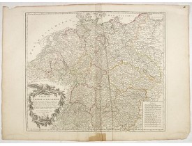
Allemagne générale
Location: 1657
Date: Paris, 1642/45-1657
Format: 405 x 557mm.
Color: Limites en col. ancien.
Condition: Good and dark impression. Left and right margin cut till scale border, as issued. Paper slightly age-toned but generally good.
Fine map Central Europe including Germany, Poland, Low countries, Switzerland and Austria. The map was first published by Ta..
300€
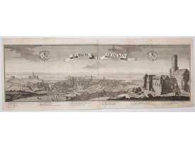
Location: 1729
Date: Augsburg, 1729
Format: 345 x 1008mm.
Color: Noir et blanc.
Condition: Printed on two joined sheets. Paper slightly age toned.
This is a spectacular panoramic view of Bamberg, with legends numbered from 1 to 24 in German. The title is in a banderol.Aft..
1 200€
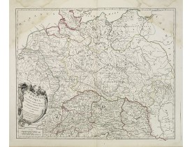
Location: 1756
Date: Paris, 1756
Format: 473 x 583mm.
Color: Limites en col. d'époque.
Condition: Larges mouillures dans les angles supérieurs.
Carte de la Germanie. - A fine map of ancient Germany, Poland and the Netherlands...
30€
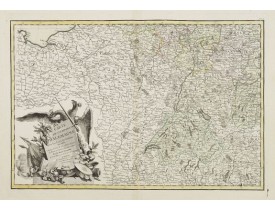
Location: 1783
Date: Paris ca 1783
Format: 303 x 452mm.
Color: In attractive original body colours.
Condition: Minor marginal spots. Minor discolouration along centerfold. Printed on heavy paper, with good margins. Good impression.
Attractive map centred on the south western part of Germany, including Switzerland, Luxembourg and part of Austria.Decorative..
75€
Location: 1792
Date: Paris, 1792
Format: 480 x 550mm.
Color: Limites en col. d'époque.
Condition: Nombreuses pliures en partie centrale, restauration en marge inférieure.
Carte de l'Empire d'Allemagne... Divisée en IX cercles... Cartouche de titre surmonté d'un aigle...
50€
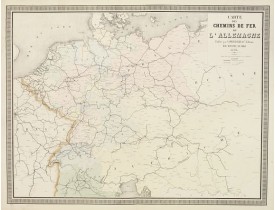
Location: 1863
Date: Paris, 1863
Format: 630 x 825mm.
Color: Col. ancien.
Condition: Originally hand-coloured lithography.
Fine map of Germany, The Netherlands and Eastern Europe, showing the early railway system of the area. From "Atlas des Chemin..
60€
Affichage 1 à 6 de 6 (1 Pages)

