Europe
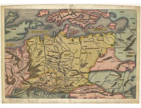
Location: 1493
Published: Nuremberg, 1493
Size: 392 x 575mm.
Color: Coloured.
Condition: Skillfully restored at the bottom corners. On the right side some paper thinness. Small area ca. 1-3 mm part on the left side ( eg.: letter "B" in the world BRITANICA and some part on the lover right corner are replaced or redrawn in a professional way. Overall nice example.
Map of Northern Europe and centered on Poland. First issue, with Latin text colophon and date on verso. The map is deemed to ..
5,000€
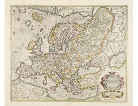
Location: 1628
Published: Amsterdam, 1628
Size: 382 x 470mm.
Color: In original colours.
Condition: A good and strong impression. In mint condition. The cartouche is highlighted with gold dots!
General map of Europe, as well as Americae Pars, Greenland, Iceland, a Polar landmass, along with the mythical islands of Fri..
2,000€
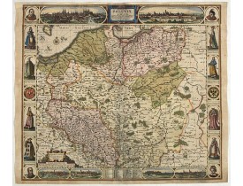
Location: 1630
Published: Amsterdam, 1630
Size: 468 x 535mm.
Color: Coloured.
Condition: Upper margin cut into the border. Upper margin remargined and missing area carefully redrawn. Some repairs of marginal tears. Paper slightly age toned. Dark impression.
A finely engraved carte á figures with cartouche representing in the four corners of the map : Kings ( on the left side Sigis..
4,000€
Location: 1650
Published: Amsterdam, 1650
Size: 640 x 970mm.
Color: Uncoloured.
Condition: Because of its dimensions the map is printed from two plates. Underlaying on folds, lower margin cut to lower neat line and contemporarily added margin.
Prepared by Petrus Bertius in 1616. Very large historical map (four sheets joined) depicting the empire of Charles the Great...
350€
Location: 1680
Published: Paris, 1680
Size: 325 x 480mm.
Color: Uncoloured.
Condition: Cut on the neat line and in lower part into longitude scale, with extended margins to fit in composite atlas. Part in upper left and right corner cut off. Dark impression.
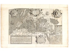
Copied after a map by Ortelius, but much rarer. The medallion portraits are of Romulus and Remus - the genealogical 'tree' de..
2,500€
Location: 1700
Published: Paris, 1700
Size: 463 x 599 mm.
Color: In attractive original colours.
Condition: In very good. Some paper thinness on old folds. Backed with very thin Japan paper for protective reason. Paper size : 1395 x 1510mm.
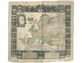
[NOLIN, Jean-Baptiste / Jean-Baptiste NOLIN II - L'Europe Dressée Sur les Nouvelles observations. . . - 36889 - - [NOLIN, J..
9,500€
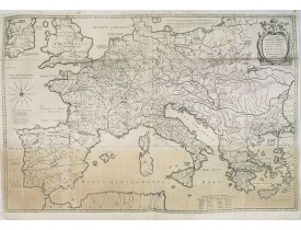
Location: 1762
Published: Paris, 1762
Size: 385 x 510mm.
Color: In original colours.
Condition: In good condition. Dark impression.
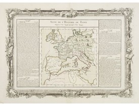
Map of ancient Roman Empire. Two distance scales.Left and right a box with geographical information for Europe.Prepared by Bu..
100€
Location: 1827
Published: Paris, Thiériot, 1827
Size: 150 x 100 mm.
Color: Uncoloured.
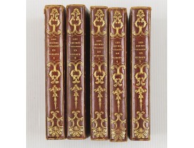
Condition: 5 volumes in half marocco, spine richly gitted. Pages a very little browned, and binding a little bit rubbed, but generally in very good condition.
BRIAND, P.-C. - Les jeunes voyageurs en Europe, ou description raisonnée des divers pays compris dans cette partie du monde...
1,000€
Location: 1840
Published: Paris, 1840
Size: 595 x 740 mm.
Color: Uncoloured.
Condition: Good impression, printed on heavy paper. Paper slightly toned. Repair of some, mainly marginal tears along outer center fold.
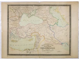
Etablissement Géographique de Bruxelles - Carte physique et politique de la Turquie d'Europe et d'Asie contenant la Syrie, u..
160€
Location: 1871
Published: Paris, 1871
Size: 340 x 265mm.
Color: In original printed colours.
Condition: Original lithograph. One marginal tear just affecting a small part of in the middle left side.
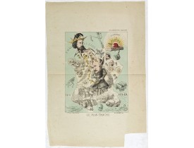
Lithography showing a map of France with a caricature of General Trochu and other scenes imposed on it. Designed by the Fren..
750€
Showing 1 to 10 of 10 (1 Pages)


