Bourgogne
Location: 1606
Published: Amsterdam, 1606
Size: 85 x 125mm.
Color: Uncoloured.
Condition: In very good condition, lightly age toned, with light water stains, all with wide margins, a nice dark impression. Latin text to verso.
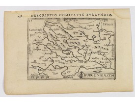
A decorative small map of region around Dijon, Halons and Dole in Burgundy. Features a nice strap-work title, shows rivers an..
100€
Location: 1606
Published: Amsterdam, 1606
Size: 85 x 125mm.
Color: Uncoloured.
Condition: In very good condition, lightly age toned, with light water stains, all with wide margins, a nice dark impression. Latin text to verso.
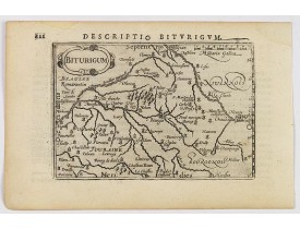
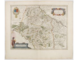
A charming small map of central France. Showing the areas around the rivers Loire, Auron, Allier and Yevre. Nevers and Bourge..
100€
Location: 1606
Published: Amsterdam, 1606
Size: 85 x 125mm.
Color: Uncoloured.
Condition: In very good condition, lightly age toned, with light water stains, all with wide margins, a nice dark impression. Latin text to verso.
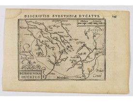
A decorative small map of region around Dijon, Chalons and Dole in Burgundy. Shows many rivers including the Seine, Saone and..
100€
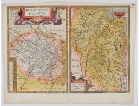
Location: 1612
Published: Antwerp, after 1612
Size: 358 x 505mm.
Color: In attactive original colours
Condition: Good and dark impression. Blank on the verso.
Separately issued map of Burgundy area. Two maps on one plate of Burgundy and Franche-Comté regions. Without text on the ver..
400€
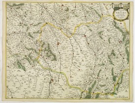
Location: 1631
Published: Amsterdam, after 1631
Size: 412 x 528mm.
Color: In attractive strong original colours.
Condition: Paper slightly age-toned. Good and dark impression.
A map centered on Reims in France. Prepared by Jean Jubrien (1569-1641). In the upper right-hand part, a coloured cartouche i..
100€
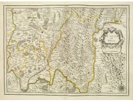
Location: 1634
Published: Paris, 1634
Size: 368 x 516mm.
Color: In original o/l colours.
Condition: Bel exemplaire.
Carte de la Bresse comprenant une partie de la Savoie et du Dauphiné. Ornée d'un cartouche de titre et d'une rose des vents.-..
200€
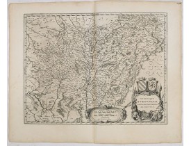
Location: 1634
Published: Amsterdam, 1634
Size: 385 x 495 mm.
Color: Uncoloured.
Condition: Wide margins and very strong impression.Very good condition. German text on verso. Slightly discoloured at centerfold.
BLAEU, W. - Utriusque Burgundiae, tum Ducatus tum Comitatus, Descriptio. - 36052 - Bourgogne - BLAEU, W. - Utriusque Burgund..
100€
Location: 1640
Published: Paris, ca. 1640
Size: 375 x 505mm.
Color: In original o/l colours.
Condition: Bel exemplaire. Quelques pâles traces d'humidité en haut à droite.
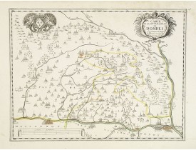
Carte de la région des Dombes comprenant les villes de Saint-Amour, Bourg, Mâcon, Lyon. Ornée en haut à droite d'un cartouche..
100€
Location: 1644
Published: Amsterdam, 1644
Size: 382 x 500mm.
Color: In attractive strong original colours.
Condition: In good condition.
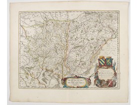
A very decorative map with beautiful cartouches of a province of France by one of the most famous map publishers.The city of ..
200€
Location: 1644
Published: Amsterdam, 1644
Size: 385 x 500mm.
Color: In attractive strong original colours.
Condition: Wide margins and strong impression.
A very decorative map with beautiful cartouches of a province of France by one of the most famous map publishers. From early..
200€
Location: 1648
Published: Paris, c. 1648
Size: 375 x 495 mm.
Color: In original o/l colours.
Condition: Cut close to the scale border. Printed without title cartouche. Slightly browning along border scale.
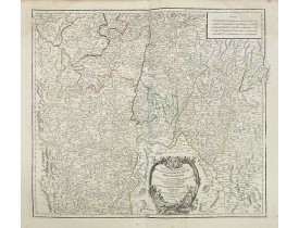
SANSON, N. - [Les Deux Bourgognes, Duché et Comté, la Bresse & la Souveraineté de Dombes, le Nivernois, &c.].? - 44009 - Bou..
200€
Location: 1683
Published: Paris, 1683
Size: 155 x 110mm.
Color: Uncolored
Condition: Paper slightly age toned, strong impression. In fine condition.
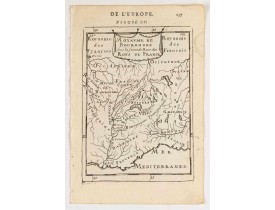
MANESSON MALLET, A. - Royaume de Bourgogne sous la seconde race des roys de France. - 46502 - Bourgogne - MANESSON MALLET, A..
45€
Location: 1683
Published: Paris, 1683
Size: 155 x 105mm.
Color: Uncolored
Condition: Paper slightly age toned, strong impression. In fine condition.
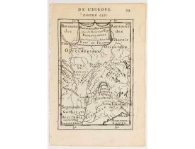
MANESSON MALLET, A. - Royaume des… Royaume de Bourgogne sous la race des rois Bourguigons. - 46501 - Bourgogne - MANESSON MA..
45€
Location: 1686
Published: Paris, chez Jollain rue S. Jacques, 1686
Size: 335 x 390mm.
Color: In original o/l colours.
Condition: Légèrement froissée en son centre.
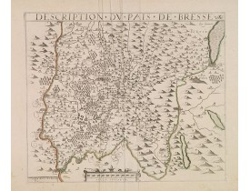
Rare carte de la Bresse publiée par Jollain. La date d'édition de 1666 a été modifiée en 1686...
500€
Location: 1752
Published: Paris, 1752
Size: 475 x 490mm.
Color: In original o/l colours.
Condition: Larges mouillures affectant les angles supérieurs, pliure verticale à droite du pli central.
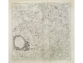
Carte détaillée de Bourgogne. Centrée sur la ville de l'Espoisse et montrant les villes d'Autun, Vezelay, Tonnerre et Challon..
50€
Location: 1752
Published: Paris, 1752
Size: 485 x 545mm.
Color: In original o/l colours.
Condition: Pâles mouillures dans les angles supérieurs. Trace de pliure dans le cartouche.
Carte détaillée du sud la Bourgogne et du Lyonnais. Figure les villes de Mâcon, Bourg-en-Bresse, Vienne…..
50€
Location: 1780
Published: Paris, ca. 1780
Size: 585 x 930mm.
Color: Uncoloured.
Condition: Carte en 21 segments entoilée. Format replié 200x135. Belle étiquette vendeur J. Andriveau-Coujon.
Carte de Tonnerre et de ses environs, villes des départements de la Bourgogne et de la Franche comté.La carte de Cassini ou c..
50€
Location: 1780
Published: Paris, ca. 1780
Size: 585 x 930mm.
Color: Uncoloured.
Condition: Carte en 21 segments entoilée. Format replié 200x135. Belle étiquette vendeur J. Andriveau-Coujon.
Carte de Chalon-sur-Saône et de ses environs, villes du département de Saône et Loire.La carte de Cassini ou carte de l'Acadé..
50€
Location: 1780
Published: Paris, ca. 1780
Size: 585 x 930mm.
Color: Uncoloured.
Condition: Carte en 21 segments entoilée. Format replié 200x135. Belle étiquette vendeur J. Andriveau-Coujon.
Carte de Dijon et de ses environs, villes de la région de Bourgogne et de Franche comté.La carte de Cassini ou carte de l'Aca..
50€
Location: 1780
Published: Paris, ca. 1780
Size: 570 x 895mm.
Color: Uncoloured.
Condition: Carte dépliante en 21 segments entoilée. Format replié 200 x 135 mm. Etiquette de l'éditeur J. Andriveau-Goujon.
Carte de Saône et Loire avec la ville d'Autun.La carte de Cassini ou carte de l'Académie est la première carte générale du ro..
50€
Location: 1806
Published: Paris, Prudhomme, Levrault, Debray, 1806
Size: 145 x 95mm.
Color: In original o/l colours.
Condition: Belle impression. Marge gauche courte.
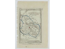
Carte centrée sur la ville d'Auxerre, avec une petite légende dans le coin inférieur gauche.@..
15€
Location: 1806
Published: Paris, Prudhomme, Levrault, Debray, 1806
Size: 95 x 148 mm.
Color: In original o/l colours.
Condition: Belle impression. Marge supérieure courte.
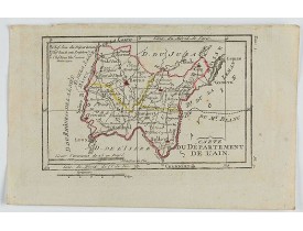
DELAPORTE, L'Abbé. - Carte du Département de l'Ain. - 62278 - Bourgogne - DELAPORTE, L'Abbé. - Carte du Département de l'Ain..
20€
Location: 1841
Published: Paris, M. B. Dusillon, ca. 1841
Size: 480 x 675mm.
Color: In original o/l colors.
Condition: Paper slightly age toned but generally in very good condition. The maps on strong paper. Size of the sheet 560mm x 740mm.
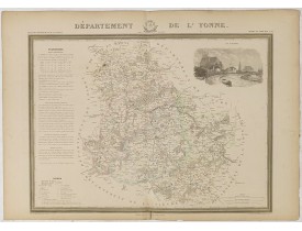
Map of the department of Yonne published in "Atlas Général de France", divided by departments by Donnet and Monin, geographer..
150€
Location: 1841
Published: Paris, M. B. Dusillon, ca. 1841
Size: 480 x 675mm.
Color: In original o/l colors.
Condition: Paper slightly age toned but generally in very good condition. The maps on strong paper. Size of the sheet 560mm x 740mm.
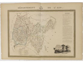
Map of the department of Ain published in "Atlas Général de France", divided by departments by Donnet and Monin, geographers ..
150€
Location: 1841
Published: Paris, M. B. Dusillon, ca. 1841
Size: 480 x 675mm.
Color: In original o/l colors.
Condition: Paper slightly age toned but generally in very good condition. The maps on strong paper. Size of the sheet 560mm x 740mm.
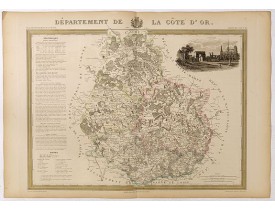
Detailed map of Côte d'Or, from "Atlas général de France divisée en départements par Donnet et Monin ; avec armes et vues de ..
180€

![SANSON, N. - [Les Deux Bourgognes, Duché et Comté, la Bresse & la Souveraineté de Dombes, le Nivernois, &c.].? SANSON, N. - [Les Deux Bourgognes, Duché et Comté, la Bresse & la Souveraineté de Dombes, le Nivernois, &c.].?](https://www.loeb-larocque.com/eshop/image/cache/catalog/image/new_upload/SANSON-N-[Les-Deux-Bourgognes-Duché-et-Comté-la-Bresse-la-Souveraineté-de-Dombes-le-Nivernois-c-]-275x210w.jpg)
