Belgium
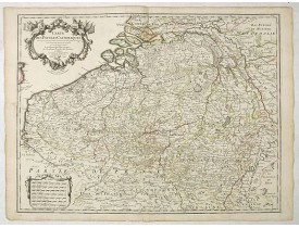
Location: 1612
Published: Anvers, 1592-1612
Size: 377 x 492mm.
Color: In attractive original colours.
Condition: Very good codition.
From a rare Spanish text edition. Very fine map of Flanders, after Gerard Mercator's map of 1540. Copper engraving with Spani..
1,500€
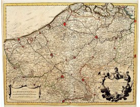
Location: 1624
Published: Amsterdam, 1617- 1624
Size: 383 x 495mm.
Color: Original colors
Condition: Reinforced centerfold with some paper thinness. Paper age toned. Paper a bit brittle, as usual. Dark impression.
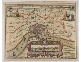
A wonderfully decorative map showing in the middle of the image a town plan from Antwerp and in the lower part an inset with ..
750€
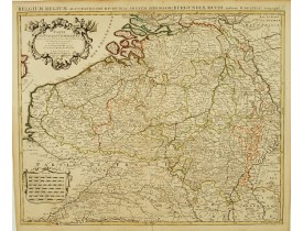
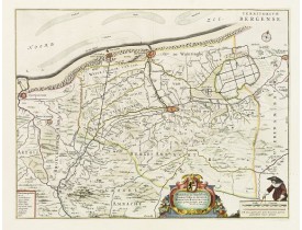
Location: 1661
Published: Amsterdam, 1661
Size: 376 x 488mm.
Color: Original colours.
Condition: In mint condition. With wide margins.
With a dedication by Jacobus de la Fontaine to the nobles and the magistrates of Bergen. Very detailed map including the town..
530€
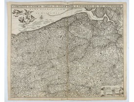
Location: 1680
Published: Amsterdam, 1680
Size: 460 x 555mm.
Color: Uncoloured.
Condition: A dark and good impression on thick paper. In very good condition.
Double page map of Flanders, the whole Belgian region northwest of Brussels, confined by Antwerp, Brussels, valenciennes, Arr..
100€
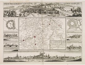
Location: 1692
Published: Paris, c. 1692
Size: 384 x 510mm.
Color: Uncoloured.
Condition: Good and dark impression.
Decorative map centered on Namen and including the towns of Liege, Leuven, Charleroy, Dinant, Luxemburg, etc. by François Jol..
2,000€
Location: 1696
Published: Venice, 1696
Size: 602 x 890mm.
Color: Uncoloured.
Condition: A few tiny worm holes in center fold. In very good condition. Dark impression. Printed on thick paper.
Wall sized map of two joined sheets of Flanders, the coastline running from Calais to Zeeland in the Netherlands. Including m..
600€
Location: 1700
Published: France, ca. 1670-1700
Size: 265 x 310mm.
Color: Uncoloured.
Condition: Original manuscript map in brown ink. Margins cut close. And to the left shaving the image. Slightly stained, but altogether in very good condition.
Manuscript town-plan of Gent, as it was at about 1670. To the left text related to the history of the town...
750€
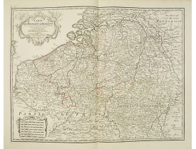
Location: 1702
Published: Paris, 1702
Size: 475 x 625 mm.
Color: In original o/l colors.
Condition: In good condition.
DELISLE, G . - Carte Des Pays Bas Catholiques Dressée. . . - 41941 - Belgium - DELISLE, G . - Carte Des Pays Bas Catholiques..
225€
Location: 1745
Published: Amsterdam c. 1745
Size: 415 x 260mm.
Color: In original o/l colours.
Condition: Printed on heavy paper, slightly age-toned. Short margins as issued. Very good condition.
Large, detailed map of the Flanders including the French Flemish-speaking area. Shows illustrated topography with notations a..
100€
Location: 1745
Published: Amsterdam c. 1745
Size: 502 x 610mm.
Color: In original colours.
Condition: Original colour in outline and highlights on stout paper, slightly age-toned. Short margins as issued. Split lower part centerfold, 15 mm into the engraved area. Very good condition.
Topographically detailed map that extends from Paris to Metz and north into Holland. Details include roads and scores of vill..
150€
Location: 1780
Published: Paris, 1780
Size: 468 x 607mm.
Color: In original o/l colours.
Condition: Very good condition.
Topographically detailed map of the southern part of the Low Countries that extends from Paris to Metz and north into Holland..
150€
Location: 1793
Published: Venise, 1793
Size: 478 x 660mm.
Color: In original colours.
Condition: Some minor spotting. Repair of small marginal tear in upper part center fold.
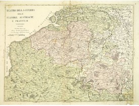
Rare map of Belgium by Antonio Zatta e Figli a Venice-based publishing company headed by Antonio Zatta, 1757-1797. Maps by Za..
400€
Location: 1874
Published: Anvers, F. Tessaro, 1874
Size: 600 x 870mm.
Color: In attactive original colours.
Condition: Bel exemplaire sur papier fort. Traces de pliures plus visibles au verso.
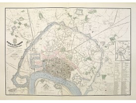
Très grand plan quadrillé de la ville d'Anvers Dressé et dessiné par les géomètres soussignés Franck et François Rogmans, pub..
500€
Location: 1883
Published: Bruxelles, 1883
Size: 735 x 965mm.
Color: In attactive original colours.
Condition: Good condition. Dissected and mounted on canvas in 32 sheets. Colour lithography with additional original o/l hand colouring.
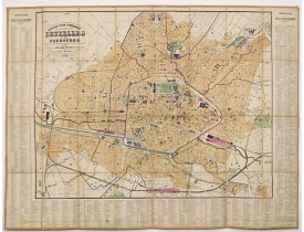
Decorative folding plan of Brussels, with to the right, left and bottom a key to the important street buildings and streets. ..
250€
Showing 1 to 14 of 14 (1 Pages)


![CORONELLI, V.M. - Flandra parte occidentale: dedicata all'illustrissimo et eccelententissimo S. Giorgio Cocco, senatore meritissimo. . . [together with] Zelanda e Parte Orientale della Flandra. . . . CORONELLI, V.M. - Flandra parte occidentale: dedicata all'illustrissimo et eccelententissimo S. Giorgio Cocco, senatore meritissimo. . . [together with] Zelanda e Parte Orientale della Flandra. . . .](https://www.loeb-larocque.com/eshop/image/cache/catalog/image/new_upload/31286-275x210w.jpg)
![ANONYME - Gandauu Urbs flandria primaria. . . [Gend] ANONYME - Gandauu Urbs flandria primaria. . . [Gend]](https://www.loeb-larocque.com/eshop/image/cache/catalog/image/new_upload/32254-275x210h.jpg)
