Picardy
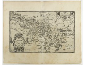
Location: 1590
Published: Antwerp, 1590
Size: 325 x 510mm.
Color: Uncoloured.
Condition: French text on the verso. Wide margins and a strong and dark impression. In fine condition.
From Theatrum Orbis Terrarum [Atlas of the Whole World]. Prepared by Jean Surhon...
200€
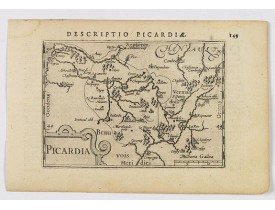
Location: 1606
Published: Amsterdam, 1606
Size: 85 x 125mm.
Color: Uncoloured.
Condition: In very good condition, lightly age toned, with light water stains, all with wide margins, a nice dark impression. Latin text to verso.
A decorative miniature map of Picardy, a historical northern French region. A map that appears to be sparsely populated is st..
100€
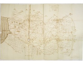
Location: 1607
Published: 1607
Size: 685 x 1080mm.
Color: Uncoloured.
Condition: Manuscrit à l'encre brune sur papier fort. Nombreux plis, déchirures avec parfois manques de papier le long des pliures.
Superbe carte manuscrite, de grand format, de la région Artois-Picardie extrêmement détaillée du point de vue des localités ;..
1,500€
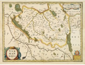
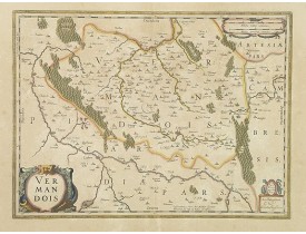
Location: 1625
Published: Amsterdam / Paris, ca. 1625
Size: 373 x 503mm.
Color: In attactive original colours.
Condition: Papier légèrement bruni. Sans texte eu verso.
Map showing the region of Vermandois in the Northern French Province of Picardy, centered of St Quintin. In lower left hand a..
150€
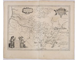
Location: 1633
Published: Amsterdam, 1633
Size: 375 x 500mm.
Color: In attactive original colours.
Condition: Papier bruni.
Map showing the north of France and centred of St Quintin. In lower left hand a ornemental title cartouche...
100€
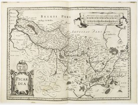
Location: 1634
Published: Amsterdam, 1634
Size: 380 x 532 mm.
Color: Uncoloured.
Condition: Map is light age toned with a spot in the lower margin. Strong impression, otherwise in good condition. German text to verso.
BLAEU, W. - Picardia Regio Belgica. - 36058 - Picardy - BLAEU, W. - Picardia Regio Belgica. - 36058 - Picardy..
100€
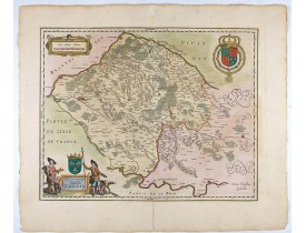
Location: 1640
Published: Amsterdam / Paris, ca. 1640
Size: 374 x 500mm.
Color: Uncoloured.
Condition: Belle impression. Sans texte au verso.
Carte de Picardie publiée sans texte au verso vraisemblablement dans un atlas composite français.Dans la première moitié du 1..
120€
Location: 1645
Published: Amsterdam, 1645
Size: 405 x 510 mm.
Color: Original colours.
Condition: Fine. With wide margins. Repair of split lower part center fold, 3cm. Into the engraved area. Paper slightly browned, as usual. Cartouches and several town spots heightened in gold.
JANSSONIUS, J. - Valesium Ducatus. - Valois. - 28006 - Picardy - JANSSONIUS, J. - Valesium Ducatus. - Valois. - 28006 - Pica..
250€
Location: 1655
Published: Francfort / Main, 1655
Size: 135 x 305mm.
Color: Uncoloured.
Condition: Paper age-toned. Else in good condition.
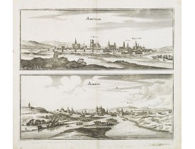
Two views printed on two separate plates of Abbeville and Amiens with its Cathedral in Picardy, France.Abbatis Villa" (rural ..
50€
Location: 1705
Published: Paris, 1705
Size: 243 x 355mm.
Color: Uncoloured.
Condition: Mint condition. Dark impression. <br />Together with an engraved text sheet.
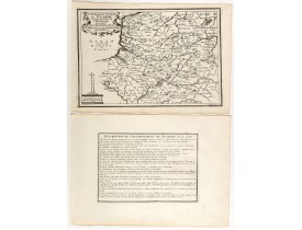
Map of the Picardie region, from Nicolas de Fer's "L'Atlas curieux ou le Monde réprésente dans des cartes. "The "Atlas Curieu..
50€
Location: 1737
Published: Paris, 1737
Size: 500 x 700mm.
Color: In original o/l colours.
Condition: Bel exemplaire.
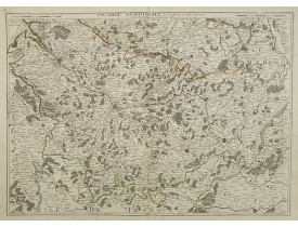
Comprend les villes d'Abbeville, Amiens, Cambrai, Beauvais, Compiègne et Soissons. Etienne-Louis Crépy. Graveur de géographi..
200€
Location: 1745
Published: Amsterdam, ca. 1745
Size: 470 x 585mm.
Color: In original o/l colours.
Condition: Imprimé sur papier fort. - Printed on heavy paper, slightly age-toned. Very good condition.
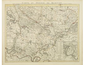
Highly detailed regional map, with an inset town plan of Beauvais. Shows illustrated topography with towns, roads, rivers, la..
250€
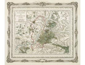
Location: 1766
Published: Paris, 1766
Size: 254 x 293mm.
Color: In attactive original colours.
Condition: Beau col. ancien.
Charming small map depicting the area around Compiègne. Surrounded by a decorative frame embellished with floral patterns.Fro..
80€
Location: 1780
Published: Paris, ca. 1780
Size: 585 x 930mm.
Color: Uncoloured.
Condition: Carte en 21 segments entoilée. Format replié 200x135. Belle étiquette vendeur J. Andriveau-Coujon.
Carte de Douay et de ses environs, villes de la région de Picardie.La carte de Cassini ou carte de l'Académie est la première..
50€
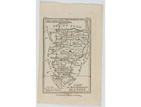
Location: 1806
Published: Paris, Prudhomme, Levrault, Debray, 1806
Size: 150 x 97 mm.
Color: In original o/l colours.
Condition: Belle impression. Marge gauche courte.
DELAPORTE, L'Abbé. - Carte du Département de l'Aisne. - 62279 - Picardy - DELAPORTE, L'Abbé. - Carte du Département de l'Ais..
20€
Location: 1806
Published: Paris, Prudhomme, Levrault, Debray, 1806
Size: 102 x 157mm.
Color: In original o/l colours.
Condition: Belle impression. Marge supérieure courte.
Carte centrée sur la ville d' Amiens, avec une petite légende dans le coin inférieur gauche. @..
15€
Location: 1806
Published: Paris, Prudhomme, Levrault, Debray, 1806
Size: 98 x 150mm.
Color: In original o/l colours.
Condition: Belle impression. Marge supérieure courte. Petit manque de papier dans le coin inférieur droit, n'affectant pas l'image.
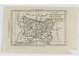
Carte de l'Oise, avec une petite légende sous le titre.@..
15€
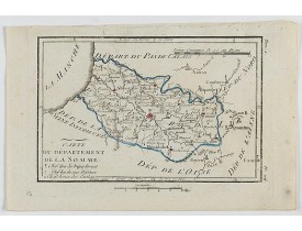
Location: 1818
Published: Paris, au Bureau de l'Atlas National de France, 1790-1818
Size: 500 x 565mm.
Color: In attactive original colours.
Condition: Exemplaire sur papier fort replié. 2 petits trous le long des plis, mouillure dans la marge de droite.
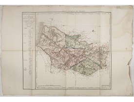
Carte du département de la Somme gravée par d'Houdan, publié dans "Atlas National de France, en départements. Décreté ... Par..
100€
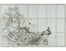
Location: 1834
Published: Paris, Imp. Lith. Lemercier, 1834
Size: 575 x 838mm.
Color: Uncoloured.
Condition: Lithographed folding map on canvas in its in original green cardboard slip-case.
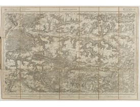
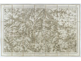
Detailed map depicting the region of Soissons comprising Compiègne and La Ferté-Milon...
100€
Location: 1841
Published: Paris, M. B. Dusillon, ca. 1841
Size: 480 x 675mm.
Color: In original o/l colors.
Condition: Paper slightly age toned but generally in very good condition. The maps on strong paper. Size of the sheet 560mm x 740mm.
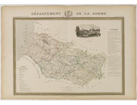
Detailed map of Somme, from "Atlas général de France divisée en départements par Donnet et Monin ; avec armes et vues de Chap..
180€
Location: 1841
Published: Paris, M. B. Dusillon, ca. 1841
Size: 480 x 675mm.
Color: In original o/l colors.
Condition: Paper slightly age toned but generally in very good condition. The maps on strong paper. Size of the sheet 560mm x 740mm.
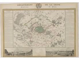
Detailed map of La Seine, centered on Paris, from "Atlas général de France divisée en départements par Donnet et Monin ; avec..
250€
Location: 1841
Published: Paris, M. B. Dusillon, ca. 1841
Size: 675 x 480mm.
Color: In original o/l colors.
Condition: Paper slightly age toned but generally in very good condition. The maps on strong paper. Size of the sheet 560mm x 740mm.
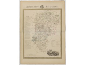
Detailed map of Aisne from "Atlas général de France divisée en départements par Donnet et Monin ; avec armes et vues de Chapu..
150€
Showing 1 to 24 of 24 (1 Pages)


