Netherlands
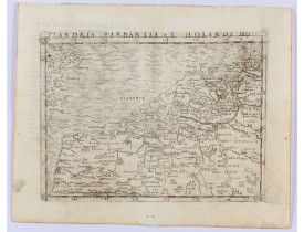
Location: 1548
Published: Venice, 1548
Size: 130 x 174mm.
Color: Uncolored
Condition: Copper engraving. Latin text on verso.
Gastaldi's modern map of the Low Countries of the Netherlands, Belgium and Luxembourg. It includes parts of England, France a..
400€
Location: 1564
Published: Basle, ca. 1564
Size: 125 x 155mm.
Color: Uncoloured.
Condition: In very good condition. Wood block print with letter press.
RECTO: A panoramic view of the city of Groningen dated 1573.VERSO: a woodcut of a cow, a bull and their calf.Taken from Seba..
50€
Location: 1575
Published: Cologne, 1575
Size: 330 x 465mm.
Color: Uncoloured.
Condition: Good impression. Paper slightly browned.
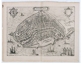
Very desirable and early town-plan of Dordrecht.From volume one of the greatest publication in this genre!. The Civitates was..
200€
Location: 1598
Published: Antwerp, 1598
Size: 368 x 473 mm.
Color: Uncoloured.
Condition: French text on the verso. Wide margins and a strong and dark impression. In fine condition.
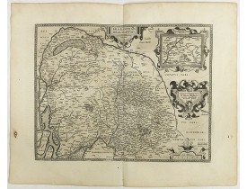
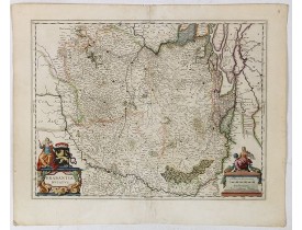
ORTELIUS, A. - Brabantiae Descriptio. - 40952 - Netherlands - ORTELIUS, A. - Brabantiae Descriptio. - 40952 - Netherlands..
500€
Location: 1618
Published: Amsterdam, Johannes Janssonius, 1618
Size: 130 x 180mm.
Color: Uncoloured
Condition: Oblong 8vo (text) & small oblong 4to (plates) (13 x 18 cm). With 2 portraits, 8 engraved armorial plates. The first 2 sheets of text are cropped and have extended lower margins. These are followed by 30 engraved views or scenes most with a Latin text at the foot. Interleaved. Contemp. calf, gold-tooled spine.
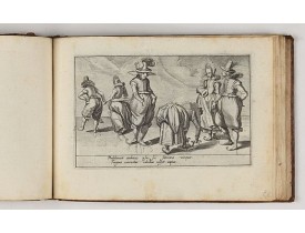
Charming book illustrated with portraits of Willem of Orange and Prince Maurits and , 8 engraved armorial plates. Followed by..
4,500€
Location: 1634
Published: Amsterdam, 1634
Size: 374 x 485mm.
Color: 8
Condition: Age toning. Papier thining along the folds.
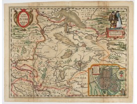
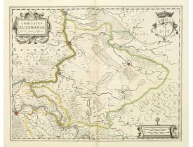
VISSCHER, C.J. - Comitatus Zutphania. - 47902 - Netherlands - VISSCHER, C.J. - Comitatus Zutphania. - 47902 - Netherlands..
450€
Location: 1634
Published: Amsterdam, 1634
Size: 400 x 510 mm.
Color: Uncoloured.
Condition: Paper slightly age-toned. Some water staining to upper and lower margins, small repair to 8cm centerfold split, just into engraved surface. German text on verso.
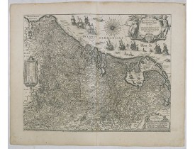
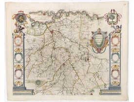
BLAEU, W. - Novus XVII Inferioris Germaniae Provinciarum Typus. - 36079 - Netherlands - BLAEU, W. - Novus XVII Inferioris Ge..
750€
Location: 1634
Published: Paris, 1634
Size: 370 x 520mm.
Color: Uncolored
Condition: Faded contemporary outline coloring. Centerfold and horizontal with paper thinning and restored. Light foxing. Else in good condition.
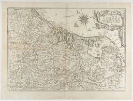
Rare map of the Low Countries, including Belgium, the Netherlands and Luxembourg after Tassin and offered for sale by the pub..
600€
Location: 1636
Published: Amsterdam, c. 1636
Size: 462 x 560 mm.
Color: Uncoloured.
Condition: Split of 22 cm at centerfold re-enforced and backed with a large strip of paper. Lower margin cut into the scale border. Adhesive strip at lower left corner. Dark impression.
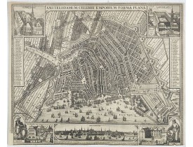
VISSCHER, C. Jsz. - Amstelodamum, Celebre Emporium Forma Plana. - 44392 - Netherlands - VISSCHER, C. Jsz. - Amstelodamum, Ce..
4,750€
Location: 1636
Published: Amsterdam, 1636
Size: 382 x 483mm.
Color: In original o/l colours.
Condition: Printed on thin paper. Very good condition. Paper little bit wringled. No text on verso.
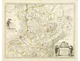
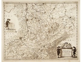
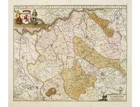
A very rare issue of this map of Limburg. Cornelis Danckerts II. copied the folio map of H.Hondius.The publisher's address wa..
500€
Location: 1636
Published: Amsterdam, 1636
Size: 382 x 495mm.
Color: Uncoloured
Condition: Printed on thin paper. Very good condition.
A very rare issue of this map of Limburg. Cornelis Danckerts II. copied the folio map of H.Hondius. The publisher's address w..
465€
Location: 1637
Published: Amsterdam, 1637
Size: 380 x 5485mm.
Color: In original o/l colours.
Condition: Altogether in very good condition.
A very detailed map of this area, including Arnhem, Nijmegen, Zutphen, Groenlo, etc. First imprint, from a Latin edition of t..
200€
Location: 1645
Published: Amsterdam, 1645
Size: 410 x 520mm.
Color: In attractive original colours.
Condition: A good and dark impression in original colours on strong paper. Some light toning of paper.<br />French text on verso.
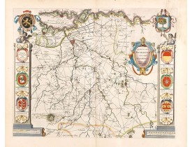
The coat of arms of Brabant and 's-Hertogenbosch do appear on the map. But the municipal arms in the columns on right and lef..
750€
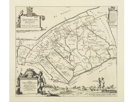
Location: 1645
Published: Amsterdam 1645
Size: 382 x 509mm.
Color: Original colours.
Condition: In good condition. Dark impression.
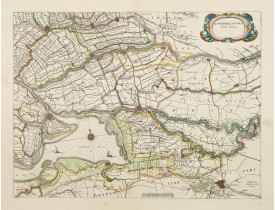
The count ship of Holland was subdivided into a number of bailiwicks. The most southerly bailiwick, bordering on Brabant was ..
350€
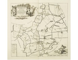
Location: 1645
Published: Amsterdam, 1645
Size: 380 x 497mm.
Color: In attractive strong original colours.
Condition: Dark impression, printed on heavy paper. Paper slightly age toned, repair to split lower part center fold.
West is at the top. On the lower left a magnificent cartouche with a sitting female figure carrying a globe and compasses and..
450€
Location: 1645
Published: Amsterdam, 1645
Size: 410 x 520mm.
Color: In attractive strong original colours.
Condition: A good and dark impression in strong original colours. Very good condition.
A good and dark impression in strong original colours.The third state. The coat of arms of Brabant and 's-Hertogenbosch appea..
1,300€
Location: 1680
Published: Amsterdam, 1680
Size: 468 x 548mm.
Color: In attactive original colours
Condition: In very good condition. A good and dark impression.
Detailed map orientated west to the top...
450€
Location: 1690
Published: Amsterdam, 1690
Size: 470 x 559mm.
Color: In attactive original colours.
Condition: Printed on heavy paper. Backed with tissue paper for protective reason. In good condition.
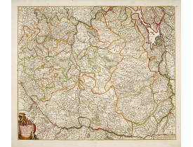
The map describes the southern part of Limburg and reaches into Belgium (Liége, Verviers) and Germany. With two very decorati..
300€
Location: 1692
Published: Venice 1692
Size: 458 x 603mm.
Color: Uncoloured.
Condition: Good and dark impression. Paper slightly water stained, can easily be removed. Short margins as issued.
A most attractive and decorative map by Vincenzo Coronelli. An elaborate title cartouche garlanded with intertwined flowers a..
300€
Location: 1692
Published: Amsterdam, 1692
Size: 424 x 565mm.
Color: In original o/l colours.
Condition: Printed on heavy, somewhat browned paper. Some minor marginal spotting. Else a good dark impression.
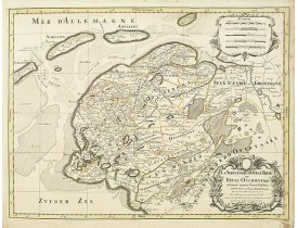
Fine map of the Frise Occidentale with a decorative title and scale cartouche.Alexis-Hubert Jaillot (1632-1712), was a French..
200€
Location: 1692
Published: Paris, ca.1692
Size: 186 x 311 mm.
Color: Uncoloured.
Condition: Good and dark impression, laid down on paper. Paper slightly browned.
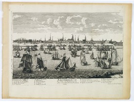
A very decorative and extremely rare town-view of Amsterdam, including a numbered key ( A- T) in lower part. Engraved by Pier..
500€
Location: 1692
Published: Paris, ca.1692
Size: 189 x 305 mm.
Color: Uncoloured.
Condition: Good and dark impression, laid down on paper. Paper slightly browned.
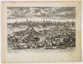
AVELINE, P. A. - Mastric ou Maëstricht, Ville du Brabant-Hollandois. . . - 28989 - Netherlands - AVELINE, P. A. - Mastric ou..
600€
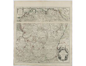
Location: 1705
Published: Paris, 1705
Size: 640 x 640mm.
Color: In original o/l colours.
Condition: Good impression. A two-sheet map, when joined together 640 x 640mm.
Map of Brabant with the address : Chez l’Auteur sur le Quai de l’Horloge (address erased after Horloge). Avec privilege du Ro..
300€
Location: 1718
Published: Amsterdam, 1718
Size: 470 x 415mm.
Color: Uncoloured.
Condition: A good and dark impression.
Historical map of the present-day Low Countries prepared by the Menso Alting (1637-1713). He was burgomaster of Groningen and..
250€
Location: 1718
Published: Amsterdam, 1718
Size: 363 x 425mm.
Color: Uncoloured.
Condition: A good and dark impression.
Historical map of the present-day Low Countries prepared by the Menso Alting (1637-1713). He was burgomaster of Groningen and..
250€

![MUNSTER, S. - Groeninga MDLXXIII. [Groningen] MUNSTER, S. - Groeninga MDLXXIII. [Groningen]](https://www.loeb-larocque.com/eshop/image/cache/catalog/image/new_upload/27192-275x210h.jpg)
