Île-de-France
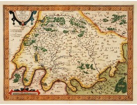
Location: 1608
Published: Anvers, 1598-1608
Size: 340 x 460mm.
Color: In attactive colours.
Condition: Italian text.
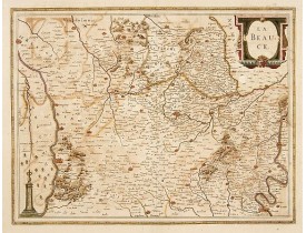
In 1595 Adam La Planche wrote Ortelius that he had obtained from Pierre Pithou a manuscript map of Ile de France, attributed ..
450€
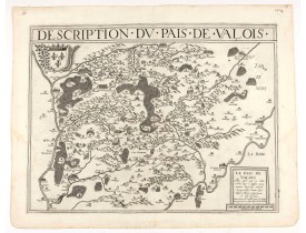
Location: 1632
Published: Paris, 1632
Size: 350 x 472mm.
Color: 1
Condition: Good and dark impression. In fine condition.
DE TEMPLEUX, D. / LE CLERC, J. - Description du pais de Valois. - 46599 - Île-de-France - DE TEMPLEUX, D. / LE CLERC, J. - D..
250€
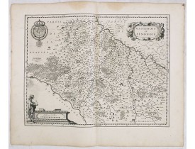
Location: 1634
Published: Amsterdam, 1634
Size: 378 x 500 mm.
Color: Uncoloured.
Condition: Some water staining to top margin and light marginal spotting. Else fine and dark impression. German text to verso.
FIRST EDITION, FIRST ISSUE OF THIS MAP. From the 1634 edition of Blaeu's Atlas Novus, the first edition of this work.A very d..
80€
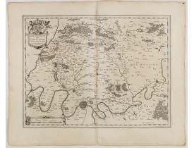
Location: 1634
Published: Amsterdam, 1634
Size: 382 x 500 mm.
Color: Uncoloured.
Condition: A good and dark impression. Slightly discoloured along the centerfold. German text to verso.
FIRST EDITION, FIRST ISSUE OF THIS MAP. From the 1634 edition of Blaeu's Atlas Novus, the first edition of this work.A d..
150€
Location: 1635
Published: Amsterdam, 1635
Size: 380 x 490mm.
Color: In attactive original colours.
Condition: Split in lower part centerfold expertly repaired. Good and dark impression.
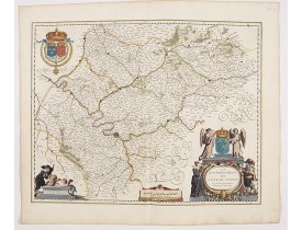
A map showing the area around Beauvais. A beautifull and coloured cartouche with a chain of leaves and fruits and a male figu..
250€
Location: 1640
Published: Amsterdam, 1640
Size: 381 x 497mm.
Color: In attactive original colours.
Condition: Paper very slightly age-toned. Minor offsetting due to oxidation of green paint.
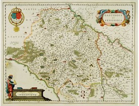
A very decorative map with beautiful title cartouche of the environs south-west of Paris by one of the most famous map publis..
200€
Location: 1644
Published: Amsterdam, 1644
Size: 410 x 520mm.
Color: In attractive strong original colours.
Condition: Generally in very fine condition. French text to verso.
Very detailed map of Ile de France centered on Paris. Showing Beauvais, Compiègne, Noyon, Laon, Soisson, Vernon, Mantes, Pont..
300€
Location: 1644
Published: Amsterdam, 1644
Size: 390 x 498mm.
Color: In attractive strong original colours.
Condition: Wide margins. Good impression.
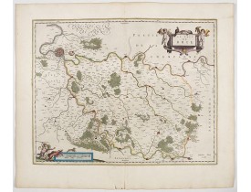
A very decorative map showing the environs south-east of Paris with beautiful cartouches. From early on Willem Jansz. Blaeu ..
300€
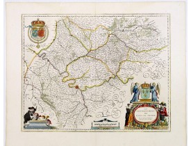
Location: 1645
Published: Amsterdam, 1645
Size: 382 x 499mm.
Color: In attactive original colours.
Condition: In mint condition.
A very decorative map with beautiful cartouches of a province of France by one of the most famous map publishers...
350€
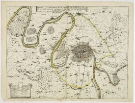
Location: 1645
Published: Paris, ca. 1645
Size: 395 x 520mm.
Color: In original o/l colours.
Condition: Petite mouillure en bas du pli central. Bel exemplaire.
Très rare carte de la banlieue de Paris, réalisée et éditée "Par Jean Boisseau Enlumineur du Roy pour les Cartes Geographique..
1,000€
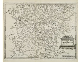
Location: 1655
Published: Francfort/Main, 1655
Size: 275 x 355mm.
Color: Uncoloured.
Condition: Bel exemplaire
Carte figurant le Gouvernement général de l'Île-de-France, publiée dans la "Topographia Galliae"de Merian. 1655 à 1661, Gaspa..
100€
Location: 1658
Published: Amsterdam, 1658
Size: 410 x 479mm.
Color: In attactive original colours.
Condition: Printed on heavy paper. Dutch text on verso. Wide margins, good impression. Minor offsetting of colour, upper left corner. Else fine.
Map of the region centered on Paris. A region immortalized by painters like Corot, Pissarro, and Monet.Decorative title cart..
800€
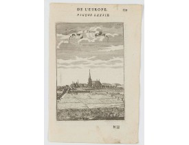
Location: 1683
Published: Paris, 1683
Size: 148 x 98 mm.
Color: Uncoloured.
Condition: Paper slightly age toned, strong impression. In fine condition.
MANESSON MALLET, A. - St. Denis - 46054 - Île-de-France - MANESSON MALLET, A. - St. Denis - 46054 - Île-de-France..
50€
Location: 1683
Published: Paris, 1683
Size: 150 x 108 mm.
Color: Uncoloured.
Condition: Paper slightly age toned, strong impression. In fine condition.
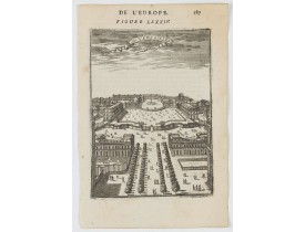
MANESSON MALLET, A. - C. De Versailles. - 46053 - Île-de-France towns - MANESSON MALLET, A. - C. De Versailles. - 46053 - Îl..
50€
Location: 1692
Published: Amsterdam, 1692
Size: 426 x 644mm.
Color: In original o/l colours.
Condition: Printed on heavy, somewhat browned paper. Some minor marginal spotting. Else a good dark impression.
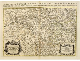
Fine map of the ile de France with a decorative title and scale cartouche.Alexis-Hubert Jaillot (1632-1712), was a French car..
200€
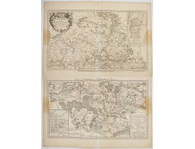
Location: 1693
Published: Venice, 1693
Size: 600 x 900mm.
Color: Uncoloured.
Condition: Very light discolouration in the left hand side of the maps. Else good.
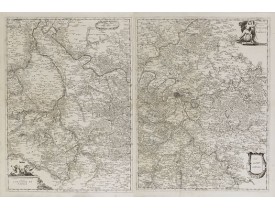
Two detailed maps showing the region of Paris with decorative title cartouches in the lower left & upper right corners...
700€
Location: 1696
Published: Paris, 1696
Size: 450 x 650 mm.
Color: In attactive original colours.
Condition: Bel exemplaire sur papier fort. Belle impression.
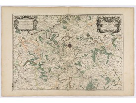
JAILLOT, A.H. - La Prevosté et l'Eslection de Paris. - 36779 - Île-de-France - JAILLOT, A.H. - La Prevosté et l'Eslection de..
200€
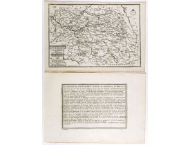
Location: 1705
Published: Paris, 1705
Size: 247 x 360mm.
Color: Uncoloured.
Condition: Mint condition. Dark impression. <br />Together with an engraved text sheet.
Map of the Isle de France and Champagne regions, from Nicolas de Fer's "L'Atlas curieux ou le Monde réprésente dans des carte..
50€
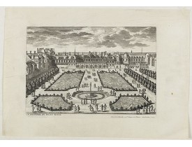
Location: 1707
Published: Paris, 1700 - 1707
Size: 185 x 272mm.
Color: Uncoloured.
Condition: good impression.
View of the Palais Royal published by I. Mariette. Etched by Gabriel Pérelle (1603-1677) and included in "Veues des plus beau..
200€
Location: 1717
Published: Paris, 1717
Size: 820 x 690 mm.
Color: In original o/l colours.
Condition: Two brown stains at center left and right, just affecting the printed area. Paper very slightly age toned.<br />Each map ca. 413 x 690mm.
JAILLOT, A. H. - EVESCHÉ DE MEAUX dédié A Monseigneur Jacques Benigne Bossuet, Evescque de Meaux. . . - 36770 - Île-de-Franc..
100€
Location: 1753
Published: Paris, 1753
Size: 485 x 590mm.
Color: In original o/l colours.
Condition: Larges mouillures affectant les angles supérieurs. Sur papier fort. Fente en bas du pli central.
Carte des environ de Paris, figurant les villes de Montfort l'Amaury, l'Isle-Adam, Coulommiers et Etampes...
50€
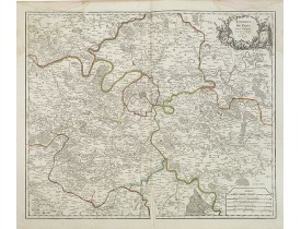
Location: 1755
Published: Paris, 1755
Size: 478 x 515mm.
Color: In original o/l colours.
Condition: Larges mouillures dans les angles supérieurs.
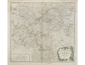
Carte détaillée de l'Ile-de-France couvrant les régions de Mantes à La Fère champenoise et de Roye à Sens...
50€
Location: 1760
Published: Paris, ca. 1760
Size: 292 x 420mm.
Color: In attractive strong original colours.
Condition: Professional repair of a tear on the upper margin, just attaining the title. Good condition.
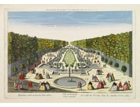
So-called optical print illustrating a perspective view of a promenade inside the garden of Versailles. In the eighteenth and..
150€
Location: 1760
Published: Paris, c. 1760
Size: 340 x 510mm.
Color: In attactive original colors
Condition: Paper slightly browned particularly in the margins, water staining in the left-hand margin, right-hand margin a bit frayed, faint centerfold.
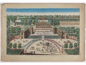
A rare panoramic view of the Château de Marly (Marly-le-Roi) by Aveline. The plate, at the joint address of Esnault et Rapill..
250€
Location: 1783
Published: Paris ca 1783
Size: 415 x 298mm.
Color: In attractive original body colours.
Condition: Marginal water staining, just affecting the left corners of the map. Minor discolouration along centerfold. Minor spot at the left of the cartouche. Good margins. Good impression.
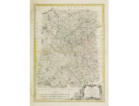
Attractive map of part of France, centred on Paris and ornated with a rococo title cartouche. Boundaries outlined in hand col..
50€

