Anjou - Maine
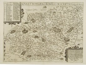
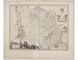
Location: 1593
Published: Antwerp, ca. 1593
Size: 350 x 470mm.
Color: 1
Condition: Good and dark impression. Blank verso.
DE JODE, G. - Nova et integra caenomaniae descriptio vulg. Le Mans. - 47961 - Anjou - Maine - DE JODE, G. - Nova et integra ..
400€
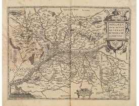
Location: 1598
Published: Anvers, 1598
Size: 360 x 470 mm.
Color: In attactive colours.
Condition: Some very light marginal discolouration.
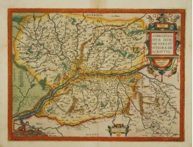
ORTELIUS, A. - Anjou. Andegavensium Ditionis Vera et Integra Descriptio. Licimo Guijeto Andegavense auctore. - 09808 - Anjo..
300€
Location: 1609
Published: Amsterdam/Frankfurt, 1609
Size: 85 x 123mm.
Color: Uncoloured.
Condition: Some minor age-toning of paper. Generally in good condition.
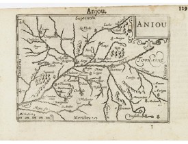
Petite carte centrée sur Angers. Cartouche de titre en haut à droite. Publiées pour la première fois en 1598 dans le "Caert-T..
50€
Location: 1619
Published: Paris, ca. 1619
Size: 340 x 450mm.
Color: Uncoloured.
Condition: Papier fortement bruni, pliure verticale le long du pli central.
Un cartouche de titre et une échelle. Le "Theatre geographique de France" de Leclerc est le prolongement du "Theatre" de Boug..
200€
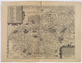
Location: 1619
Published: Paris, ca. 1619
Size: 350 x 460 mm.
Color: Uncoloured
Condition: Dark impression. Very good.
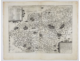
BOUGUEREAU, M. / LECLERC, J. - Nova et integra caeomaiae descriptio vulgo, le Mans. - 61687 - Anjou - Maine - BOUGUEREAU, M...
500€
Location: 1619
Published: Paris, ca. 1619
Size: 350 x 460mm.
Color: Uncoloured.
Condition: Papier légèrement jauni. Pliure marquée le long du pli central. Léger accroc sans manque en haut du pli central.
Carte diocésaine représentant le diocèse du Mans ornée de 2 cartouches. Le "Theatre geographique de France" de Leclerc est le..
400€
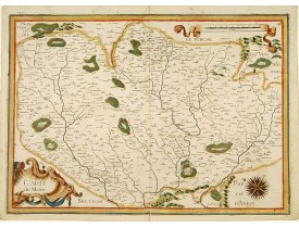
Location: 1634
Published: Paris, 1634
Size: 370 x 510 mm.
Color: In attactive original colours.
Condition: Paper slightly age-toned, and some slight marginal water staining, hardly affecting engraved area. Very good.
TASSIN, N. - Carte du Maine. - 15598 - Anjou - Maine - TASSIN, N. - Carte du Maine. - 15598 - Anjou - Maine..
350€
Location: 1634
Published: Amsterdam, 1634
Size: 385 x 500 mm.
Color: Uncoloured.
Condition: Minor marginal water staining on top margin, light discolouration to centerfold. Strong impression. Else fine. German text to verso.
BLAEU, W. - Belsia, Vulgo La Beausse. - 36056 - Anjou - Maine - BLAEU, W. - Belsia, Vulgo La Beausse. - 36056 - Anjou - Main..
100€
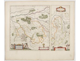
Location: 1644
Published: Amsterdam, 1644
Size: 381 x 507mm.
Color: Original colours.
Condition: Wide margins, good impression.
Two maps on one sheet respectively centered on Loudun and Mirebeau. Showing lower left cartouche putti playing with grapes. ..
150€
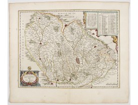
Location: 1644
Published: Amsterdam, 1644
Size: 385 x 500mm.
Color: In original colours.
Condition: A good and dark impression.
Detailed map of the surrounding region of Le Mans. Depicting the Cathedral and some churchs of the city, etc. Showing also Sa..
200€
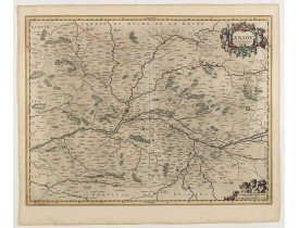
Location: 1650
Published: Amsterdam, 1650
Size: 492 x 383mm.
Color: In original colours.
Condition: Paper slightly age-toned. A good and dark impression
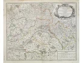
Decorative map centered on the Loire valley. Fine title cartouche in upper right corner...
700€
Location: 1745
Published: Paris, Ph. Buache Gendre de l'Auteur,1745
Size: 482 x 655mm.
Color: In original o/l colours.
Condition: Bel exemplaire dont les marges ont été agrandies anciennement. Fente en bas du pli central consolidée dans la marge avec du papier adhésif.
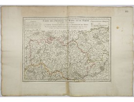
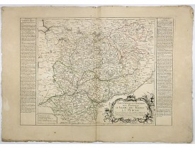
Carte figurant les provinces du Maine et du Perche. Le Perche est divisé en Grand Perche ou Haut Perche, Petit Perche et Perc..
150€
Location: 1753
Published: Paris, 1753
Size: 475 x 575mm.
Color: In original o/l colours.
Condition: Mouillures dans les angles supérieurs.
Carte détaillée de l'Orléanais figurant Orléans, Montargis, Romorentin, Vendôme…..
50€
Location: 1760
Published: Paris, 1760
Size: 172 x 244mm.
Color: Uncoloured.
Condition: Very good impression. Good margins. Minor water stain on the lower border, hardly noticeable.
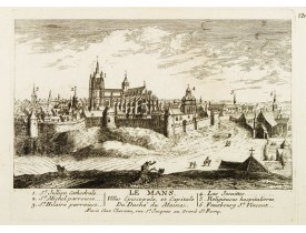
Panoramic view of the city of Le Mans, including a numbered legend in both lower corners. The plate is numbered in black pen..
80€
Location: 1773
Published: Paris, Basset, 1773
Size: 480 x 680mm.
Color: In original o/l colours.
Condition: Pâle mouillure en haut du pli central, papier légèrement jauni, consolidations en bas du pli central et en marge inférieure.
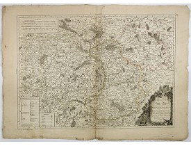
Carte très détaillée, gravée par l'auteur, figurant le gouvernement général du Maine et du Perche. La carte est dédiée à M.P...
200€
Location: 1777
Published: Paris, Basset, 1777
Size: 460 x 645mm.
Color: In original o/l colours.
Condition: Sur papier fort, légèrement jauni.
Carte peu commune divisée en gouvernements militaires dressée par J-B. Nolin. Carte encadrée de part et d'autre par un texte ..
200€
Location: 1806
Published: Paris, Prudhomme, Levrault, Debray, 1806
Size: 150 x 95 mm.
Color: In original o/l colours.
Condition: Belle impression.
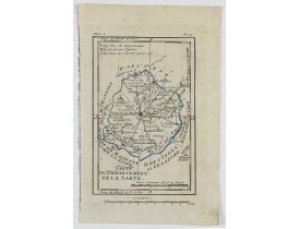
DELAPORTE, L'Abbé. - Carte du Département de la Sarte. - 62216 - Anjou - Maine - DELAPORTE, L'Abbé. - Carte du Département d..
20€
Location: 1806
Published: Paris, Prudhomme, Levrault, Debray, 1806
Size: 95 x 148 mm.
Color: In original o/l colours.
Condition: Belle impression.
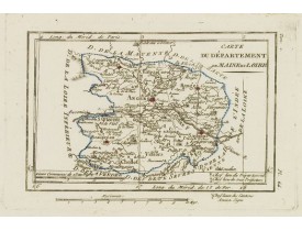
DELAPORTE, L'Abbé. - Carte du Département de Maine et Loire. - 62226 - Anjou - Maine - DELAPORTE, L'Abbé. - Carte du Départe..
20€
Location: 1813
Published: Paris, chez Jean, 1813
Size: 385 x 530mm.
Color: Uncoloured.
Condition: Plan dépliant entoilé en 8 sections bordé de soie bleue, formant un plan de 385 x 530 mm. Bel exemplaire.
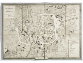
Beau et rare plan de la ville d’Angers, encadré d’une bordure décorative imitant un cadre. Il figure les travaux d’aménagemen..
950€
Location: 1841
Published: Paris, M. B. Dusillon, ca. 1841
Size: 480 x 675mm.
Color: In original o/l colors.
Condition: Paper slightly age toned but generally in very good condition. The maps on strong paper. Size of the sheet 560mm x 740mm.
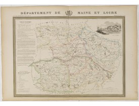
Detailed map of Maine and Loire from "Atlas général de France divisée en départements par Donnet et Monin ; avec armes et vue..
150€
Location: 1841
Published: Paris, M. B. Dusillon, ca. 1841
Size: 480 x 675mm.
Color: In original o/l colors.
Condition: Paper slightly age toned but generally in very good condition. The maps on strong paper. Size of the sheet 560mm x 740mm.
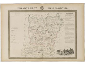
Map of the department of La Mayenne published in "Atlas Général de France", divided by departments by Donnet and Monin, geogr..
150€
Location: 1841
Published: Paris, M. B. Dusillon, ca. 1841
Size: 480 x 675mm.
Color: In original o/l colors.
Condition: Paper slightly age toned but generally in very good condition. The maps on strong paper. Size of the sheet 560mm x 740mm.
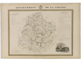
Map of the department of Sarthe published in "Atlas Général de France", divided by departments by Donnet and Monin, geographe..
150€
Location: 1852
Published: Paris, A. Combette, 1852
Size: 285 x 420mm.
Color: In original o/l colours.
Condition: Tres bon état. Gravure sur acier avec limites en coloris d'époque, les éléments décoratifs ne sont pas coloriés.
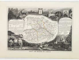
Carte du département de Maine et Loire. Jeune ingénieur géographe du milieu du XIXe siècle, Victor Levasseur est surtout conn..
30€
Location: 1852
Published: Paris, A. Combette, 1852
Size: 410 x 280mm.
Color: In original o/l colours.
Condition: Tres bon état. Gravure sur acier avec limites en coloris d'époque, les éléments décoratifs ne sont pas coloriés.
Carte du département de la Mayenne. Jeune ingénieur géographe du milieu du XIXe siècle, Victor Levasseur est surtout connu po..
30€
Location: 1860
Published: Paris, ca. 1860
Size: 157 x 231mm.
Color: In original colours.
Condition: Infimes rousseurs en bordure n'affectant pas le sujet.
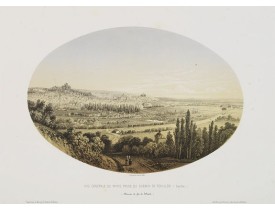
Lithographie en couleurs représentant la ville du Mans "(Sarthe.) (Chemin de fer de l'Ouest)". Dessiné et lithographié par Ja..
30€
Showing 1 to 25 of 25 (1 Pages)


![LEVASSEUR, V. - Dépt. De La Mayenne. N°52. [ Laval ] LEVASSEUR, V. - Dépt. De La Mayenne. N°52. [ Laval ]](https://www.loeb-larocque.com/eshop/image/cache/catalog/image/new_upload/27131-275x210w.jpg)
