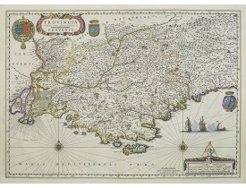
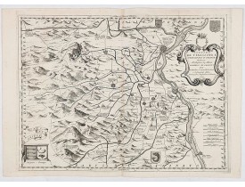
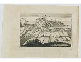
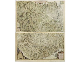
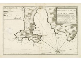
Provence
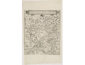
Location: 1593
Published: Antwerp, 1593
Size: 300 x 242mm.
Color: Uncoloured.
Condition: Very good and dark impression. Left margin cut close to plate mark. Professional repair of tear in the lower right side, 8,5 cm into the engraved area.
Rare map depicting part of Provence with Avignon, Cavaillon, Orange, Carpentras, etc.Gerard De Jode was the great rival of Or..
300€
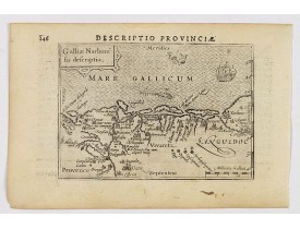
Location: 1606
Published: Amsterdam, 1606
Size: 85 x 125mm.
Color: Uncoloured.
Condition: In very good condition, lightly age toned, with light water stains, all with wide margins, a nice dark impression. Latin text to verso.
A decorative miniature map of Provence - a geographical region and historical province of south-eastern France, which extend..
100€
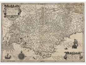
Location: 1613
Published: Amsterdam, 1613
Size: 355 x 507mm.
Color: Uncoloured
Condition: Margins cut on neat lines. Paper lightly age toned but some mouldings in the upper right corner. Good and dark impression.
A finely engraved map of the Provence prepared by Pierre-Jean de Bompar who published a single sheet map of the Provence in 1..
500€
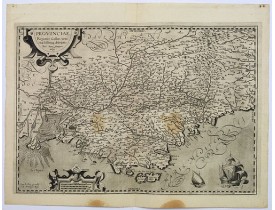
Location: 1620
Published: Paris, ca. 1620
Size: 345 x 500mm.
Color: Uncoloured.
Condition: Some brown stains to the lower margin, otherwise in very good condition. Dark impression and good margins.
This is a highly detailed and well engraved map of Provence in southern France. Engraved by H.Picart and published by Jean le..
400€
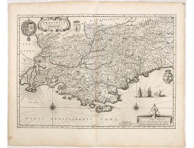
Location: 1634
Published: Amsterdam, 1634
Size: 385 x 538mm.
Color: Uncoloured.
Condition: In very good condition. Good dark impression. German text on verso.
A striking and very decorative map of this southern French region. This lovely map is enlivened by several beautiful cartouch..
500€
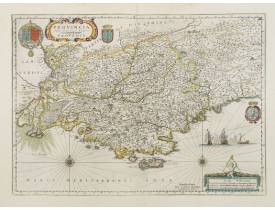
Location: 1635
Published: Amsterdam, 1635
Size: 387 x 542mm.
Color: In attactive original colours
Condition: In very good condition.
A very decorative map, several cartouches, prepared by Pierre Jean Bompar.In this region over half of the rosé wines produced..
800€
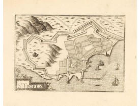
Location: 1636
Published: Paris, Sébastien Cramoisy, 1636
Size: 107 x 152mm.
Color: Uncoloured.
Condition: Good condition.
Early view of St. Tropez. Published by Nicolas Tassin in "Les Plans et Profilz de toutes principalles Villes et lieux conside..
95€
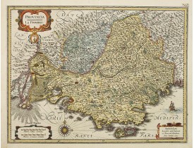
Location: 1636
Published: Amsterdam, 1636
Size: 377 x 498mm.
Color: In original colours.
Condition: Very light browning. Repair of two tiny holes in center fold. Wide margins.
Detailed map of the Province including the towns of Marseille, Avignon, Nice, Aix-en-Provence, Sisteron, etc...
500€
Location: 1637
Published: Paris, Melchior Tavernier, 1637
Size: 515 x 540mm.
Color: Uncoloured.
Condition: Bel exemplaire. Coin supérieur gauche restauré et renforcé, petite fente à droite habilement restaurée.
Rare map illustrating the naval battle between the French and Spanish off the Coast near Cannes.The map shows the battle of t..
1,500€
Location: 1637
Published: Paris, Melchior Tavernier, 1637
Size: 405 x 530mm.
Color: Uncoloured.
Condition: Papier bruni, larges mouillures en bas de carte et le long du pli médian. Petites déchirures en bordure de carte.
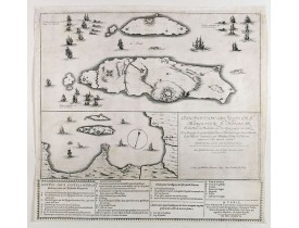
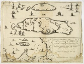
Très rare carte figurant les îles de Sainte-Marguerite et Saint-Honorat (îles de Lérins). Dressée par l'ingénieur Saint-Clair..
800€
Location: 1644
Published: Amsterdam , 1644
Size: 382 x 496mm.
Color: In original colours.
Condition: Good condition.
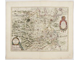
A beautiful map of Orange and Avignon, decorated with finely engraved title cartouches. South to the top. Lower right early s..
250€
Location: 1650
Published: Frankfurt 1650
Size: 205 x 325mm.
Color: Uncoloured.
Condition: Dark impression.
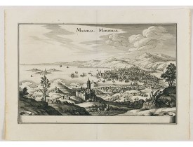
Detailed bird's-eye view of the town of Marseille. From Merian's Theatrum Europaeum. To the bottom a lettered key to the prin..
100€
Location: 1650
Published: Amsterdam, 1650
Size: 385 x 538mm.
Color: In attactive original colours.
Condition: Très bel exemplaire. - In very good condition.
A very decorative map, several cartouches, prepared by Pierre Jean Bompar.In this region over half of the rosé wines produced..
800€
Location: 1690
Published: Venice 1690
Size: 448 x 600mm.
Color: Uncoloured.
Condition: Brown paper all along the centerfold, small missing part filled in. Else in good condition.
A most attractive and decorative map centered on Avignon and Orange, by Vincenzo Coronelli. An elaborate title cartouche garl..
400€
Location: 1692
Published: Paris, 1692
Size: 138 x 210mm.
Color: Uncoloured.
Condition: Good impression.
Engraved birds eye view of Nice. Shows rivers, canals, bridges, landmarks, farms and buildings. Relief shown pictorially...
150€
Location: 1693
Published: Paris, 1693
Size: 980 x 810mm.
Color: In attactive original colours.
Condition: Carte en 4 feuilles assemblées en 2 planches non jointes, découpées à l'époque le long de l'échelle et collées sur papier fort. Magnifiquement coloriée à l'époque avec certains noms rehaussés d'or (Comté de Nice...).
Titre complet : "Principauté de Piemont Seigneurie de Verceil Duché ou Val d'Aoust Marquisat d'Ivreé Marquisat de Suse Comté ..
4,000€
Location: 1700
Published: Amsterdam, ca. 1700
Size: 410 x 515mm.
Color: Uncolored
Condition: Très bel exemplaire sur papier fort. Impression bien contrastée. Grandes marges : 535 x 620 mm. Sans texte au verso. Infimes rousseurs. - A very fine copy on strong paper. A good and dark impression. Wide margins: 535 x 620 mm. Blank verso. Very slight foxing.
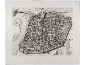
SCARCE bird's-eye view of Avignon (Provence) figuring the Popes' Palace and the fortifications. Adorned with a cartouche at b..
1,000€
Location: 1720
Published: Leyde, 1720
Size: 235 x 565mm.
Color: Uncoloured.
Condition: Bel exemplaire.
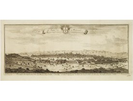
Rare vue de Marseille issue de "La galerie agréable du Monde" ou des "Forces de l'Europe", publiés par P. Van der Aa. Renvois..
1,500€
Location: 1720
Published: Amsterdam, ca. 1720
Size: 473 x 545mm.
Color: Coloured.
Condition: Très bel exemplaire finement aquarellé.
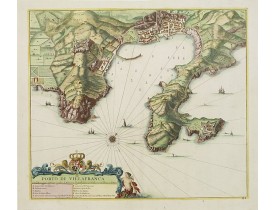
Carte représentant la rade de Villefranche. Contient une table de renvois intitulée : "Porto di Villafranca" : A à L. Sont c..
1,300€
Location: 1730
Published: Marseille, 1730
Size: 180 x 250mm.
Color: Uncoloured.
Condition: In very good condition. On thick paper, paper very slightly age-toned.
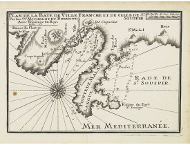
An attractive sea chart centered on Villefranche-sur-Mer and including Nice and Eze-Bord-de-Mer. With scale and a large compa..
300€
Location: 1730
Published: Marseille, 1730
Size: 180 x 250mm.
Color: Uncoloured.
Condition: In very good condition. On thick paper, paper very slightly age-toned.
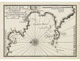
An attractive chart centered on Six-Fours-les-Plages and Sanary-sur-Mer, west of Toulon. With scale and large compass-rose. D..
200€
Location: 1730
Published: Marseille, 1730
Size: 180 x 250mm.
Color: Uncoloured.
Condition: In very good condition. On thick paper, paper very slightly age-toned.
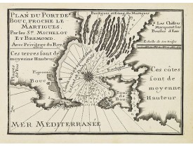
An attractive chart centered on Port-de-Bouc, west of Marseille. With scale and large compass-rose. Dated 1727, with the prev..
200€
Location: 1730
Published: Paris, 1730
Size: 215 x 320mm.
Color: Uncolored
Condition: Dark impression.
Prepared by N.Sanson. Printed on two copper plates...
25€
Location: 1735
Published: Amsterdam, c.1735
Size: 1591 x 1355mm.
Color: Original outline colours.
Condition: Wall map in 4 panels of 3 sheets each not joined, mounted on canvas. Water staining and some moisture stains more visible on the canvas. Dark impression. Cardboard case covered with marbled paper, label with the 2 title in manuscript.
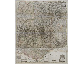
Rare wall map of the Savoie/Piémont and Dauphiné/Provence region. Decorated with 2 title-cartouches, one at upper right part ..
2,500€
Location: 1746
Published: Marseille 1732-1746
Size: 300 x 455mm.
Color: Uncolored
Condition: Belle impression.
Publié dans: "Recueil de plusieurs plans des ports et rades et de quelques cartes particulières de la mer Méditerranée..." pa..
250€


