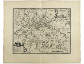
Touraine
Location: 1598
Published: Anvers, 1598
Size: 360 x 460 mm.
Color: Uncoloured.
Condition: French text on the verso. Wide margins and a strong and dark impression. In fine condition.
ORTELIUS, A. - Touraine. Turonensis Ducatus. - 40966 - Touraine - ORTELIUS, A. - Touraine. Turonensis Ducatus. - 40966 - Tou..
300€
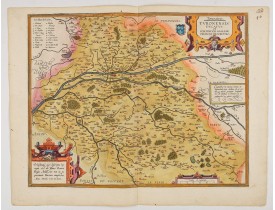
Location: 1598
Published: Antwerp, 1598
Size: 360 x 460mm.
Color: In attactive original colours
Condition: Blank on the verso. Strong and dark impression. In fine condition.
ORTELIUS, A. - Touraine. Turonensis Ducatus. - 47960 - Touraine - ORTELIUS, A. - Touraine. Turonensis Ducatus. - 47960 - Tou..
300€
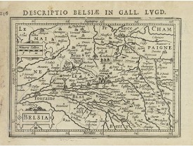
Location: 1618
Published: Amsterdam 1616-1618
Size: 93 x 133mm.
Color: Uncoloured.
Condition: Good condition. Paper slightly age-toned.
Text in latin on verso...
80€
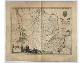
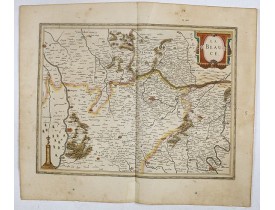
Location: 1634
Published: Amsterdam , ca. 1634
Size: 387 x 503mm.
Color: In original colours.
Condition: Fine. With wide margins. Paper slightly browned, as usual.
In the left-hand lower part of the image a beautiful contemporary cartouche with goddess Ceres [agricultural] holding a reapi..
75€
Location: 1640
Published: Amsterdam, 1640
Size: 380 x 497mm.
Color: In original colours.
Condition: In good condition.
A very decorative map with beautiful title cartouche of the environs north-west of Paris by one of the most famous map publis..
75€
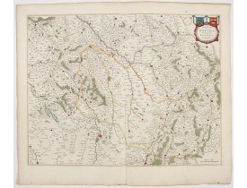
Location: 1644
Published: Amsterdam, 1644
Size: 386 x 505 mm.
Color: In attractive strong original colours.
Condition: Generally in very fine condition. French text to verso.
BLAEU, W. - Veromanduorum.. Vermandois / Gouvernement de la Capelle. - 45057 - Touraine - BLAEU, W. - Veromanduorum.. Verman..
200€
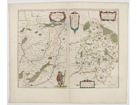
Location: 1644
Published: Amsterdam, 1644
Size: 412 x 528mm.
Color: In attractive strong original colours.
Condition: Paper slightly age-toned. Good and dark impression.
A map centered on Reims in France. Prepared by Jean Jubrien (1569-1641). In the upper right-hand part, a coloured cartouche i..
200€
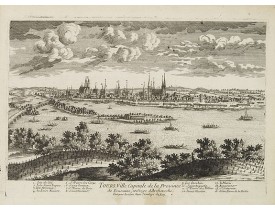
Location: 1692
Published: Paris, ca.1692
Size: 190 x 305 mm.
Color: Uncoloured.
Condition: Good and dark impression, laid down on paper. Paper slightly browned.
AVELINE, P. A. - Tours, Ville Capitale de la Province de Touraine. . . - 28998 - Touraine - AVELINE, P. A. - Tours, Ville Ca..
250€
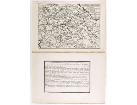
Location: 1705
Published: Paris, 1705
Size: 243 x 337mm.
Color: Uncoloured.
Condition: Mint condition. Dark impression. <br />Together with an engraved text sheet.
Map centered on Loire region, with Blois, Saumur, Sancerre and Orleans, from Nicolas de Fer's "L'Atlas curieux ou le Monde ré..
50€
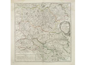
Location: 1753
Published: Paris, 1753
Size: 474 x 454mm.
Color: In original o/l colours.
Condition: Mouillures dans les angles supérieurs.
Carte détaillée du Maine et Perche, de l'Anjou, de la Touraine et du Saumurois. Centrée sur la ville de La Flèche, et figuran..
50€
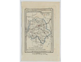
Location: 1806
Published: Paris, Prudhomme, Levrault, Debray, 1806
Size: 148 x 96mm.
Color: In original o/l colours.
Condition: Belle impression. Marge gauche courte. Infime tache brune dans le coin supérieur droit.
Carte centrée sur la ville de Tours, avec une petite légende...
15€
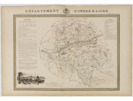
Location: 1841
Published: Paris, M. B. Dusillon, ca. 1841
Size: 825 x 1060mm.
Color: In original o/l colors.
Condition: Paper slightly age toned but generally in very good condition. The maps on strong paper. Size of the sheet 560mm x 740mm.
Detailed map of l'Indre et Loire from "Atlas général de France divisée en départements par Donnet et Monin ; avec armes et vu..
0€
Location: 1852
Published: Paris, A. Combette, 1852
Size: 410 x 265mm.
Color: In original o/l colours.
Condition: Tres bon état. Gravure sur acier avec limites en coloris d'époque, les éléments décoratifs ne sont pas coloriés.
Carte du département de l'Indre et de la Loir. Jeune ingénieur géographe du milieu du XIXe siècle, Victor Levasseur est surto..
50€
Showing 1 to 13 of 13 (1 Pages)


![LEVASSEUR, V. - Dépt. D' Indre et Loir. N°36. [ Tours ] LEVASSEUR, V. - Dépt. D' Indre et Loir. N°36. [ Tours ]](https://www.loeb-larocque.com/eshop/image/cache/catalog/image/new_upload/27115-275x210h.jpg)