Europe continent
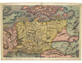
Location: 1493
Published: Nuremberg, 1493
Size: 392 x 575mm.
Color: Coloured.
Condition: Skillfully restored at the bottom corners. On the right side some paper thinness. Small area ca. 1-3 mm part on the left side ( eg.: letter "B" in the world BRITANICA and some part on the lover right corner are replaced or redrawn in a professional way. Overall nice example.
Map of Northern Europe and centered on Poland. First issue, with Latin text colophon and date on verso. The map is deemed to ..
5,000€
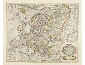
Location: 1628
Published: Amsterdam, 1628
Size: 382 x 470mm.
Color: In original colours.
Condition: A good and strong impression. In mint condition. The cartouche is highlighted with gold dots!
General map of Europe, as well as Americae Pars, Greenland, Iceland, a Polar landmass, along with the mythical islands of Fri..
2,000€
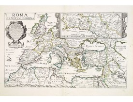
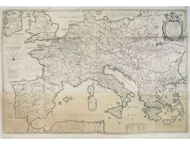
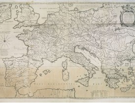
Location: 1637
Published: Paris, 1637
Size: 307 x 506mm.
Color: Uncoloured.
Condition: In very good condition. Dark impression.
Rare map of Europe during the Roman Empire. In upper right corner inset map of the area around Rome "Imperium Romanum Nasces ..
1,500€
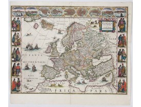
Location: 1644
Published: Amsterdam, 1644
Size: 410 x 552mm.
Color: Colored
Condition: A dark impression. Printed on heavy paper. Mint condition and coloring.
On either side columns depicting the manner of dress in the major countries of Europe, surmounted by nine city views and plan..
3,500€
Location: 1650
Published: Amsterdam, 1650
Size: 640 x 970mm.
Color: Uncoloured.
Condition: Because of its dimensions the map is printed from two plates. Underlaying on folds, lower margin cut to lower neat line and contemporarily added margin.
Prepared by Petrus Bertius in 1616. Very large historical map (four sheets joined) depicting the empire of Charles the Great...
350€
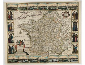
Location: 1653
Published: Amsterdam, 1653
Size: 470 x 555mm.
Color: Colored
Condition: Paper washed. Good and dark impression. Cut on the neat line with extended margins. Paper thinning in center part.
Dated 1653. This handsome map of France is dedicated to Louis XIV, interesting in light of the nearly constant warfare betwee..
2,500€
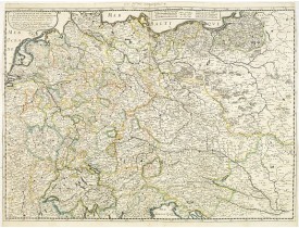
Location: 1657
Published: Paris, 1642/45-1657
Size: 405 x 557mm.
Color: In original o/l colours.
Condition: Good and dark impression. Left and right margin cut till scale border, as issued. Paper slightly age-toned but generally good.
Fine map Central Europe including Germany, Poland, Low countries, Switzerland and Austria. The map was first published by Ta..
300€
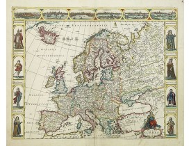
Location: 1660
Published: Amsterdam, 1660
Size: 435 x 555mm.
Color: Coloured.
Condition: Repair of split lower part centre fold 22cm into engraved area. Somewhat browned paper.
Four panels in columns on each side show portraits of Kings and Queens of European countries. The top border contains panoram..
3,000€
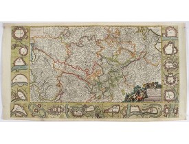
Location: 1660
Published: Amsterdam, ca. 1660
Size: 500 x 900mm.
Color: Colored
Condition: Backed on Japan paper.
Decorative map with 18 vignettes on three sides showing fortifications along the Rhine...
750€
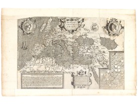
Location: 1680
Published: Paris, 1680
Size: 325 x 480mm.
Color: Uncoloured.
Condition: Cut on the neat line and in lower part into longitude scale, with extended margins to fit in composite atlas. Part in upper left and right corner cut off. Dark impression.
Copied after a map by Ortelius, but much rarer. The medallion portraits are of Romulus and Remus - the genealogical 'tree' de..
2,500€
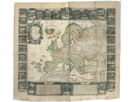
Location: 1700
Published: Paris, 1700
Size: 463 x 599 mm.
Color: In attractive original colours.
Condition: In very good. Some paper thinness on old folds. Backed with very thin Japan paper for protective reason. Paper size : 1395 x 1510mm.
[NOLIN, Jean-Baptiste / Jean-Baptiste NOLIN II - L'Europe Dressée Sur les Nouvelles observations. . . - 36889 - - [NOLIN, J..
9,500€
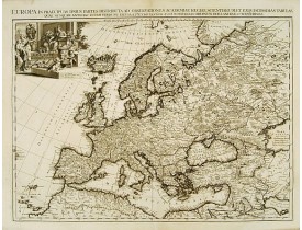
Location: 1713
Published: Amsterdam 1713
Size: 495 x 653mm.
Color: Uncoloured.
Condition: In very good condition. Dark impression.
Although not renowned for the originality of his work, Pieter van der Aa is highly thought of for the design and quality of h..
1,500€
Location: 1756
Published: Paris, 1756
Size: 473 x 583mm.
Color: In original o/l colours.
Condition: Larges mouillures dans les angles supérieurs.
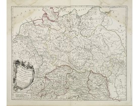
Carte de la Germanie. - A fine map of ancient Germany, Poland and the Netherlands...
30€
Location: 1762
Published: Paris, 1762
Size: 385 x 510mm.
Color: In original colours.
Condition: In good condition. Dark impression.
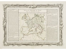
Map of ancient Roman Empire. Two distance scales.Left and right a box with geographical information for Europe.Prepared by Bu..
100€
Location: 1788
Published: Paris, Mondhare, 1788
Size: 965 x 1230mm.
Color: Original outline colours.
Condition: Printed on four sheets. Joined and mounted on canvas. Paper slightly browned. Some minor localized staining and foxing. There are some pin holes due to ancient mounting on a frame. The outlines color is slightly oxidized.
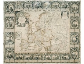
Carte murale entourée d'une superbe bordure dans le style Rococo, constituée de 20 scènes historiques décrivant l’avènement d..
3,800€
Location: 1840
Published: Paris, 1840
Size: 595 x 740 mm.
Color: Uncoloured.
Condition: Good impression, printed on heavy paper. Paper slightly toned. Repair of some, mainly marginal tears along outer center fold.
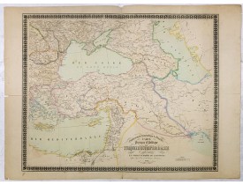
Etablissement Géographique de Bruxelles - Carte physique et politique de la Turquie d'Europe et d'Asie contenant la Syrie, u..
160€
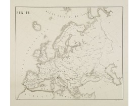
Location: 1852
Published: Paris, 1852
Size: 397 x 461mm.
Color: Uncoloured.
Condition: Good and dark image on sound paper. Professional repair of minor worm hole in the upper central part of the image. Repair of marginal tear in the lower left corner. Good margins. .
Fine manuscript map of Europe with relief shown pictorially. Signed by the author in the lower right corner.Lower left Juille..
100€
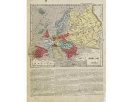
Location: 1855
Published: New York, 1855
Size: 175 x 210mm.
Color: Original colours.
Condition: Cerographic map and on verso 3 historical wood-cut engravings. Paper slightly age-toned and marginal spotting.
Map of Europe. From Sidney E. Morse's: System of Geography for the use of schools , published by Harper and brothers, 329 Pe..
20€
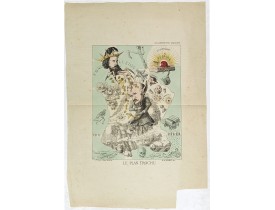
Location: 1871
Published: Paris, 1871
Size: 340 x 265mm.
Color: In original printed colours.
Condition: Original lithograph. One marginal tear just affecting a small part of in the middle left side.
Lithography showing a map of France with a caricature of General Trochu and other scenes imposed on it. Designed by the Fren..
750€
Showing 1 to 19 of 19 (1 Pages)

