Atlantic Ocean
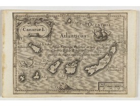
Location: 1621
Published: Amsterdam, Cloppenburch, 1621
Size: 95 x 130mm.
Color: Uncoloured.
Condition: Cut on neat line and pasted on a larger sheet.
Small map of the Canary Island. Nicolaes de Clerck (de Klerc) was active as engraver and publisher in Delft from 1599-1621.In..
115€
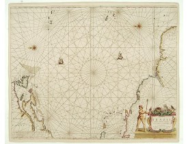
Location: 1658
Published: Amsterdam, 1658
Size: 549 x 633mm.
Color: In attactive original colours.
Condition: Paper slightly age-toned. Contemporarily laid down on paper. Very fine.
Rare chart of the Atlantic Ocean, from the first edition of Hendrick Doncker's Zee-Atlas, of which no surviving example is kn..
2,250€
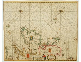
Location: 1673
Published: Amsterdam, 1673
Size: 443 x 546mm.
Color: Coloured.
Condition: On double-ply paper as issued. Paper very mildly age-toned, as usual. A good and dark impression.
An eye-catching chart of Ireland, including north of England and Scotland, with West to the top. Pieter Goos (ca. 1616-1675) ..
1,350€
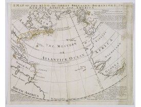
Location: 1740
Published: London, ca. 1740
Size: 375 x 440 mm.
Color: In original o/l colours.
Condition: Map has had creawses flattened out, repairs to upper border, with some MS fill in, some discolouration to right margin and map. Top margin tight. Good impression.
BOWEN, E. - A Map of the King of Great Britain's Dominions in Europe, Africa, and America. - 39515 - Atlantic Ocean - BOWEN, ..
500€
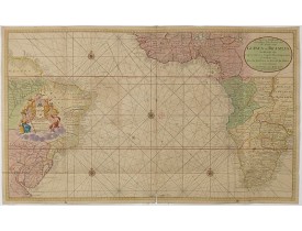
Location: 1751
Published: Amsterdam, 1751
Size: 585 x 984 mm.
Color: In attractive original colours.
Condition: Printed on two joined sheets. In very good condition. Some small wormholes and paper thinning along foldings. Paper very slightly browned.
VAN KEULEN, G. - Nieuwe Wassende Graadige Pas-kaart van de Kust van Guinea en Brasilia. - 35360 - Atlantic Ocean - VAN KEULE..
1,750€
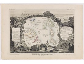
Location: 1852
Published: Paris, A. Combette, 1852
Size: 290 x 425 mm.
Color: In original o/l colours.
Condition: Very good condition. Steel engraved map in original out-line colours, the outer decoration is uncoloured, as issued.
LEVASSEUR, V. - Colonies Françaises (en Amérique). N°92. - 41188 - Atlantic Ocean - LEVASSEUR, V. - Colonies Françaises (en ..
130€
Showing 1 to 6 of 6 (1 Pages)

