Nord
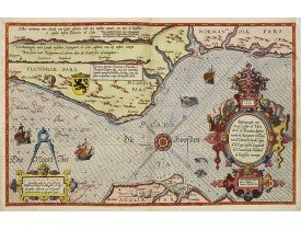
Location: 1585
Published: Leiden, Plantijn, 1585
Size: 325 x 510mm.
Color: Coloured
Condition: Papier uniformément bruni. Bonne condition générale. - Marginal discolouration and paper slightly age-toned. Else good condition.
Rare carte marine représentant les côtes de Flandre, Picardie et Normandie depuis Nieuwpoort jusqu'à Dieppe, avec le texte en..
2,500€
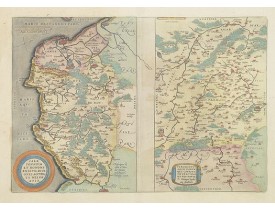
Location: 1587
Published: Anvers, 1587
Size: 335 x 480mm.
Color: In attactive original colours.
Condition: Papier légèrement jauni.
Deux cartes sur une planche. Texte français au verso. La carte du Calaisis est fondée sur la carte en 4 feuilles par Nicolas ..
250€
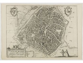
Location: 1590
Published: Anvers, 1590
Size: 230 x 315mm.
Color: Uncoloured.
Condition: In good condition.
Eye-bird view of Valenciennes...
50€
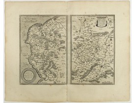
Location: 1598
Published: Anvers, 1598
Size: 342 x 468 mm.
Color: Uncoloured.
Condition: French text on verso. Two maps on one sheet. Wide margins and dark impression. In good condition.
ORTELIUS, A. - 1) Caletensivm et Bononiensivm..2) Veromandvorvm eorvmque.. - 40942 - Nord - ORTELIUS, A. - 1) Caletensivm et..
200€
Location: 1606
Published: Amsterdam, 1606
Size: 85 x 125mm.
Color: Uncoloured.
Condition: In very good condition, lightly age toned, with light water stains, all with wide margins, a nice dark impression. Latin text to verso.
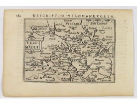
A decorative miniature map of Aisne (Vermandois), a French department in the Hauts-de-France region of northern France. It is..
100€
Location: 1606
Published: Amsterdam, 1606
Size: 85 x 125mm.
Color: Uncoloured.
Condition: In very good condition, lightly age toned, with light water stains, all with wide margins, a nice dark impression. Latin text to verso.
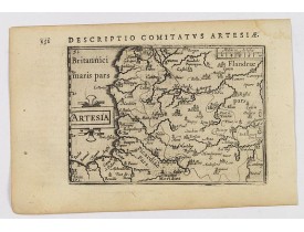
A decorative miniature map of Artois, a historical northern French province that borders Belgium. A map full of detail and i..
100€
Location: 1609
Published: Amsterdam/Frankfurt, 1609
Size: 87 x 123mm.
Color: Uncoloured.
Condition: Some marginal paper thinness.
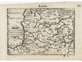
A miniature map including northern part of France. Title cartouche on the left side. First published in 1598 in his "Caert-Th..
50€
Location: 1631
Published: Amsterdam, 1631
Size: 370 x 500mm.
Color: In attactive original colours.
Condition: Slightly browned paper.
Decorative map of La Capelle in the region of the Nord-Pas-de-Calais in France with three decorative cartouches. The map of ..
200€
Location: 1631
Published: Amsterdam, 1631
Size: 350 x 500mm.
Color: In attactive original colours.
Condition: Papier légèrement bruni, quelques rousseurs.
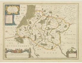
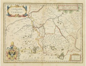
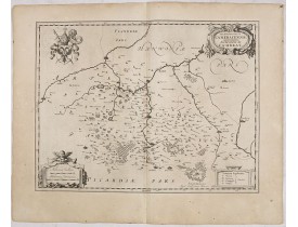
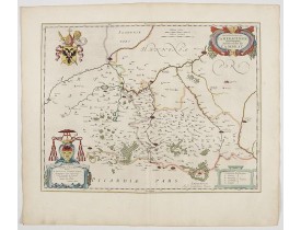
Carte de l'archevêché de Cambrai figurant les villes de Cambrai, Bouchain, Crèvecoeur, Douai. Ornée de 3 cartouches et d'armo..
200€
Location: 1634
Published: Amsterdam, 1634
Size: 381 x 500 mm.
Color: Uncoloured.
Condition: Wide margins. Good impression. Light age toning, very faint waterstaining to upper margin, and the odd spot elsewhere. Else very good. German text on verso.
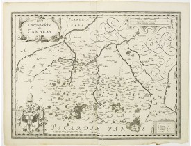
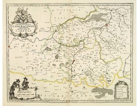
BLAEU, W. - Archiepiscopatus Cameracensis. Archevesché de Cambray. - 36059 - Nord - BLAEU, W. - Archiepiscopatus Cameracensi..
50€
Location: 1634
Published: Amsterdam, 1634
Size: 380 x 490 mm.
Color: Uncoloured.
Condition: Wide margins. Good impression. German text to verso.
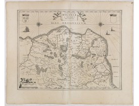
BLAEU, W. - Comitatuum Boloniae et Guines Descriptio. - 36060 - Nord - BLAEU, W. - Comitatuum Boloniae et Guines Descriptio...
80€
Location: 1640
Published: Amsterdam/Paris, ca. 1640
Size: 370 x 495mm.
Color: Uncoloured.
Condition: Bel exemplaire. Sans texte au verso.
Carte de l'Archevêché de Cambray publiée sans texte au verso vraisemblablement dans un atlas composite français. Ornée de 4 c..
120€
Location: 1640
Published: Amsterdam, Paris, 1640
Size: 387 x 496mm.
Color: In original o/l colours.
Condition: In good condition.
Map of the north of France centered on Cambrai. Three cartouches and a beautiful coat of arms decorate the corners of the map..
100€
Location: 1644
Published: Amsterdam, 1644
Size: 381 x 500 mm.
Color: In attractive strong original colours.
Condition: Paper very slghtly age toned. Generally in very good condition. French text to verso.
Very decorative map centered on Cambrai. The map is dedicated to
Francisco van der Burgh. The area looks to be sparcely pop..
200€
Location: 1806
Published: Paris, Prudhomme, Levrault, Debray, 1806
Size: 102 x 155 mm.
Color: In original o/l colours.
Condition: Belle impression. Papier légèrement jauni.
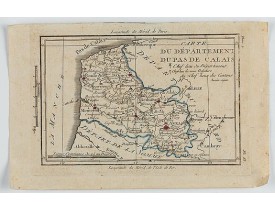
DELAPORTE, L'Abbé. - Carte du Département du Pas de Calais. - 62289 - Nord - DELAPORTE, L'Abbé. - Carte du Département du Pa..
20€
Showing 1 to 15 of 15 (1 Pages)


