Cartographic Curiosities
Location: 1590
Published: Germany, c.1590
Size: 335 x 498mm.
Color: In original colours.
Condition: 4 Pen and ink drawings with watercolour views on one sheet of paper. Paper a little brittle due to oxidation of green paint. Painted on sheet with Latin text on verso.
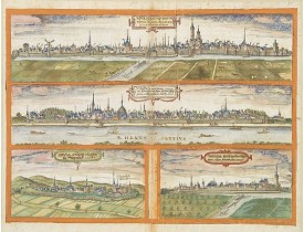
Four pen and ink with watercolour views of - Novesium vulgo Neus urbs ubiorum Rhenana Aº. Dm M.D.L.XXV ad viuum delineata. (1..
2,000€
Location: 1616
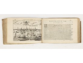
Published: Arnhem, J. Jansson, 1616
Size: 175 x 250mm.
Color: Uncoloured.
Condition: In-4 oblong de (8), 517 et (11) pp. ; plein vélin d'époque.
Variante sans la carte générale des Pays-Bas mais comportant celle de Flandre, sans la vue d'Arras mais comportant la carte d..
3,500€
Location: 1647
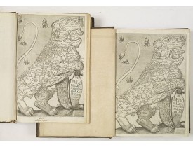
Published: Rome, Franciscus Corbelletus, 1632-1647
Size: 350 x 240mm.
Color: Uncoloured.
Condition: Two volumes in folio. Contemp. full calf, spine in compartments, richly gilt with 2 red title-labels, with boad richly gilt ornamental borders on side with large gilt central ornament of three 'fleurs de lys' (LOUIS QUATORZE PRESENTATION-BINDINGS).
With 2 engraved titles of the 'Leo Belgicus', with one paw resting on a shield bearing the title, large woodcut printer's dev..
9,000€
Location: 1705
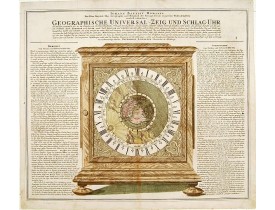
Published: Nuremberg, 1705
Size: 483 x 572mm.
Color: In attactive original colours.
Condition: In good condition.
The world centred around the North Pole is depicted on the dial of a beautiful full size mantle-piece clock with California a..
1,500€
Location: 1724
Published: Bruges, 1669 - 1724
Size: 880 x 880mm.
Color: Original colours
Condition: Huile sur toile. Diamètre : 88 cm.- Oil on canvas round. Diameter : 88 cm (34,60 in.).
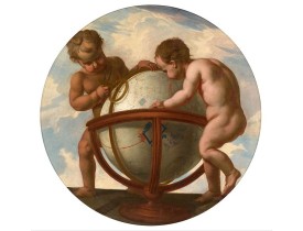
Two putty studying a terrestrial globe, one of them holding a pair of dividers. The information on the globe is clearly imagi..
8,500€
Location: 1739
Published: Paris, 1739
Size: 1230 x 1345mm.
Color: In attractive original colours.
Condition: In very good condition. Some paper thinness on old folds. A few minor holes replaced with paper, reinforcement and missing areas redrawn. Some slight discolouration of paper. Large margins.
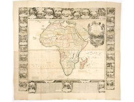
A rare and monumental wall map of Africa, with original outline colour, of four joined sheets, surrounded by text and vignett..
12,500€
Location: 1748
Published: Paris, Crépy, ca. 1748
Size: 240 x 138mm.
Color: Uncoloured.
Condition: In-8 oblong de (1) f. de titre et 35 cartes repliées ; 1/2 basane fauve, dos à nerfs orné (reliure de l'époque). Dos frotté, galerie de ver à côté de l'étiquette, galerie de ver affectant le contreplat, le feuillet blanc, la première carte et le titre. Ex-libris : J. A. Dezauche.
Atlas illustré d'un titre gravé replié, d'une carte générale et de 34 cartes particulières repliées. Les cartes réunies (y co..
2,200€
Location: 1780
Published: Napoli, ca. 1770-1780
Size: 470 x 440mm.
Color: Uncolored
Condition: Restored, reinforced and laid on Japan paper. Minor loss of paper on card 0, reinserted.
A scarce aand anonymous Tarocchi pack of cards featuring maps from the 18th Century. Engraved plate figuring 28 (of 78) cards..
2,500€
Location: 1786
Published:
Size: 249 x 384mm.
Color: Uncoloured.
Condition:
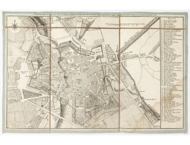
Très rare plan de la ville de Bourg-en-Bresse, publié par l’astronome Joseph-Jérôme Le François de Lalande, membre de l’Acadé..
350€
Location: 1790
Published: Ca. 1790
Size: 420 x 340mm.
Color: Uncoloured.
Condition: Portrait gravé à l'eau-forte. Papier empoussiéré, infimes rousseurs, quelques fentes en bordure restaurées, petit manque angulaire de papier en haut à gauche.
Portrait gravé figurant Henri IV de profil d'après une calligraphie de Joseph Bernard (1740-1809) . Cette gravure s'inscrit d..
80€
Location: 1794
Published: Haarlem, 1794
Size: 235 x 169mm.
Color: In original colours.
Condition: In-8. Seven parts in 3 volumes. Contemporary half calf, gilted spine with red leather spine labels with gilt lettering, marbled covers boards. Spine used. Inside very clean.
Rare illustrated publication about Europe with the title " Geheimzinnige toebereidselen tot eene boertige reis door Europa. [..
2,000€
Location: 1825
Published: Paris, 1825
Size: 440 x 645 mm.
Color: Uncoloured.
Condition: In mint condition. Wide margins etc.
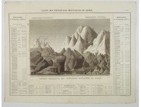
A nice detailed depiction of the principal mountains of the world from Buchon's Atlas
Gégraphique Statistique, historique e..
200€
Location: 1825
Published: Paris, 1825
Size: 455 x 635 mm.
Color: In original colours.
Condition: In mint condition. Wide margins etc.
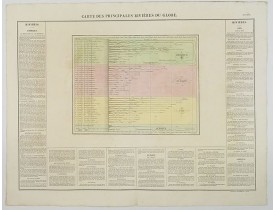
A nice detailed depiction of the principal rivers of the world from Buchon's Atlas
Gégraphique Statistique, historique et c..
200€
Location: 1853
Published: 1853
Size: 295 x 322mm.
Color: In original colours.
Condition: Chromo-lithography in mint condition, with large margins.
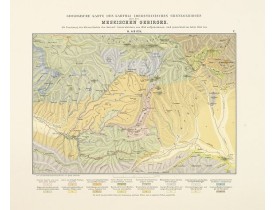
Uncommon soil or geological map" of of Meskheti Range in Caucasus.In lower part a colour key to show geological features lik..
200€
Location: 1870
Published: Paris, Imprimerie Vallée, 1870
Size: 245 x 387mm.
Color: In attactive original colours.
Condition: Original hand-coloured lithograph. With horizontal and vertical fold. In good condition.
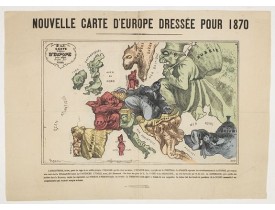
Carte d'Europe satirique pour l'année 1870 accompagnée d'un texte descriptif en bas de planche : L’ANGLETERRE, isolée, peste ..
900€
Location: 1870
Published: Lyon, ca. 1860/1870
Size: 700 x 660mm.
Color: Colored
Condition: Pièce en soie tissée de fils d’or, d’argent, bleus et ocre sur fond noir. Très bon état. Dimensions à vue de la pièce : 630 x 590 mm, avec l’encadrement : 700 x 660 mm. Cadre ancien en bois mouluré noirci et doré.
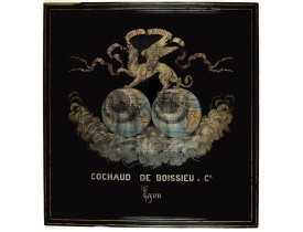
Très belle pièce de soierie lyonnaise pour et par la maison Cochaud de Boissieu & Cie figurant une mappemonde surmontée d’un ..
1,800€
Location: 1871
Published: Paris, 1870-1871
Size: 395 x 260mm.
Color: In original colours.
Condition: Some tears in the margins. Printed on thin paper. Lower left part missing (corner and part of the caption missing). Sold as is.
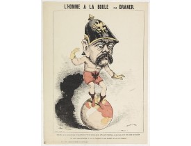
Satirical print in which Count Otto von Bismarck balances on the world with one spurred foot entering France, and wearing onl..
200€
Location: 1871
Published: Paris, 1871
Size: 340 x 265mm.
Color: In original printed colours.
Condition: Original lithograph. One marginal tear just affecting a small part of in the middle left side.
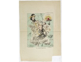
Lithography showing a map of France with a caricature of General Trochu and other scenes imposed on it. Designed by the Fren..
750€
Location: 1874
Published: Paris, 28 Quai de la Rapée, c.1874
Size: 210 x 325mm.
Color: Uncoloured.
Condition: Lithograph with text printed in red within the plate. Sheet of paper : 30,5 x 44,5 cm. Very fine to mint condition.
Scarce lithographed plate not dated, by Eugène Danzanvilliers, printed by Grandremy in Paris. The plate listed by Adhemar is ..
3,000€
Location: 1875
Published: Paris, ca. 1875
Size: 582 x 782mm.
Color: In attactive original colours.
Condition: Bel exemplaire avec de grandes marges.
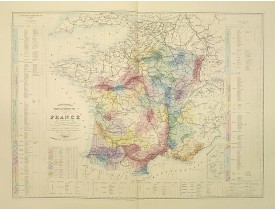
Intéressante carte vinicole de la France dressée par Massaloup Ingénieur, indiquant les principaux crûs et présentant la dist..
500€
Location: 1879
Published: Deutchland, 1879
Size: 360 x 540mm.
Color: Color printed.
Condition: Very good.
Uncommon soil or geological map of Kur, Araxes Euphrat und Djorokn region in Caucasus. In lower part a colour key to show ge..
300€
Location: 1891
Published: Switzerland, 1891
Size: 580 x 620mm.
Color: Original colors
Condition: In very good condition, some of the folds have some wear and have been repaired or re-enforced, margins in tact but very slim.
A first edition children's folding board game of Switzerland and its many places and sights to visit. Although it is missing ..
300€
Location: 1915
Published: La Zincografia, Milan, c. 1915
Size: 283 x 460mm.
Color: Uncolored
Condition: Slightly age-toned as usual.
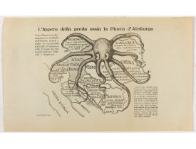
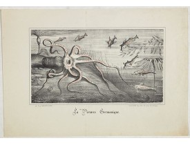
Austro-Hungarian Octopus zinc lithographed map. A propaganda sheet attacking the Austro-Hungarian Empire, showing it as an oc..
500€
Location: 1920
Published: Paris, ca. 1920
Size: 255 x 335 mm.
Color: In printed colours.
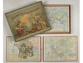
Condition: Three map puzzles, each measuring 25,5 x 35 cm., housed in the original colour printed card case. The box slightly used on the edges. Generally good.
PAULY, G. - Atlas Geographique. (Puzzle). - 45012 - Cartographic Varia - PAULY, G. - Atlas Geographique. (Puzzle). - 45012 -..
400€
Location: 1944
Published: New York, 1944
Size: 403 x 660 mm.
Color: Printed colors.
Condition: Offset printing. Published in a May, 1944 issue of Life Magazine, with text and color pictures on verso. Center fold.
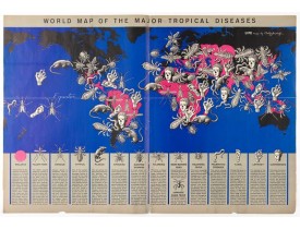
This graphic world map uses hideous imagery and vivid color to highlight the prevalence of fifteen of the world’s most common..
375€


![ANONYMOUS - Gioco Geografico dell' Europa. [An anonymous Tarocchi pack of cards featuring maps] ANONYMOUS - Gioco Geografico dell' Europa. [An anonymous Tarocchi pack of cards featuring maps]](https://www.loeb-larocque.com/eshop/image/cache/catalog/Lgimg/49004-275x210h.jpg)
![ANONYME - [Portrait d'Henri IV]. ANONYME - [Portrait d'Henri IV].](https://www.loeb-larocque.com/eshop/image/cache/catalog/image/new_upload/64997-275x210h.jpg)
![BOHN, F. - Boertige reis door Europa. . . [with] Europa volgens de nieuwste verdeeling. . . BOHN, F. - Boertige reis door Europa. . . [with] Europa volgens de nieuwste verdeeling. . .](https://www.loeb-larocque.com/eshop/image/cache/catalog/image/new_upload/32642-275x210h.jpg)
![ANONYMOUS. - [Voyage en Suisse / Reise die Schweiz.] ANONYMOUS. - [Voyage en Suisse / Reise die Schweiz.]](https://www.loeb-larocque.com/eshop/image/cache/catalog/image/new_upload/48396-275x210h.jpg)
