Folding maps
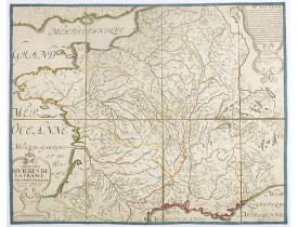
Location: 1737
Published: Paris, 1737
Size: 410 x 516mm.
Color: Uncoloured.
Condition: Good condition.
Carte figurant les rivières et les principaux bassins hydrographiques de la France, sur laquelle sont également signalés les ..
120€
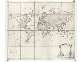
Location: 1786
Published: Paris, Robert de Vaugondy/Delamarche, 1786
Size: 985 x 1150mm.
Color: Original outline colors.
Condition: Large map dissected in 20 sheets and mounted on linen. Slightly water staining.
Large world map showing the sea tracks of Captain Cook in his three Pacific voyages published by C. F. Delamarche.Rare state ..
3,500€
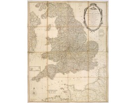
Location: 1801
Published: London, 1801
Size: 385 x 718mm.
Color: In original o/l colours.
Condition: Slight browning along centre fold with repairs of several splits, no paper missing.
Bowles's new four-sheet map of England and Wales: Comprehending all the Cities, Boroughs, Market and Sea-Port Towns, Villages..
600€
Showing 1 to 3 of 3 (1 Pages)


