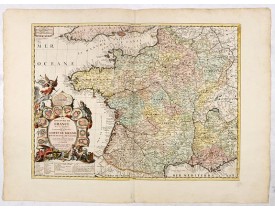
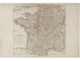
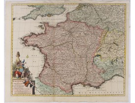
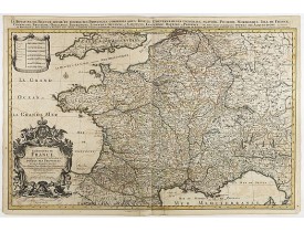
France
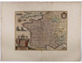
Location: 1541
Published: Vienna, Trechsel, G., 1525 -1541
Size: 308 x 410mm.
Color: Colored
Condition: Paper very little age-toned as usual. Good margins. With letter press and decorated initials on verso. Size of paper 41x55cm.
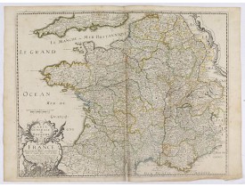
Wood block printed map and one of earliest printed representation of "Modern - France" prepared by L. Fries after Martin Wald..
1,000€
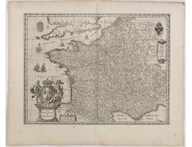
Location: 1606
Published: Amsterdam, 1606
Size: 375 x 488mm.
Color: Uncoloured.
Condition: Wide margins. A few broxwn spots. Else good condition.
Uncommon map of France.Mercator was born in Rupelmonde in Flanders and studied in Louvain under Gemma Frisius, Dutch writer, ..
150€
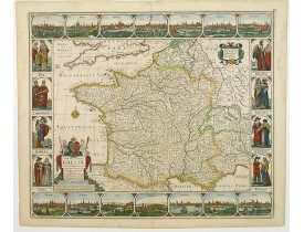
Location: 1616
Published: Amsterdam, 1616
Size: 405 x 553 mm.
Color: Coloured.
Condition: Laid down on another sheet of paper. Minor lack of paper in the right hand margin. Good and dark impression.
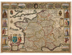
Map of France with figures on three sides with views of cities, portraits (Henri IV and Marie de Medicis) and costumes. The m..
2,500€
Location: 1625
Published: Londres, 1625
Size: 154 x 200mm.
Color: Uncoloured.
Condition: In good condition.
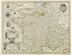
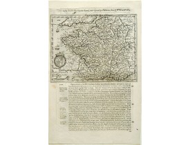
The rare Samuel Purchas' edition of the Mercator/Hondius "Atlas Minor" atlas map. Early map of France published in his famous..
200€
Location: 1626
Published: Londres, 1626
Size: 400 x 520mm.
Color: In original colours.
Condition: Bel exemplaire.
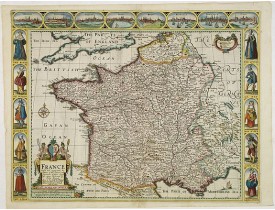
Carte-à -figures surmontée de vues de villes de France : Angiers, Poictiers, Orléans, Paris, Roan, Rochelle, Bordeaux et Cali..
1,900€
Location: 1631
Published: Amsterdam, 1631
Size: 495 x 365mm.
Color: In original colours.
Condition: Coupée au filet d'encadrement et contrecollée anciennement sur une grande feuillle de papier fort afin d'être incluse dans un atlas composite.
Très belle carte de France par H. Hondius ornée d'une rose des vents, de navires, de monstres marins, en bas à gauche d'un gr..
300€
Location: 1634
Published: Amsterdam, 1634
Size: 380 x 495 mm.
Color: Uncoloured.
Condition: A few spots both off and on the engraved surface, crease running parallel to centerfold. Dark impression, printed on heavy paper. Good condition.
BLAEU, W. - GALLIA. Le royaume de France. - 36061 - France general - BLAEU, W. - GALLIA. Le royaume de France. - 36061 - Fra..
200€
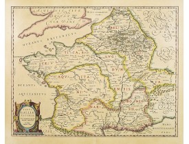
Location: 1635
Published: Amsterdam, 1635
Size: 395 x 500mm.
Color: In attactive original colours.
Condition: Split in lower part expertly repaired. Good and dark impression.
A very decorative map with countries of ancient france prepared by Abraham Ortelius and published by one of the most famous m..
300€
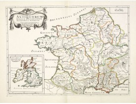
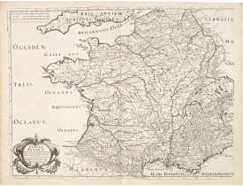
Location: 1641
Published: Paris, ca.1641
Size: 367 x 516mm.
Color: In original o/l colours.
Condition: In very good condition.
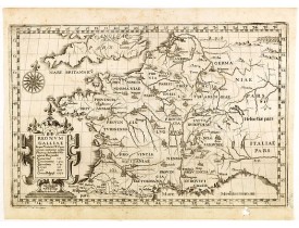
Detailed map of France during Ancient times. In lower left corner inset map of England "Antiqui magnae Britaniae Episcopatus...
100€
Location: 1643
Published: Paris, 1643
Size: 401 x 520 mm.
Color: In original o/l colours.
Condition: Fente en bas du pli central restaurée. - Paper slightly age toned. Repair of a split in lower part center fold. In original o/l colours.
SANSON, N. / TAVERNIER, M. - Carte Generale du Royaume de France. - 36763 - France general - SANSON, N. / TAVERNIER, M. - Ca..
150€
Location: 1643
Published: Paris, 1643
Size: 411 x 526mm.
Color: In original o/l colours.
Condition: Some foldings next to the center fold. Dark impression.
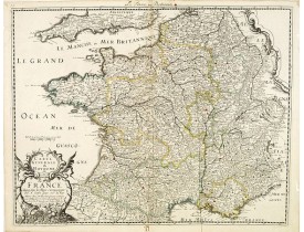
Decorative map of France with a ornamental title cartouche lower left corner. Prepared by Nicolas Sanson...
150€
Location: 1649
Published: Turin, 1649
Size: 215 x 323mm.
Color: Uncoloured.
Condition: Good and dark impression. Small hole in lower right margin filled in. Very light spotting of paper.
Map of France from the rare atlas of the Capucin order: "Chorographica descriptio provinciarum, et conventum fratrum minorum ..
150€
Location: 1650
Published: Paris, ca.1650
Size: 440 x 572mm.
Color: Uncoloured.
Condition: Split upper and lower right corner, not affecting the engraved area. Margins cut close. A good and dark impression.
Major cities, towns, waterways, mountains and islands are located. Showing southern part of Great-Britain and northern part o..
250€
Location: 1657
Published: Paris, 1641-1657
Size: 404 x 535mm.
Color: Uncoloured.
Condition: Belle impression.
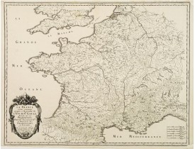
Fine map of ancient France. The map was first published by Melchior Tavernier and later by Pierre Mariette. This edition carr..
150€
Location: 1660
Published: Amsterdam, 1660
Size: 466 x 557 mm.
Color: In attactive original colours.
Condition: Paper very minor age toned. A good impression in stunning colours. Repair of 3 tears in lower margin.
Carte de France à bordures dédiée à Louis XIV. Ces bordures comprennent 14 vues de villes et 8 médaillons figurant le roi et ..
3,200€
Location: 1661
Published: Paris, N. Berey, 1661
Size: 400 x 540mm.
Color: In attactive original colours.
Condition: Légèrement froissée en son centre, pâles taches brunes dans la partie supérieure de la carte. Quelques inscriptions anciennes à la plume en bas à droite de la carte.
La Carte Generale de France et de ses nouvelles Acquisitions / Par P. Du Val. Dédiée à Messire Hierosme Bignon Con.er du Roy ..
300€
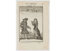
Location: 1683
Published: Paris, 1683
Size: 148 x 98mm.
Color: Uncolored
Condition: Paper slightly age toned, strong impression. In fine condition.
A charming engraving of a French couple in 17th century dress.Title in curtain draped at top. French text on verso.From the o..
50€
Location: 1683
Published: Paris, 1683
Size: 160 x 210 mm.
Color: Uncoloured.
Condition: Paper slightly age toned, strong impression. In fine condition.
A two-pages map of France.French text on verso.From the original 1683 text edition of "Description d'Univers. . ." by Allain ..
50€
Location: 1683
Published: Paris, 1683
Size: 165 x 100mm.
Color: Uncoloured.
Condition: Some very minor marginal age-toning of paper. Very good condition and imprint.
Carte de France publiée en 1683 dans l'édition en français de la "Description de l'Univers". Allain Manneson Mallet (1630-170..
30€
Location: 1683
Published: Paris, 1683
Size: 150 x 220 mm.
Color: Uncoloured.
Condition: Paper slightly age toned, strong impression. In fine condition.
A Two pages map of France.Title in curtain draped at top. French text on verso.From the original 1683 text edition of "Descri..
45€
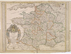
Location: 1688
Published: Paris, 1688
Size: 443 x 595mm.
Color: In original colours.
Condition: Découpée au filet d'encadrement et contrecollée anciennement sur papier fort.
Titre complet : Le Royaume de France Avec ses Acquisitions & Divisé en Gouvernemens de Provinces et Dédié à Louis le Grand, R..
300€
Location: 1689
Published: Paris, 1689
Size: 385 x 485 mm.
Color: In original o/l colours.
Condition: Paper contemporarily cut till plate mark and laid down on a larger sheet of paper. Good and dark impression.
SANSON, N. / MARRIET, P. - Gallia Vetus ex C.Julii Caesaris.. - 13057 - France - SANSON, N. / MARRIET, P. - Gallia Vetus ex ..
100€
Location: 1690
Published: Paris, ca. 1690
Size: 530 x 507 mm.
Color: In original o/l colours.
Condition: Bel exemplaire grand de marges.
Rare carte de France au titre d'actualité "La France ou l'un des douze Grands Estats de l'Europe et le plus Septentrional des..
150€
Location: 1690
Published: Amsterdam, ca. 1690
Size: 570 x 734 mm.
Color: In original colours.
Condition: Carte sur papier fort repliée en 3 volets.
VISSCHER, N. - Galliae seu Franciae tabula. - 36774 - France general - VISSCHER, N. - Galliae seu Franciae tabula. - 36774 -..
250€
Location: 1692
Published: Amsterdam, 1692
Size: 532 x 785mm.
Color: In original o/l colours.
Condition: Printed on heavy, somewhat browned paper. Some minor marginal spotting. Else a good dark impression.
Fine map of France with a decorative title and scale cartouche.Alexis-Hubert Jaillot (1632-1712), was a French cartographer. ..
500€


![FRIES, L. / WALDSEEMÜLLER, M. - [Modern France] FRIES, L. / WALDSEEMÜLLER, M. - [Modern France]](https://www.loeb-larocque.com/eshop/image/cache/catalog/image/new_upload/33876-275x210w.jpg)

![MANNESSON MALLET, A. - France par Gouvernements Generaux. [de l'Europe / Figure LXVIII] MANNESSON MALLET, A. - France par Gouvernements Generaux. [de l'Europe / Figure LXVIII]](https://www.loeb-larocque.com/eshop/image/cache/catalog/image/new_upload/38438-275x210h.jpg)

