Antilles
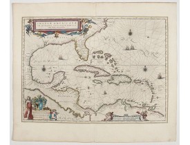
Location: 1594
Date: Frankfurt, 1594
Format: 329 x 437 mm.
Color: Noir et blanc.
Condition: Lower margin cut and shaving the lower border, now professionally remargined and border partly re-drawn. Very good impression and condition.
The most beautifully engraved early map of the Caribbean, including Florida and the Southeast, includes representations of Co..
7 000€
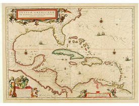
Location: 1644
Date: Amsterdam, 1644
Format: 378 x 518mm.
Color: In attractive strong original colours.
Condition: Generally in very good condition. A good and dark impression. French text on verso.
General map of the West Indies extending from Virginia to the mouth of the Orinoco, and destined to be copied in various shap..
2 500€
Location: 1647
Date: Amsterdam, 1647
Format: 378 x 518mm.
Color: Beau col. ancien.
Condition: Papier légèrement bruni. Bel exemplaire. - Paper very slightly age-toned, generally in very good condition. In original colours.
Représente le Golfe du Mexique avec la Floride, les Antilles avec Cuba ainsi que le Yucatan, le Nicaragua et le Vénézuela. Un..
2 000€
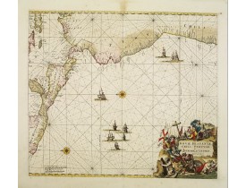
Location: 1675
Date: Amsterdam, 1675
Format: 486 x 560mm.
Color: Beau col. ancien.
Condition: In very attractive original colours. Laid down on canvas for protective reasons.
A superbly decorative chart , oriented with north to the left of the sheet, covering the coasts of Central America, Peru, Ch..
1 100€
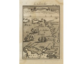
Location: 1684
Date: Frankfurt, 1684
Format: 148 x 103mm.
Color: Noir et blanc.
Condition: Heavy water staining on left half of engraved area.
Very handsome map of the Caribbean, extending to include the shores of South America. The map is inserted in a prospective vi..
80€
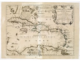
Location: 1724
Date: Paris, ca. 1724
Format: 445 x 594mm.
Color: Limites en col. ancien.
Condition: Good margins. Old repair of small split lower part center fold. Paper very slightly browned, good and dark impression.
Scarce map of Caribbean. A visually stunning map with a large title cartouche. This large one-sheet map was produced by the V..
1 200€
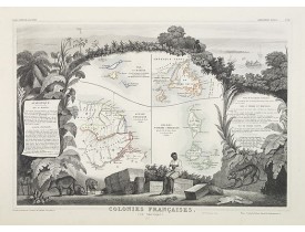
Location: 1852
Date: Paris, A. Combette, 1852
Format: 290 x 425mm.
Color: Limites en col. ancien.
Condition: Very good condition. Steel engraved map in original out-line colours, the outer decoration is uncoloured, as issued.
Carte des anciennes colonies françaises en Amérique. Jeune ingénieur géographe du milieu du XIXe siècle, Victor Levasseur est..
80€
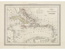
Location: 1857
Date: Turin, 1857
Format: 220 x 303mm.
Color: Limites en col. ancien.
Condition: Lithography. Some very light age-toning along one vertical fold. Overall in good condition.
Uncommon Italian map of Caribbean. Map is in outlined colour. Many Indian names and settlements. From Geografia Storica and ..
50€
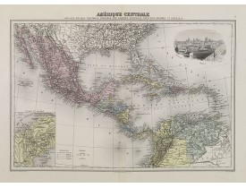
Location: 1874
Date: Paris, 1874
Format: 275 x 400mm.
Color: Col. ancien.
Condition: Steel engraving in mint condition.
Decorative map of Central America from Géographie Universelle, Atlas Migeon. With an inset map of the Panama isthmus lower le..
60€
Affichage 1 à 9 de 9 (1 Pages)


