Cambodia - Laos - Thailand - Vietnam
Location: 1667
Published: Paris, P. Mariette, 1667
Size: 190 x 250mm.
Color: In original o/l colours.
Condition: Paper slightly age toned. Some very light water staining and spotting.
Two maps together on one sheet : to the left a map of Thailand and to the right the Malaysian peninsula prepared by N.Sanson..
400€
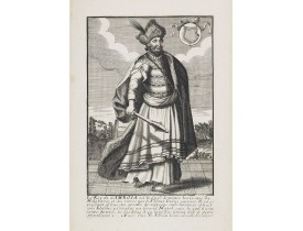
Location: 1685
Published: Paris, ca. 1685
Size: 270 x 170mm.
Color: Uncoloured.
Condition: Good and dark impression.
Very rare and decorative costume plate. Underneath the plate a descriptive text in French.Bears the address : A Paris chez F...
200€
Location: 1703
Published: Paris, 1703
Size: 225 x 316mm.
Color: In original o/l colours.
Condition: Infimes rousseurs. - Paper slightly age-toned as usual, lightly brown spotting. In original o/l colours.
Detailed map on India, Thailand, the Malay Peninsular and the south coast of China up to Macao. The map was engraved by C. In..
300€
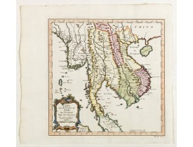
Location: 1750
Published: Paris, 1750
Size: 275 x 272mm.
Color: Coloured
Condition: In very good condition.
Map of Siam, du Tunquin, Pegu, Ava, Aracan. Across the top is an extensive list of 22 important sites and locations keyed to ..
400€
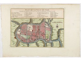
Location: 1750
Published: Paris, 1750
Size: 192 x 263mm.
Color: Coloured
Condition: In very good condition.
Early plan of Siam, Thailand. Across the top is an extensive list of 22 important sites and locations keyed to the plan with ..
350€
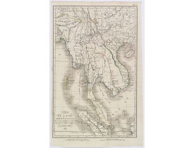
Location: 1821
Published: Paris, ca 1821
Size: 390 x 250mm.
Color: In original o/l colours.
Condition: In good condition, lightly age toned, some margins slim.
A fine map of south east Asia which appeared in Tardieu's "Atlas pour Servir a l'Intelligence de l'Histoire Generale des Voya..
150€
Location: 1830
Published: Paris, ca 1830
Size: 440 x 595 mm.
Color: Uncoloured.
Condition: Near mint condition. Some faint browning. Good margins. Printed on strong paper. Dark impression.
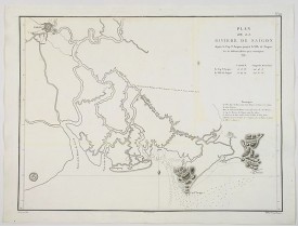
DEPOT GENERAL DE LA MARINE. - Plan de la Riviere de Saigon depuis le cap St. Jacques jusqu'a la Ville de Saigon. - 44598 - C..
650€
Location: 1852
Published: London, 1852
Size: 655 x 985mm.
Color: Uncoloured.
Condition: In good general condition.
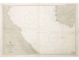
A highly corrected version of Admiralty chart 3989 originally published 11 Mai 1962 under the Superintendence of Captain EG I..
80€
Location: 1860
Published: St Joseph 1860
Size: 890 x 900 mm.
Color: Uncoloured.
Condition: Good condition. Folds. Some paper thinning on crossing of folds.
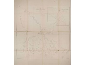
LESPES - Plan de la riviere de Saigon et de ses affluents. . . - 30647 - Cambodia - Laos - Thailand - Vietnam - LESPES - Pla..
700€
Location: 1878
Published: 1866 et 1873, tirage vers 1878
Size: Folio.
Color: Uncoloured
Condition: 26 photographies par Emile Gsell d'après des négatifs au collodion, épreuves sur papier albuminé contrecollées sur carton et 13 autres photographies anonymes de la même période. Certaines sont un peu jaunies, rousseurs affectant les cartons.
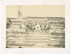
VOYAGE A ANGKOR. - Collection constituée de 26 photographies par Emile Gsell, 13 autres photographies, 2 fascicules concernan..
25,000€
Location: 1892
Published: C. 1892
Size: 270 x 350mm.
Color: Uncolored
Condition: Oblong 4to album, boards ( disbound ) covered with Chinese floral cloth (faded), comprising 104 photographs of varying dimensions, albumen prints, mounted on cardboard (some detached and/or damaged), presented in plastic sleeves. Album damaged, soiled, rubbed, faded, 2 covers separated. Photographs a little faded, some cardboards damp staining. [caption reads: “Voyage de Bangkok à Pnompenh/Mars 1892”].
Very interesting photo album including a photograph of “the King of Korea and his son” reproduced in Charles Varat Voyage en ..
13,500€
Location: 1920
Published: Saigon, Librairie Brunet. c.1920
Size: 2650 x 215mm.
Color: In original printed colours.
Condition: In good condition.
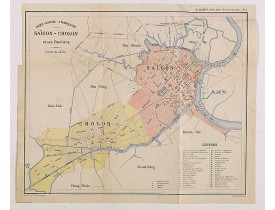
Charming plan of Saïgon at a scale of 1:40.000. Vietnam was a French colony from 1862 to 1954.Prepared by R.Brissaud and publ..
175€
Location: 1920
Published: Saigon, Librairie Brunet. c.1920
Size: 2650 x 215mm.
Color: In original printed colours.
Condition: In good condition.
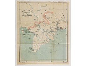
Charming map of the southern third of current Vietnam whose principal city is Saigon or Prey Nokor in Khmer. It was a French ..
130€
Location: 1934
Published: Paris, ca 1934
Size: 1010 x 750mm.
Color: Color printed
Condition: Backed on linen. Restored losses. In general good condition.
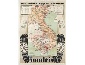
Advertising poster for the brand Goodrich, showing a map of Indochina.Goodrich Corporation is a former American company speci..
1,650€
Location: 1937
Published: Hanoï, 1937
Size: 840 x 600 mm.
Color: In printed colours.
Condition: Offset. Fine condition. Several folds as issued. Repaired tear at upper part center fold 3 cm into image. Size of the sheet : 745 x 535 mm.
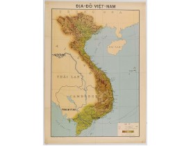
SERVICE GÉOGRAPHIQUE DE L'INDOCHINE. - Carte économique de l'Indochine. - 45664 - Cambodia - Laos - Thailand - Vietnam - SER..
400€
Location: 1939
Published: Février 1939
Size: 530 x 482mm.
Color: Uncoloured.
Condition: Carte héliogravée imprimée en couleurs. Papier partiellement froissé. Cachet d'appartenance : Paul Fallot professeur au Collège de France.
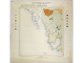
Carte de l'Indochine Feuille N°16. Couvre la région depuis Paknam (Thailande) jusquà la baie de Kompong-Som (Cambodge). De pa..
120€
Location: 1948
Published: Saigon, 1948
Size: 570 x 900mm.
Color: Printed colors.
Condition: Letter press with wood block print. Dark impression on large sheet. Some paper thinhing and discoloration along the folds. Generally in good condition, for such a publicity item. Linen backed.
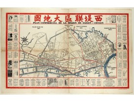
Decorative publicity plan of Ho Chi Minh City, also known by its former name of Saigon and Cholon, prepared by Ngo-Trinh, sur..
2,500€
Location: 1967
Published: Washington D.C., 1967
Size: 550 x 1190mm.
Color: Coloured.
Condition: In very good condition. Folds. Lightly age toned and with one place of slight foxing only.
A large aerial US Army map of a portion of Vietnam, taken during the war between the two countries. As you might expect the m..
150€
Showing 1 to 18 of 18 (1 Pages)

![SANSON, N. - Partie de l'Inde au dela du Gange. . . [and] Presqu'Isle de l'Inde. . . SANSON, N. - Partie de l'Inde au dela du Gange. . . [and] Presqu'Isle de l'Inde. . .](https://www.loeb-larocque.com/eshop/image/cache/catalog/image/new_upload/25246-275x210w.jpg)

![US NAVAL OCEANOGRAPHIC OFFICE. - [US Army map of a part of Vietnam.] US NAVAL OCEANOGRAPHIC OFFICE. - [US Army map of a part of Vietnam.]](https://www.loeb-larocque.com/eshop/image/cache/catalog/image/new_upload/44790-275x210w.jpg)