Afrique centrale
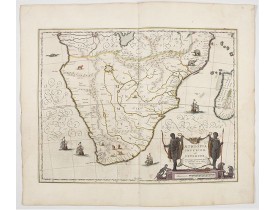
Location: 1644
Date: Amsterdam, 1644
Format: 380 x 495mm.
Color: Beau col. d'époque.
Condition: A fine example in attractive colours.
The standard map of South Africa throughout the 17th century. The lake out of which the 'Zambere' -the Zambesi- flows is prob..
1 000€
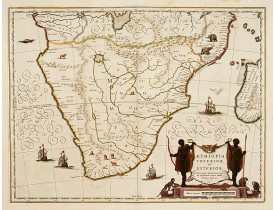
Location: 1645
Date: Amsterdam, 1645
Format: 378 x 496mm.
Color: Beau col. ancien.
Condition: A fine copy in attractive colours. Very slight water staining in upper margin hardly affecting the engraved area.
The standard map of South Africa throughout the 17th century. The lake out of which the 'Zambere' -the Zambesi- flows is prob..
750€
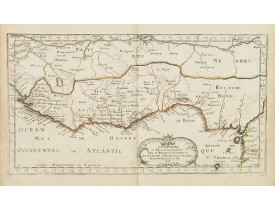
Location: 1667
Date: Paris, P. Mariette, 1667
Format: 165 x 305mm.
Color: Limites en col. ancien.
Condition: Paper age toned. Dark impression.
Map of Guinea and Africa's Gold coast prepared by N.Sanson and published by Pierre Mariette.Published in an early edition of..
100€
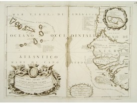
Location: 1690
Date: Venice 1690
Format: 455 x 605mm.
Color: Noir et blanc.
Condition: In very good condition.
Double-page engraved map of the Cape Verde Islands and part of the coast of Senegal, with large decorative cartouche. One wit..
1 200€
Location: 1707
Date: Paris, August 1707
Format: 490 x 615mm.
Color: Limites en col. ancien.
Condition: Belle impression. Mouillure en partie inférieure de la carte.
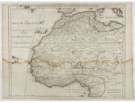
Carte gravée détaillée du nord-ouest de l'Afrique, y compris les îles Canaries et du Cap-Vert. Gravé par Inselin. Changement ..
150€
Location: 1783
Date: Paris ca 1783
Format: 433 x 315mm.
Color: In attractive original body colours.
Condition: Slight discolouration along centerfold. Printed on heavy paper, with good margins. Good impression. Good condition.
Attractive map of the African coast around the Gulf of Guinea, encompassing the area between Ghana and Angola. Boundaries out..
150€
Affichage 1 à 6 de 6 (1 Pages)

![LATTRÉ, J. / BONNE, R. - [No title] Central Africa. LATTRÉ, J. / BONNE, R. - [No title] Central Africa.](https://www.loeb-larocque.com/eshop/image/cache/catalog/image/new_upload/24255-275x210h.jpg)