Amérique du Nort général
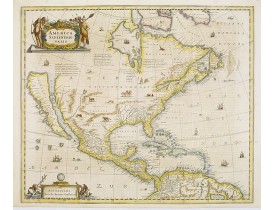
Location: 1647
Date: Amsterdam, 1647
Format: 464 x 550mm.
Color: Col. d'époque.
Condition: Some minor shinetrue of text. Paper very slightly age-toned. Repair of split lower part center fold, 2cm. into engraved area. In very good condition.
Showing California as an island, and above, the north west of the continent left blank except for two legends explaining the ..
3 000€
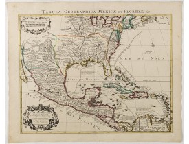
Location: 1722
Date: Amsterdam, 1722
Format: 468 x 600 mm.
Color: Limites en col. ancien.
Condition: A good and dark impression. Printed on heavy paper. Mint.
A Dutch edition of De L'Isle's map. It was the first printed map to accurately portray the course and mouth of the Mississipp..
1 200€
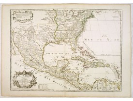
Location: 1783
Date: Paris, 1783
Format: 476 x 650mm.
Color: Limites en col. ancien.
Condition: Very good condition.
A later edition of De l'Isle's foundation map of 1703, widely regarded as one of the most influential maps in the history of ..
1 250€
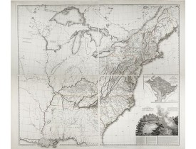
Location: 1802
Date: Paris: An XI - 1802
Format: 1070 x 800mm.
Color: Noir et blanc.
Condition: Four map sheets, together measuring 1070 x 800mm.
FIRST EDITION. A fine map including vignettes of Niagara Falls and a plan of Washington, D.C. Tardieu's map is a direct copy ..
7 500€
Location: 1867
Date: Weimar, 1867
Format: 600 x 507mm.
Color: Limites en col. ancien.
Condition: Paper slightly age toned. Good margins. Overall good condition.
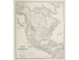
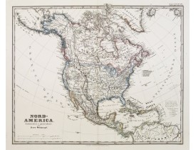
A superbly engraved and colored map of North America and the West Indies with a host of place names and meticulously rendered..
100€
Location: 1872
Date: Gotha, 1872
Format: 312 x 387mm.
Color: Limites en col. ancien.
Condition: A good and dark impression. Good margins. Minor marginal spotting, hardly noticeable. Very good condition.
Large and detailed steel engraving showing North and Central America as well as the Caribbean.Published in Stieler's Hand Atl..
150€
Affichage 1 à 6 de 6 (1 Pages)

