Atlases
Location: 1669
Published: Paris, l'Auteur, s.d., ca.1669
Size: 210 x 290mm.
Color: Uncolored
Condition: In-8 oblong ; veau brun (reliure de l'époque restaurée).Traces de mouillures sur le contreplat. Exemplaire frais intérieurement malgré d'infimes trous de vers marginaux n'affectant pas les cartes. - 3 parts in one. 8vo oblong, contemp. Brown calf. Binding used. Small marginal wormholes not affecting the maps, otherwise maps in very good condition. The general title "Diverses cartes et tables… is lacking.
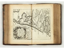
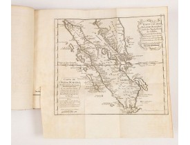
A rare atlas in three parts. Including a fine map of China, Taiwan and Korea "Carte du voyage des Ambassadeurs de la Compagni..
7,000€
Location: 1672
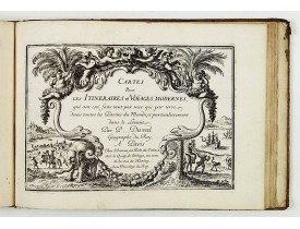
Published: Paris, P. Duval, ca. 1667-1672
Size: 142 x 90mm.
Color: Uncoloured.
Condition: Contemp. brown calf with gilt raised spine. 4 parts in 1 vol. Paris: P. Duval around 1667-72. 13.5 x 8.3 cm. With additional 5 double page engraved titles, 43 maps and 28 double engraved text sheets. Partly slight marginal tears, minor signs of wear and a little age-spotted in the 4th volume are missing the panels of the province of Artois and Franche comté.
Compilation of Duval's Pocket Atlas, with an archbishoprics and dioceses description of the world, here right at the beginnin..
3,000€
Location: 1734
Published: Venice, 1734
Size: 200 x 130 mm.
Color: Uncoloured.
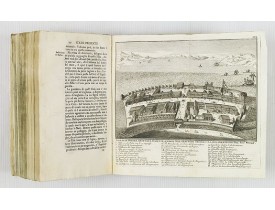
Condition: 8vo. Contemp. vellum. 512pp. Illustrated with 4 plates including one with Japanese people. 1 folding view of Deshima and two folding maps of Japan and the Philippines with Italian text after I. Tirion.
This most uncommon work provides an interesting focus on the dissemination of the outline of Japan provided by Kaempfer. Besi..
1,000€
Location: 1742
Published: Paris, 1742
Size: 170 x 100mm.
Color: Uncoloured.
Condition: Printed title, 252pp. Good condition.
Third edition, Voume I, second part containing "Catalogue des meilleures cartes geographiques", starting with a list of globe..
375€
Location: 1748
Published: Augsbourg, 1748
Size: 205 x 170mm.
Color: In attractive original colours.
Condition: Contemp. half calf spine with gilt label. Fronti, title page,pp. 12,9,cxixi; 368;3,30 double page maps414,7,140, table 19pp. illustrated with 17 folding maps, 556,10pp.
A rare manual and containing geographical descriptions of all continents. Illustrated with 30 very finely engraved and colour..
6,000€
Location: 1750
Published: Delft, 1712-1750
Size: 580 x 430mm.
Color: Uncoloured
Condition: Large-folio. Cont. mottled calf with raised bands, richly decorated. gilt back, gilt lettering 'Delfland' on both sides, surrounded by 2 gilt decorated. borders. Engraved title in 2 parts, engr. general map (2nd, altered edition, dated 1750) 25 numbered maps.
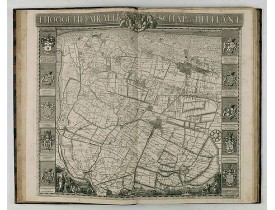
The so-called Kruquius map is a wall-map of the Delfland water board district. The map consists of 25 engraved map sheets. Se..
4,500€
Location: 1760
Published: Ballard, Paris, 1760
Size: 97 x 60mm.
Color: In attactive original colours.
Condition: In-16. 1 volume in 16 relié en plein maroquin rouge, dos à nerfs fleurdelysé, plats richement ornés. Bel exemplaire entièrement gravé et illustré d’un frontispice, 1 titre, catalogue 2ff., avertissement 1 ff. et 26 cartes sur double page rehaussées en couleur.
Les cartes, gravées par Durand et Le Roy, portent toutes le nom de l’auteur et ont été réduites par Giovanni Antonio Battista..
2,200€
Location: 1763
Published: Amsterdam, Leipzig, 1763
Size: 242 x 283 mm.
Color: Uncoloured
Condition: (2pp), title page with engraved vignette, table of contents, 630pp, (2pp), 9 fold-out maps (cpl.), contemporary full calf leather binding with ribbed spine with floral motif, and a mention of title and volume, red edges.<br />Paper very slightly browned,
Volume 21 of this informative publication with a description of the discoveries, conquests, and settlements by the Portuguese..
1,100€
Location: 1763
Published: Paris, Savoye, Despilly, Duchesne, Dessaint et Saillant, Guillyn, Grange et Dufour, et l'Auteur, 1763
Size: 275 x 215mm.
Color: Uncoloured.
Condition: In-4 de VIII-XXXIV-122-XII pp. et (1) f. ; titre gravé, une planche à double page et 25 cartes aquarellées à double-page ; demi-veau fauve, dos à cinq nerfs orné de roulettes dorées, étiquette de maroquin rouge, tranches rouges. Plats recouverts de papier (reliure restaurée). Les pp. 21 à 24 reliées après la p. 28, 2 cahiers numérotés 97 à 100 mais avec un autre texte, les pp. 105 à 108 n'existent pas mais pas de manque dans le texte.
Illustré d'un titre gravé à double-page, d'une planche gravée à double-page (Statue Equestre de Louis le bien Aimé) et de 25 ..
1,200€
Location: 1771
Published: London, S. Crowder and S. Gamidge, 1771
Size: 310 x 200mm.
Color: Uncoloured.
Condition: [iii], 48 p., [8], 64pp. many leaves of have engraved plates, illustrated with : ill., 7 maps. ; 31 cm (fo.). Third edition.
Two works bound together. Small folio. (c.30 x 20 cm). 2ll.+pp.48; 2ll.+64. Bound in modern half calf over marbled boards, re..
1,750€
Location: 1778
Published: Amsterdam 1778
Size: 210 x 120mm.
Color: In original o/l colours.
Condition: Contemp. half, spine ribbed and gilted. Frontispiece, title page, 202pp. description in Dutch of all countries, Empires, index and 42 folding maps.
Second edition of this charming travel compendium which is becoming rather scare now-a-days.Illustrated with a charming front..
2,750€
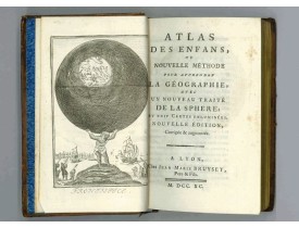
Location: 1790
Published: Lyon, Bruyset Père & Fils, 1790
Size: 130 x 170mm.
Color: In original colours.
Condition: Small 8vo. Contemporary brown calf.
Atlas for the children with 24 maps of the World and continents and maps of European countries. Size of the maps: 13x17cm siz..
700€
Location: 1816
Published: Paris, Desray, 1816
Size: 690 x 520mm.
Color: In attractive original o/l colours.
Condition: Large folio (69 x 52 cm), contemp. half-calf, spine damaged. Containing 8 general one-sheet maps, and 8 detailed four-sheet maps. Printed on heavy paper.
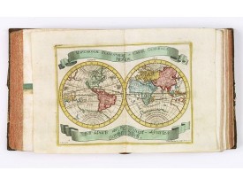
Large folio atlas containing 8 general one-sheet maps, and 8 detailed four-sheet maps: Containing2 World maps- "Mappe-monde s..
5,750€
Location: 1822
Published: Paris, 1776-1822
Size: 710 x 540 mm.
Color: In original o/l colours.
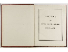
Condition: Grand in-folio de (2) ff. et 47 cartes. Demi maroquin rouge, dos plat orné d'ancres, de fleurs de lys et de liserés dorés, plats recouverts de papier maroquiné rouge, dentelle encadrant les plats. Plats, coins et coiffes frottés, coupes inf. abîmées (reliure de l'époque).<br>1 f. n. ch. Page de titre. Table des Cartes et Plans. 39 et annonce manuscrite de 5 cartes supplémentaires.
DÉPÔT DES CARTES ET PLANS DE LA MARINE. - Neptune des Côtes Occidentales de France. - 00004 - Atlases - DÉPÔT DES CARTES ET ..
12,000€
Location: 1827
Published: Paris, Thiériot, 1827
Size: 150 x 100 mm.
Color: Uncoloured.
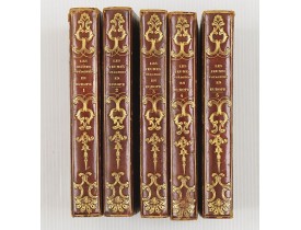
Condition: 5 volumes in half marocco, spine richly gitted. Pages a very little browned, and binding a little bit rubbed, but generally in very good condition.
BRIAND, P.-C. - Les jeunes voyageurs en Europe, ou description raisonnée des divers pays compris dans cette partie du monde...
1,000€
Location: 1890
Published: France, ca. 1890
Size: 8 oblong
Color: In original colours.
Condition: In-8 oblong de 8 pl. ; demi-bradel rouge à coins.
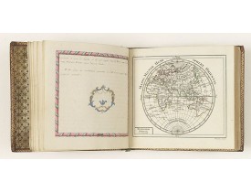
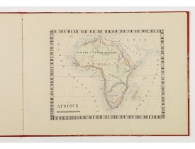
Charmant atlas manuscrit illustré de 8 cartes et un trompe-l'œil finement coloriés à l'époque, représentant un planisphère, l..
1,500€
Location: 1735
Published: Paris, P. G. Le Mercier, 1735
Size: 430 x 280mm.
Color: Uncolored
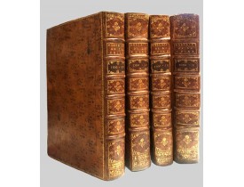
Condition: 4 volumes folio ; (2) leaves, viij-lij-iv-592 pp. — (2) leaves, iv-725 pp. — (2) leaves, iv-564-(2) pp. — (2) leaves, ij-520 pp. Contemporary calf, spines divided in compartments by six raised bands, contrasting red morocco labels in two, others richly gilt with floral tools, leaf sprays, etc., sides ruled in gilt with three-line fillet, marbled endpapers, red edges. With 65 maps and plates (all but one double-page or folding); titles in red and black incorporating engraved pictorial vignette by Baquoy after Humblot; with all half-titles; woodcut head- and tailpieces, typographic ornaments, historiated and decorative initials.
First edition of this cornerstone of any collection of books on China, which is also among the rarest and most desirable of i..
30,000€
Showing 1 to 17 of 17 (1 Pages)

