Greece
Location: 1540
Published: Rome, c. 1540
Size: 300 x 440mm.
Color: Uncolored
Condition: Two small cracks at bottom of the map with lightly browned spots due to old restorations with adhesive paper, a few tiny scattered wormholes. Good and dark impression.
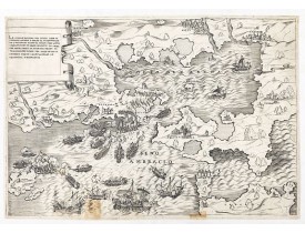
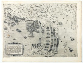
The title cartouche at the top left reads: "La Dimostratione Del Luogo Dove Al Presente Sitrova L'Armat Di Barbarossa, et De ..
7,500€
Location: 1572
Published: Rome, 1572
Size: 350 x 480mm.
Color: Uncolored
Condition: Original folds, good and dark impression. A small brown spot at left part on "Prodano". Excellent condition.
Disegno dove al presente si ritrova l'armata della santa legha contro la Turchesca, nel promontorio della Morea dirincontro a..
8,000€
Location: 1598
Published: Antwerp, 1598
Size: 360 x 500 mm.
Color: Uncoloured.
Condition: Wide margins and dark impression. In good condition. French text on the verso.
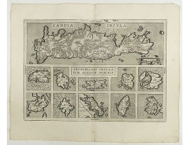
ORTELIUS, A. - Archipelagi Insularum Aliquot Descrip. - 41037 - Greece - ORTELIUS, A. - Archipelagi Insularum Aliquot Descri..
350€
Location: 1640
Published: Paris, ca. 1640
Size: 320 x 489mm.
Color: In original o/l colours.
Condition: Paper slightly age toned. Good condition.
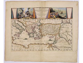
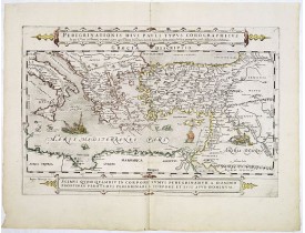
A beautifully executed and very rare map showing the peregrinations of St. Paul in the Eastern Mediterranean. The Mediterrane..
2,500€
Location: 1645
Published: Venice, c. 1645
Size: 705 x 455mm.
Color: Uncolored
Condition: Printed from two copperplates on two sheets joined and mounted on strong paper. Cut out along the neatline. Slightly browning along center fold. A good and dark impression.
Map engraved by Marco Boschini (1613-1678). With a lettered key for the Turkish army « A-L » and a numbered key for the ci..
6,000€
Location: 1650
Published: Amsterdam, 1650
Size: 415 x 545mm.
Color: In attactive original colours.
Condition: Paper slightly age-toned. Repair of split along centerfold.
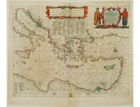
Very decorative chart of Mediterranean. Decorative title cartouche on the upper right corner...
2,400€
Location: 1650
Published: Amsterdam, 1650
Size: 360 x 503mm.
Color: In attractive strong original colours.
Condition: On strong, thick double ply paper, centerfold separated and has been repaired, together with complete lower margin. Assorted marginal marks, stains etc. Condition good overall.<br /> Latin text on verso.
A striking map of the Mediterranean Sea and its surrounding areas. It depicts the travels of the Apostle St. Paul.The pair of..
700€
Location: 1651
Published: Venice, c. 1645-1651
Size: 330 x 820mm.
Color: Uncoloured.
Condition: Margins cut short, contemp. pasted on a larger sheet. Very good condition.
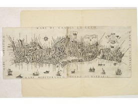
This rare map is based on the important map of Crete by Basilicata. The maps by Marco Boschini reached a wider audience than ..
5,500€
Location: 1669
Published: Nuremberg, c. 1669
Size: 457 x 550mm.
Color: 1
Condition: Cut on upper and lower neat line and remargined. Dark impression. In very good condition.
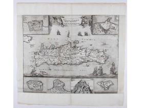
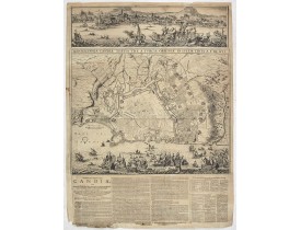
An earlier and smaller version of De Wit's map of Candia. Richly engraved work, one of the most beautiful ever produced of Cr..
2,250€
Location: 1680
Published: Amsterdam, 1680
Size: 665 x 485 mm.
Color: Uncoloured.
Condition: Broadsheet plan and prospect of Heraklion printed from two different plates and added text on bottom in German. Missing parts to bottom text. Paper slightly browned.
DE WIT, F. - Ignographia candiae tertia a turcis obsessae in lucem edita a F. de Wit. - 44853 - Greece - DE WIT, F. - Ignogr..
3,000€
Location: 1745
Published: Amsterdam c. 1745
Size: 450 x 593mm.
Color: Original o/l colour.
Condition: Printed on heavy paper, slightly age-toned as usual. Good impression. Very good condition
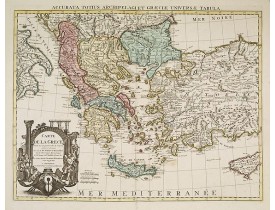
Detailed copper-engraved map of Greece with its neighboring countries, including southern Italy and part of Cyprus. Relief sh..
300€
Location: 1858
Published: Genova, Paolo Rivara fu Giacomo, 1858
Size: 265 x 330 mm.
Color: In original o/l colours.
Condition: Printed on thick paper. Some foxing. Good margins.
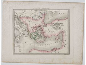
MARMOCCHI, F. C. - Bacino del Mediterraneo ( Parte orientale) . . . - 45332 - Greece - MARMOCCHI, F. C. - Bacino del Mediter..
50€
Showing 1 to 12 of 12 (1 Pages)

![BOSCHINI, Marco. - [Map of the coast of Crete to the east of Chania showing the landing of the Turks and the Venetian defence in June 1645]. BOSCHINI, Marco. - [Map of the coast of Crete to the east of Chania showing the landing of the Turks and the Venetian defence in June 1645].](https://www.loeb-larocque.com/eshop/image/cache/catalog/image/new_upload/49076-275x210h.jpg)
