Océan atlantique
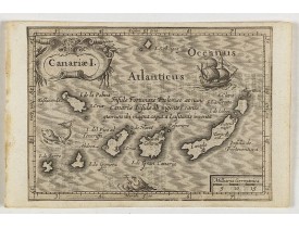
Location: 1621
Date: Amsterdam, Cloppenburch, 1621
Format: 95 x 130mm.
Color: Noir et blanc.
Condition: Cut on neat line and pasted on a larger sheet.
Small map of the Canary Island. Nicolaes de Clerck (de Klerc) was active as engraver and publisher in Delft from 1599-1621.In..
115€
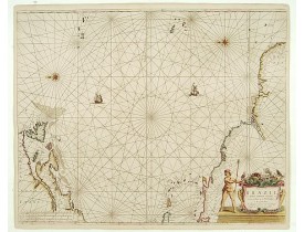
Location: 1658
Date: Amsterdam, 1658
Format: 549 x 633mm.
Color: Beau col. ancien.
Condition: Papier légèrement jauni. Contrecollé sur papier à l'origine. Bel exemplaire.
Rare chart of the Atlantic Ocean, from the first edition of Hendrick Doncker's Zee-Atlas, of which no surviving example is kn..
2 250€
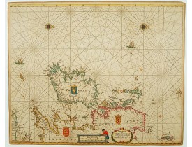
Location: 1673
Date: Amsterdam, 1673
Format: 443 x 546mm.
Color: Col.
Condition: On double-ply paper as issued. Paper very mildly age-toned, as usual. A good and dark impression.
An eye-catching chart of Ireland, including north of England and Scotland, with West to the top. Pieter Goos (ca. 1616-1675) ..
1 350€
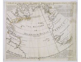
Location: 1740
Date: London, ca. 1740
Format: 375 x 440 mm.
Color: Limites en col. ancien.
Condition: Map has had creawses flattened out, repairs to upper border, with some MS fill in, some discolouration to right margin and map. Top margin tight. Good impression.
An extremely rare map of Great Britain's empirical reaches in the mid 18th century on a curious circular projection. Map show..
500€
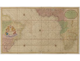
Location: 1751
Date: Amsterdam, 1751
Format: 585 x 984 mm.
Color: Beau col. ancien.
Condition: Printed on two joined sheets. In very good condition. Some small wormholes and paper thinning along foldings. Paper very slightly browned.
Rare two sheet sea chart of the coasts of Brazil, West Africa and South Africa, published by Johannes Van Keulen (the younger..
1 750€
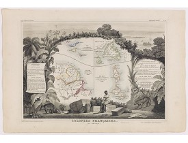
Location: 1852
Date: Paris, A. Combette, 1852
Format: 290 x 425 mm.
Color: Limites en col. ancien.
Condition: Very good condition. Steel engraved map in original out-line colours, the outer decoration is uncoloured, as issued.
Carte décorative figurant les îles de St-Martin, St-Pierre-et-Miquelon et Terre-Neuve, comprend également la Guyane. La carte..
130€
Affichage 1 à 6 de 6 (1 Pages)

