Search
Search Criteria
Search
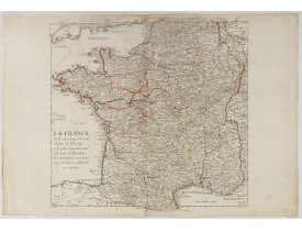
Location: 1690
Published: Paris, ca. 1690
Size: 530 x 507 mm.
Color: In original o/l colours.
Condition: Bel exemplaire grand de marges.
AUVRAY, Thomas, Sieur de Garel. - La France ou l'un des douze Grands Estats de l'Europe. - 36782 - France general - AUVRAY, ..
150€
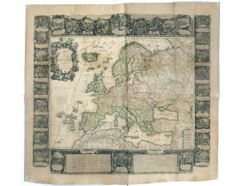
Location: 1700
Published: Paris, 1700
Size: 463 x 599 mm.
Color: In attractive original colours.
Condition: In very good. Some paper thinness on old folds. Backed with very thin Japan paper for protective reason. Paper size : 1395 x 1510mm.
[NOLIN, Jean-Baptiste / Jean-Baptiste NOLIN II - L'Europe Dressée Sur les Nouvelles observations. . . - 36889 - - [NOLIN, J..
9,500€
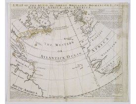
Location: 1740
Published: London, ca. 1740
Size: 375 x 440 mm.
Color: In original o/l colours.
Condition: Map has had creawses flattened out, repairs to upper border, with some MS fill in, some discolouration to right margin and map. Top margin tight. Good impression.
BOWEN, E. - A Map of the King of Great Britain's Dominions in Europe, Africa, and America. - 39515 - Atlantic Ocean - BOWEN, ..
500€
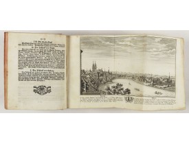
Location: 1773
Published: Zurich, Johann Kaspar Ziegler, 1754-1773
Size: 206 x 167 mm.
Color: Uncoloured.
Condition: 4to. 3 parts in 3 volumes, titles printed in red and black, frontispiece and 326 engraved views, plans and maps (most folding). Contemporary vellum, titles printed in gold on spines. - 1rst volume : [1] leaf, [2], VIII, [34], 15, pp, page 3 to 98 (page 1 missing), page 103 to 270 (two times pages 193 to 196), [6] pp. - 2nd volume : [2] leaves, page 173 to 257 (wrong numbered), page 459 to 476, 277 to 442 (wrong numbered). - 3rd volume : [1] leaf, [6], 8 pp, page 1 to 22, 25 to 30, 34 to 38, 41 to 59 (recto), 224 (verso) to 225, 62 (verso) to 70.
HERRLIBERGER, D. - Neue und vollständige Topographie der Eidgnossschaft, in welcher die in den dreyzehen und zugewandten auc..
5,000€
Location: 1788
Published: Potzdam, Strasbourg, Paris, 1788
Size: 590 x 640 mm.
Color: In original o/l colours.
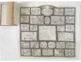
Condition: 4to. 92pp. with large folding map. Contemp. mottled calf, with raised spine in 6 compartments. Richly gilted with coats of arms of Ducs of Luynes, and title on red morocco label.
MULLER, L. - Tableau des guerres de Frédéric le Grand: ou plans figurés de vingt-six batailles rangées, ou combats essentiel..
4,500€
Location: 1827
Published: Paris, Thiériot, 1827
Size: 150 x 100 mm.
Color: Uncoloured.
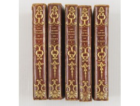
Condition: 5 volumes in half marocco, spine richly gitted. Pages a very little browned, and binding a little bit rubbed, but generally in very good condition.
BRIAND, P.-C. - Les jeunes voyageurs en Europe, ou description raisonnée des divers pays compris dans cette partie du monde...
1,000€
Location: 1839
Published: Florence, Gaspard Ricci, 1839
Size: 192 x 120 mm.
Color: In original o/l colours.
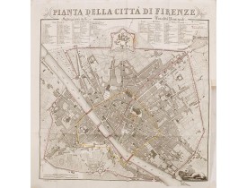
Condition: 8vo. (1), 288 pp. Original publisher's paperboard. With 1 engr. folding plan and 12 copper plates with views in Florence. Very clean copy.
BULGARINI, A. - Guide de Florence et de ses environs Redige´ sur un plan entierement nouveau par l'Abbé A. Bulgarini et Trad..
500€
Location: 1840
Published: Paris, 1840
Size: 595 x 740 mm.
Color: Uncoloured.
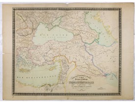
Condition: Good impression, printed on heavy paper. Paper slightly toned. Repair of some, mainly marginal tears along outer center fold.
Etablissement Géographique de Bruxelles - Carte physique et politique de la Turquie d'Europe et d'Asie contenant la Syrie, u..
160€
Location: 695.
Published: Paris, 1695.
Size: 442 x 285mm.
Color: Uncoloured.
Condition: A good and strong impression. Paper slightly age-toned.
Title page...
250€
Showing 1 to 9 of 9 (1 Pages)

