Champagne towns
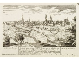
Location: 1760
Published: Paris, 1760
Size: 180 x 260mm.
Color: Uncoloured.
Condition: Very good impression. Good margins.
Panoramic view of the city of Châlons-en-Champagne, including a numbered legend in both lower corners. The plate is numbered..
100€
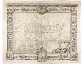
Location: 1769
Published: Paris, Lattré, 1769
Size: 1110 x 1410 mm.
Color: Uncoloured.
Condition: Wall map in two sheets accompanied by borders in 7 boards engraved separately. The plan if joined, without the borders is 820 x 1140 mm.
Rare plan mural de Reims gravé par Jean Lattré. Cartouche central inclus
dans la bordure inférieure (sans le médaillon), co..
2,500€
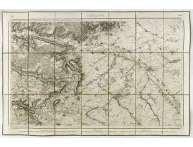
Location: 1872
Published: Paris, 1872
Size: 570 x 835mm.
Color: Uncoloured.
Condition: Cartes entoilées et dépliante divisées en 21 segments. Repliée au format in-8. Belle étiquette vendeur Piquet.
Feuille 50 de la carte d'État-major de la guerre au 1/80.000° rédigée et gravée au Dépôt général de la Guerre sous la directi..
50€
Showing 1 to 3 of 3 (1 Pages)


