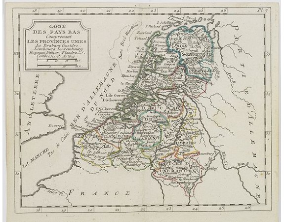
DE LAPORTE, L'Abbé. - Carte des Pays Bas . . .

DE LAPORTE, L'Abbé. - Carte des Pays Bas . . .
Published: Paris, Prudhomme, Levrault, Debray, 1806
Size: 175 x 222mm.
Color: In original o/l colours.
Condition: In very good condition.
Description
Map of the Netherlands, Belgium and Luxembourg from Atlas moderne portatif composé de vingt-huit cartes sur toutes les parties du globe terrestre .. A l'usage des Colléges, des Pensions & des Maisons Religieuses, etc..
First published as Atlas Moderne ou Collection de Cartes in 1777, it was intended primarily for "la jeunesse des Colléges & des Pensions," "des Maisons Religieuses, & toutes les personnes qui étudient ou enseignent la géographie," and the foreword, after noting the success of the first edition, says it has been improved with this clientele in mind. It went through at least six editions before the end of the century and at least three in the nineteenth century.
Many of the plates were revised during publication.
100€
- See other items by this publisher: DE LAPORTE, L'Abbé.
- Reference N°: 26964
1618 views
 Click on image to zoom
