All Products
 Click on image to zoom
Location: 1760
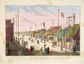
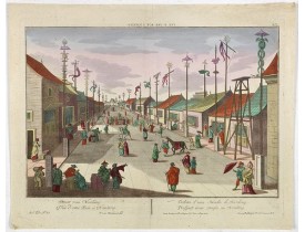
Showing a street scene at Saint Germain in Paris. J. Chereau was a publisher of optical prints, established in Paris, rue St...
100€
Location: 1760
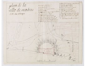
Manuscript map, in black, brown and red ink, showing the fortifications of the city of Madras, now Chennai, on the east coast..
1,900€
Location: 1760
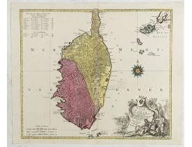
Map published during the uprising of the Corsican people against the Republic of Genoa. It is decorated with a wind rose comp..
1,100€
Location: 1760
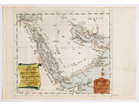
Manuscript map of Arabia. A close copy of Bellin's map of the Arabian Peninsular. In the lower right margin "Tom A, vol V."A ..
2,350€
Location: 1760
So-called optical print illustrating a parade of vessels. Engraved by F.X. Habermann (1721-1796). The Academie Imperiale was ..
400€
Location: 1760
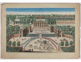
A rare panoramic view of the Château de Marly (Marly-le-Roi) by Aveline. The plate, at the joint address of Esnault et Rapill..
250€
Location: 1760
A well-known publisher of optical prints, established in Augsburg. After a design by P.van Blankaert.In the eighteenth and ni..
350€
Location: 1760
Les cartes, gravées par Durand et Le Roy, portent toutes le nom de l’auteur et ont été réduites par Giovanni Antonio Battista..
2,200€
Location: 1760
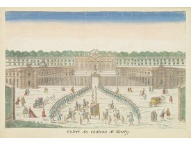
A so called optical print of the King's arrival at Marly castle. When Versailles is transformed to become the main residence ..
50€
Location: 1760
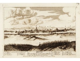
Vue de Metz, incluant une légende au bas de la gravure. Numéroté dans le coin supérieur droit. Publié par les frères Chéreau ..
220€
Location: 1760
A well-known publisher of optical prints, established in Paris. In the eighteenth and nineteenth centuries there were many po..
60€
Location: 1760
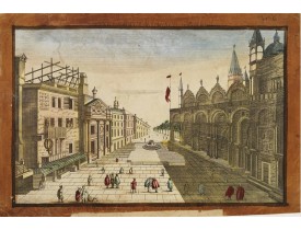
So-called optical print of St.Marco church in Venice. In the eighteenth and nineteenth centuries there were many popular spec..
80€
Location: 1760
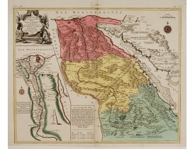
Scarce. A splendid map of ancient Egypt. West is at the top and the Nile bisects Egypt. A inset shows "modern Egypt" to good..
500€
Location: 1760
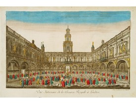
So-called optical print of the London stock exchange. Daumont was a well-known publisher of optical prints, established in Pa..
300€
Location: 1760
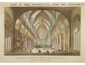
Une vue d'optique de Notre-Dame de Paris. Dans la marge sup. une traduction hollandaise en lettre manuscrite du titre. - So-..
100€
Location: 1760
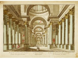
Une vue d'optique de l'église St. Geneviève à Paris. So-called optical print of St.Genevieve church of Paris. Daumont was a..
80€
Location: 1760
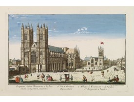
So-called optical print illustrating a perspective view of the Westminster Abbey, in London. In the eighteenth and nineteenth..
400€
Location: 1760
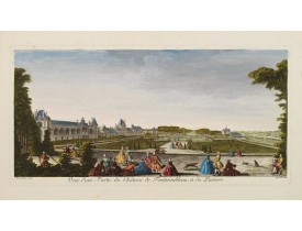
Vue d'une partie du château de Fontainebleau dessinée et gravée sur cuivre pa Jacques Rigaud et superbement coloriée à l'époq..
300€
Location: 1760
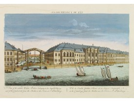
So-called optical print illustrating a perspective view of St. Petersburg, namely the ancient Winter Palace and the canal whi..
600€
Location: 1760
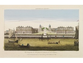
So-called optical print illustrating a perspective view of Greenwich Hospital, illustrating its close proximity to the River ..
250€
Location: 1760
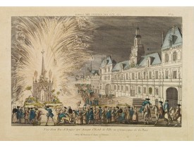
Optical view, illustrating a fireworks display in front of the Paris city hall. In the eighteenth and nineteenth centuries th..
150€
Location: 1760
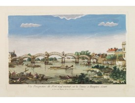
So-called optical print illustrating a bridge on the river Thames at Hampton-Court. In the eighteenth and nineteenth centurie..
200€
Location: 1760
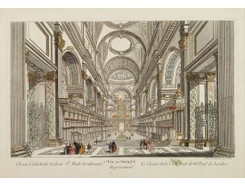
DAUMONT. - 6e Vüe d'Optique Représentant Le Chœur de la Cathedrale de St. Paul de Londres. - 22448 - Optical prints - DAUMON..
200€
Location: 1760
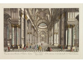
DAUMONT. - 5e Vue d'Optique Representant La Vue interieure de la Cathedralle de St. Paul de Londres.
So-called optical print illustrating a perspective view of the interior of the Saint Paul cathedral in London. Engraved by la..
200€
Location: 1760
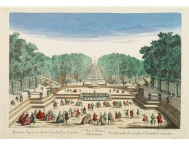
So-called optical print illustrating a perspective view of the fountains and artificial cascades in Vauxhall Gardens, London...
200€

![CHEREAU, J. - Nouvelle décoration de la foire S.Germain. [Paris] CHEREAU, J. - Nouvelle décoration de la foire S.Germain. [Paris]](https://www.loeb-larocque.com/eshop/image/cache/catalog/image/new_upload/28299-275x210w.jpg)
