All Products
 Click on image to zoom
Location: 1920
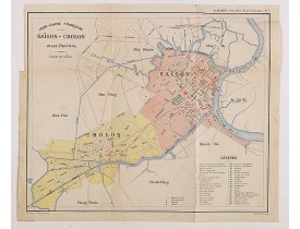
Charming plan of Saïgon at a scale of 1:40.000. Vietnam was a French colony from 1862 to 1954.Prepared by R.Brissaud and publ..
175€
Location: 1920
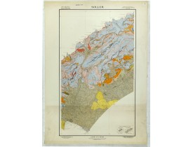
Geological map showing part of he island Mall orca Soller, including Palma. The map gives the following information's about F..
125€
Location: 1920
Affiche pour les Chemins de Fer de l'Est - Luxeuil les Bains, Haute Saône. Imprimé à Paris par Hachard...
250€
Location: 1920
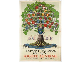
Original lithograph poster printed by Devambez Paris for Société
Centrale des Banques de Province and signed by L. Dappe. T..
450€
Location: 1920
[DEKOBRA (Ernest-Maurice Tessier, dit Maurice]. - Les Strophes libertines du chevalier Naja. Bois originaux de Gécé. - 46498..
350€
Location: 1920
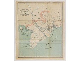
Charming map of the southern third of current Vietnam whose principal city is Saigon or Prey Nokor in Khmer. It was a French ..
130€
Location: 1925
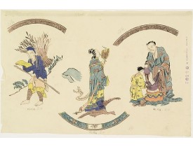
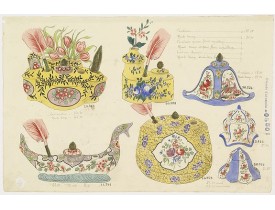
In left hand side "Planche d'aquarelle N° 06502". And the numbers 11.153, 11.154, 11.155. This hand water colored print is a ..
300€
Location: 1925
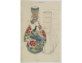
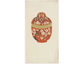
With attractive pattern of a classic Chinese motif. In top "Planche d'aquarelle N° 04510" and the numbers 2,198. This hand wa..
400€
Location: 1925
With numbers 4.601, 4.818. In top "Planche N° d'ordre : 03004.This hand water coloured pen and ink is a original design creat..
200€
Location: 1925
In left hand side "Planche d'aquarelle N° 05501". This hand water colored print is a original design created by the Sevres ar..
300€
Location: 1925
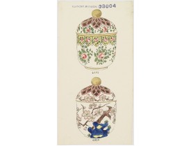
Designs for Porcelains for the Desvres Factory circa1910; a pair, pen and ink and watercolour, bear numerous inscriptions in ..
230€
Location: 1925
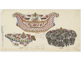
With numbers 8.796, 8.618 and 8.624. To the left "Planche N° d'ordre : 05013.This hand water coloured pen and ink is a origin..
200€
Location: 1926
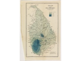
THE SURVEY OFFICE. - Ceylon showing annual average rainfall up to 1926 inclusive. - 41134 - Ceylon - THE SURVEY OFFICE. - Ce..
40€
Location: 1928
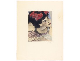
Le Vampire - Lithography enhanced with watercolours and signed in pencil by Mariette Lydis, to illustrate Baudelaire's poems ..
40€
Location: 1928
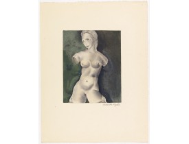
" La Beauté" - Lithography enhanced with watercolours and signed in pencil by Mariette Lydis, to illustrate Baudelaire's poem..
40€
Location: 1928
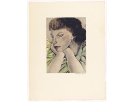
"Le Léthé" - Lithography enhanced with watercolours and signed in pencil by Mariette Lydis, to illustrate Baudelaire's poems ..
40€
Location: 1929
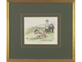
Golfing cartoon taken from the famed English humor magazine Mr. Punch on the Links.THE WOMAN-HATER.After Frank Reynolds (1876..
75€
Location: 1929
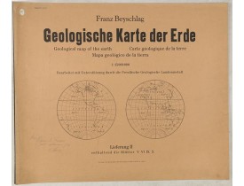
Giantic geographical map of the world in double hemispheres, consting of 12 sheets, together forming a wall map of 300 x 180 ..
1,800€
Location: 1930
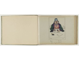
An album with 30 humoristic cartoons by Bill Smith being an interpratation of "The Rubaiyat of Omar Khayyam". The first page ..
5,000€
Location: 1930
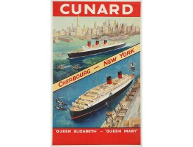
Original vintage Cunard luxury cruise liner travel poster advertising
Cunard Europe to all America fastest ocean service in..
2,000€
Location: 1930
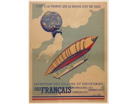
Original poster promoting the French company Montgolfier Renard Charles, manufacture of hot air balloon and dirigibles. Full ..
400€
Location: 1930
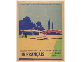
Original poster for the historical first take-off of the first plane. Translation: " It is to France that the world owes its ..
400€
Location: 1930
Lovely art-deco gouache by Lucien Baubaut of an elaborately robed Japanese woman. The colours are simply stunning jewel-toned..
350€
Location: 1930
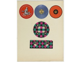
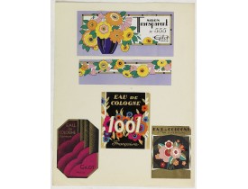
5 Lithographed perfume labels laid on original cardboard sheet. A striking example of commercial artworks produced by the art..
50€
Location: 1930
5 Lithographed perfume labels laid on original cardboard sheet. A striking example of commercial artworks produced by the art..
65€


![[DEKOBRA (Ernest-Maurice Tessier, dit Maurice]. - Les Strophes libertines du chevalier Naja. Bois originaux de Gécé. [DEKOBRA (Ernest-Maurice Tessier, dit Maurice]. - Les Strophes libertines du chevalier Naja. Bois originaux de Gécé.](https://www.loeb-larocque.com/eshop/image/cache/catalog/image/new_upload/[DEKOBRA-Ernest-Maurice-Tessier-dit-Maurice]-Les-Strophes-libertines-du-chevalier-Naja-Bois-originaux-de-Gécé-275x210w.jpg)
