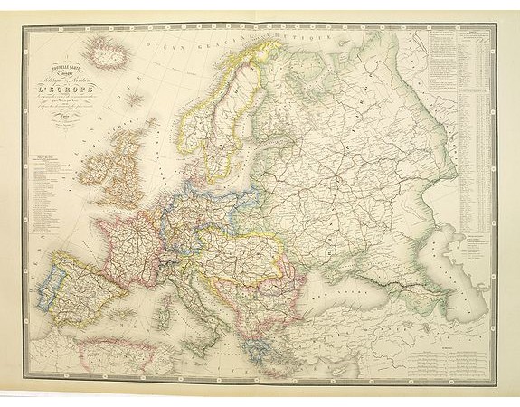
LOGEROT, A. - Nouvelle carte physique et politique de l'Europe. Les grandes voies de communication.
 Click on image to zoom

LOGEROT, A. - Nouvelle carte physique et politique de l'Europe. Les grandes voies de communication.
Published: Paris, 1875
Size: 656 x 870mm.
Color: In original colours.
Condition: In very good condition.
Description
Very large, highly detailed and uncommon map of the British Isles, with inset map of the world and the Shetland Islands. The map shows according to the title: main interregional routes, rivers, canals and steam boat routes.
Published by Auguste Logerot who was a French publisher active from c. 1839 until 1880. Logerot made use of the works of the well known cartographers Fremin, Dufour, Dyonnet, and Vuillemin. He published map, atlases, folding case maps and jigsaw puzzle maps. He was active at Quai des Augustins 55, Paris. Little else is known of Logerot's life and work.
Prepared by Alexandre Vuillemin (1812-1880) a french cartographer who studied under the prominent Auguste Henri Dufour (1798-1865).
Thre lettering has been engraved by J.Bénard.
100€
- See other items by this publisher: LOGEROT, A.
- Reference N°: 30065
