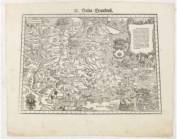
STUMPF, J. - III. Gallia. Franckrych.
 Click on image to zoom

Out Of Stock
STUMPF, J. - III. Gallia. Franckrych.
Published: Zurich, Christoffel Froschover, 1548,1552-1566
Size: 285 x 408mm.
Color: Uncoloured.
Condition: Wood block printed map. Large margins, some light paper thinning along center fold due to old tear. Paper slightly washed and strengthened.
Description
Very early wood cut printed map of France, North of river Rhine, Northern Italy. Coast of England from Dover to Cornwall. A ship, sea monsters and coats of arms are filling the sea's.
Originally engraved in 1548. The map was prepared by Johannes Stumpf (1500-1576) and engraved by Heinrich I. Vogtherr (1490-1556) from Strasbourg. Included in "Landtaflen. Hierinn findst du lieber Läser schöner recht und wolgemachter Landtaflen XII namlich ein Allgemeine Europae demnach etlich besondere als dess Tütschenlands Franckreychs und der allgemeinen Eygnoschafft. . ."
The atlas was basically the first atlas of Switzerland and one of the first, if not the first, national atlases of any European country.
In 1548 Stumpff published his famous chronicle of Switzerland which included 23 maps. (10 from Honter's Rudimenta cosmographica, Zurich 1546, and 13 new ones).
0€
- Reference N°: 37073
