Germany
Location: 1493
Published: Nuremberg, 12 July 1493
Size: 200 x 520mm.
Color: Coloured.
Condition: Double page wood cut. Two sheets joined, excellent.
Double page panoramic view of Ulm.A imaginary view, however the earliest obtainable view of this period.Two page from the ric..
1,900€
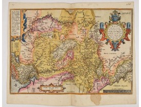
Location: 1584
Published: Antwerp, ca 1584
Size: 345 x 495mm.
Color: In attactive original colours
Condition: Brown spot in the lower part. Rare, blank on the verso. In fine condition.
A very beautiful hand colored copper engraved map of North Rhein-Westphalia by A. Ortelius. This is a general map of Westphal..
150€
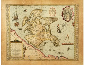
Location: 1630
Published: Amsterdam, 1630
Size: 375 x 485mm.
Color: In original colours.
Condition: A good and strong impression. Paper browned.
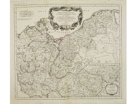
Large "cartouche" with coat of arms from Philippo Iulio Principi Rugiae, one smaller from E.Lubino and thirty coats of arms f..
600€
Location: 1657
Published: Paris, 1642/45-1657
Size: 405 x 557mm.
Color: In original o/l colours.
Condition: Good and dark impression. Left and right margin cut till scale border, as issued. Paper slightly age-toned but generally good.
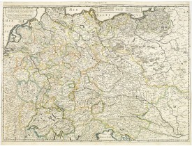
Fine map Central Europe including Germany, Poland, Low countries, Switzerland and Austria. The map was first published by Ta..
300€
Location: 1703
Published: Paris, 1703
Size: 215 x 312mm.
Color: Uncoloured.
Condition: A somewhat fait impression.
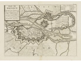
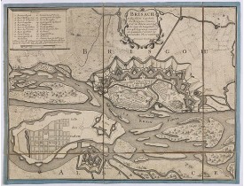
Prise de Vieux-Brisach par le duc de Bourgogne et Vauban en 1703. Avec 2 tables de renvois : 1-7 et A-F...
100€
Location: 1704
Published: Paris, 1704
Size: 196 x 137mm.
Color: In original o/l colours.
Condition: Paper slightly age toned and browned, a dark impression. <br />Accompanied by a double page engraved text sheet with a description of the region.
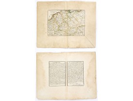
DE FER, N. - L'Allemagne divisée en dix cercles . . . - 37703 - Germany - DE FER, N. - L'Allemagne divisée en dix cercles . ..
75€
Location: 1710
Published: Paris, 1710
Size: 199 x 280mm.
Color: Uncoloured.
Condition: A good and dark impression. Slight, pleasant, age toning of paper. A few light brown stains in the right hand side and lower margin. Good margins. Else good condition.
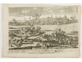
Fine and detailed plan depicting the siege of Vieux-Brisach which was conquered on September 7th 1703.Showing the foundation ..
50€
Location: 1720
Published: Paris, circa 1720
Size: 258 x 335mm.
Color: Uncoloured.
Condition: En 6 sections montées sur toile bordée de soie bleue et plié, formant un plan de 258 x 335 mm. Bel exemplaire.
Plan des fortifications de la ville de Vieux-Brisach, située sur le Rhin dans le Bade-Wurtemberg. La ville est représentée à ..
100€
Location: 1752
Published: Paris, 1752
Size: 475 x 559mm.
Color: In original o/l colours.
Condition: Sur papier fort. - Good condition.
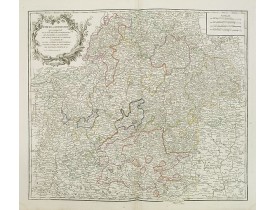
Finely and crisply engraved map of Franconia (Germany). Ornamental title cartouche in upper part left...
50€
Location: 1756
Published: Paris, 1756
Size: 473 x 583mm.
Color: In original o/l colours.
Condition: Larges mouillures dans les angles supérieurs.
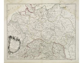
Carte de la Germanie. - A fine map of ancient Germany, Poland and the Netherlands...
30€
Location: 1778
Published: Frankfurt 1623 - 1778
Size: 100 x 145mm.
Color: Coloured.
Condition: A somewhat faded impression. Printed on thin paper.
A panoramic view of the castle and town of Merlau in Hessen. On the foreground, two men fighting each others are depicted. Wi..
30€
Location: 1778
Published: Frankfurt 1623 -1778
Size: 100 x 145mm.
Color: In original colours.
Condition: A good and dark impression. Very good.
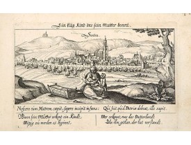
A panoramic view of the city Sontra near Kassel. On the foreground, a woman with two children and a crypt. With a verse in tw..
40€
Location: 1783
Published: Paris ca 1783
Size: 303 x 452mm.
Color: In attractive original body colours.
Condition: Minor marginal spots. Minor discolouration along centerfold. Printed on heavy paper, with good margins. Good impression.
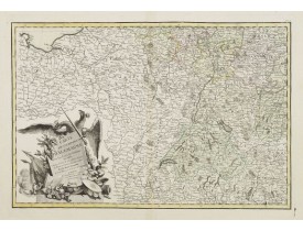
Attractive map centred on the south western part of Germany, including Switzerland, Luxembourg and part of Austria.Decorative..
75€
Location: 1784
Published: Venice, 1776 - 1784
Size: 480 x 540mm.
Color: In original o/l colours.
Condition: Marginal thumbling. Light spotting in the lower margin, just affecting the scale border. Else very good condition.
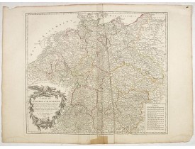
Finely and crisply engraved map of Germany, including inset map of Brandenburg .Venetian edition of Giles Didier Robert De..
250€
Location: 1792
Published: Paris, 1792
Size: 480 x 550mm.
Color: In original o/l colours.
Condition: Nombreuses pliures en partie centrale, restauration en marge inférieure.
Carte de l'Empire d'Allemagne... Divisée en IX cercles... Cartouche de titre surmonté d'un aigle...
50€
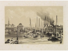
Location: 1859
Published: Paris, c.1859
Size: 190 x 285mm.
Color: Uncoloured.
Condition: Lithography on tinted ground. Some foxing, paper very slightly browned.
Uncommon and decorative lithography published by Carl Johan Billmark
and printed by Lemercier in Paris, 55 rue de Seine, th..
90€
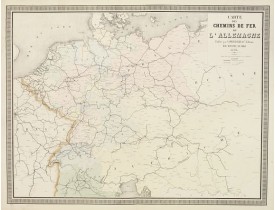
Location: 1863
Published: Paris, 1863
Size: 630 x 825mm.
Color: Original colours.
Condition: Originally hand-coloured lithography.
A fine map of Germany, the Netherlands, and Eastern Europe shows the early railway system of the area. From "Atlas des Chemin..
60€
Showing 1 to 17 of 17 (1 Pages)


![SCHEDEL, H. - Ulma [Ulm. Folio CXCI ] SCHEDEL, H. - Ulma [Ulm. Folio CXCI ]](https://www.loeb-larocque.com/eshop/image/cache/catalog/image/new_upload/29713-275x210w.jpg)
![MEISNER, D. - Merla in Ob. Hessen. [Merlau] MEISNER, D. - Merla in Ob. Hessen. [Merlau]](https://www.loeb-larocque.com/eshop/image/cache/catalog/image/new_upload/13826-275x210w.jpg)
