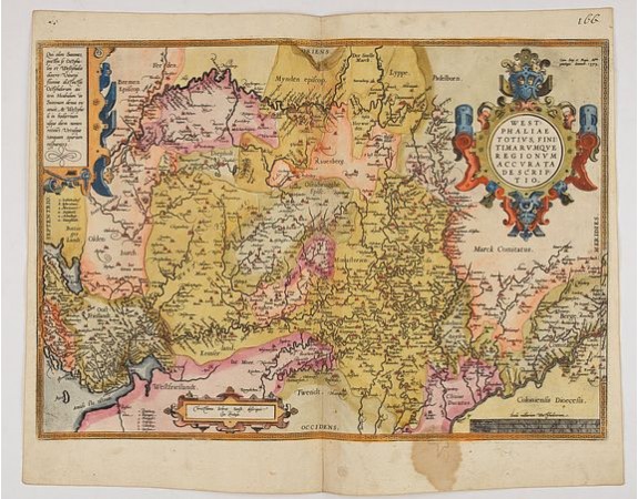
ORTELIUS, A. - Westphaliae Totius, Finitimarumque Regionum Accurata Descriptio.
 Click on image to zoom

ORTELIUS, A. - Westphaliae Totius, Finitimarumque Regionum Accurata Descriptio.
Published: Antwerp, ca 1584
Size: 345 x 495mm.
Color: In attactive original colours
Condition: Brown spot in the lower part. Rare, blank on the verso. In fine condition.
Description
A very beautiful hand colored copper engraved map of North Rhein-Westphalia by A. Ortelius. This is a general map of Westphalia and the surrounding regions in northwest Germany.
East is orientated at the top of the map. The map extends from Cologne in the south (right) to Bremen in the north (left), and includes the Ruhr Valley, what is the industrial heartland of Germany. The map is beautifully ornamented by a great title cartouche containing some text.
This map is based on an earlier work by Christian Sgroten in 1565.
150€
- See other items by this publisher: ORTELIUS, A.
- Reference N°: 47959
