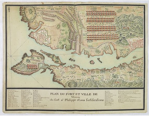
ANONYME - Plan du port et ville de Mahon du fort st. Philippe et ses fortifications.
 Click on image to zoom

Out Of Stock
ANONYME - Plan du port et ville de Mahon du fort st. Philippe et ses fortifications.
Published: c.1720
Size: 415 x 548 mm.
Color: In original colours.
Condition: Very good condition.
Description
ANONYME - Plan du port et ville de Mahon du fort st. Philippe et ses fortifications. - 28437 - Minorca - Majorca - ANONYME - Plan du port et ville de Mahon du fort st. Philippe et ses fortifications. - 28437 - Minorca - Majorca
0€
- Reference N°: 28437
