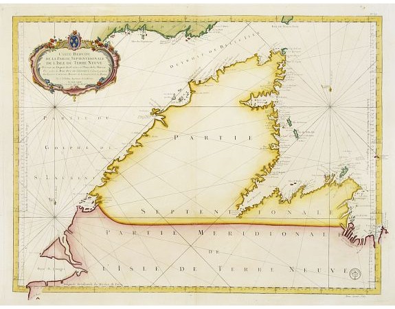
BELLIN, J.N. - Carte Réduite De La Partie Septentrionale De L' Isle De Terre Neuve..

BELLIN, J.N. - Carte Réduite De La Partie Septentrionale De L' Isle De Terre Neuve..
Published: Paris, 1767
Size: 559 x 872mm.
Color: In original colours.
Condition: Printed on heavy paper. Overall in very good condition.
Description
A well engraved and highly detailed chart, corrected to 1767. Elaborate hand-coloured cartouche, rhumb lines.
Shows northern part of Newfoundland and southern coast of Labrador.
Published by the Depot Générale de la marine with its seal and Prix. Trente Sols
Shows northern part of Newfoundland and southern coast of Labrador.
Published by the Depot Générale de la marine with its seal and Prix. Trente Sols
750€
- Reference N°: 23053
1884 views
 Click on image to zoom
