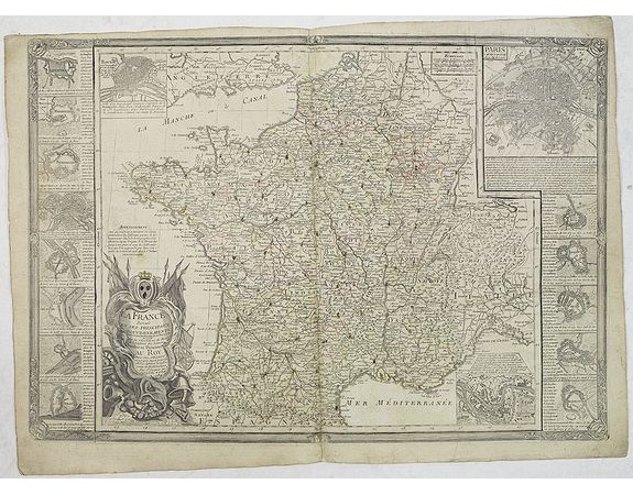
DESNOS - La France, divisée en ses principaux gouvernements. Avec toutes les Routes de ce Royaume. . .

DESNOS - La France, divisée en ses principaux gouvernements. Avec toutes les Routes de ce Royaume. . .
Published: Paris, 1782
Size: 485 x 560mm.
Color: In attactive original colours.
Condition: Paper slightly age-toned. Repair of a split lower part center fold. Good condition.
Description
Uncommon map of France with 16 inset plans of the major towns in France. Each town with a few lines of comment about their beauty, longitude and latitude and distance from Paris, etc. The map is filled with a road system connecting the major towns.
Curiously during the French Revolution the Royal coat of arms has been covered with brown ink. Major towns have a cross in brown ink.
Curiously during the French Revolution the Royal coat of arms has been covered with brown ink. Major towns have a cross in brown ink.
750€
- Reference N°: 31359
1828 views
 Click on image to zoom
