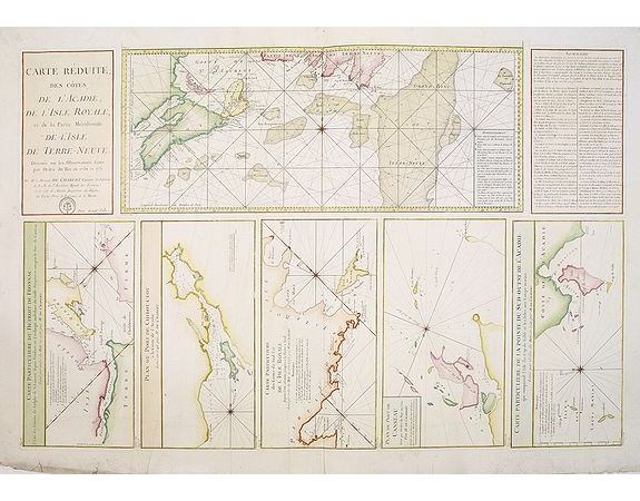
DÉPÔT GÉNÉRAL DE LA MARINE. - Carte Réduite, Des Côtes De L' Acadie, De L' Isle Royale.. Et de la Partie Méridionale De L' Isle De Terre Neuve..

DÉPÔT GÉNÉRAL DE LA MARINE. - Carte Réduite, Des Côtes De L' Acadie, De L' Isle Royale.. Et de la Partie Méridionale De L' Isle De Terre Neuve..
Published: Paris, 1751
Size: 559 x 872mm.
Color: Coloured.
Condition: Printed on heavy paper. Overall in very good condition.
Description
A well engraved and highly detailed chart that was issued in Neptune americo-septentrionale. This chart is based on Sayer & Bennett's chart that was issued in 1776 and was intended for use by the French Navy during the Revolutionary War. It shows soundings, anchorage's, channels, shoals, navigational sightings, Fort Johnson and the town of Brunswick. . Engraved by Petit, engraver for the Depot Générale de la marine is noted as such on the map.
900€
- Reference N°: 23054
1970 views
 Click on image to zoom
