
EHU: Hungary
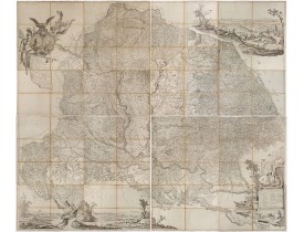
New
Location: 1769
Published: Vienna. 1769
Size: 2040 x 2440mm.
Color: Uncolored
Condition: Copper engraving. Contemporarily intersected and laid on canvas. The map was printed on 12 sheets. The example, contemporarily intersected and pasted on linen, on 4 sheets. If joined, the total size is: 204x244 cm.
The "Mappa Geographica novissima Regni Hungariae" of 1769 occupies a pivotal place between two eras of Hungarian cartography:..
0€
Showing 1 to 1 of 1 (1 Pages)