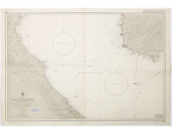
HYDROGRAPHIC OFFICE OF THE ADMIRALTY. - China sea Gulf of Tongking (Southern sheet).

HYDROGRAPHIC OFFICE OF THE ADMIRALTY. - China sea Gulf of Tongking (Southern sheet).
Published: London, 1852
Size: 655 x 985mm.
Color: Uncoloured.
Condition: In good general condition.
Description
A highly corrected version of Admiralty chart 3989 originally published 11 Mai 1962 under the Superintendence of Captain EG Irving.
Detailed chart including the coasts of Vietnam and west coast of Hainan. A working chart with many manuscript annotations in red ink.
With the vignette of "Hydrographic Office Admiralty Charts and Publication" and Printed January 1992 on the verso.
The charts published by the Hydrographic Office of the Admiralty in London represent well both cartographic history and also the history of European naval technology and surveying techniques. The concise coastal surveys were compiled to meet the naval demand for the most contemporary description, water depth, land elevation and directional readings.
The engraving is very clean and crisp fashion which is indicative of the English style of mapmaking. For those interested in the mapping of the Philippines as well as naval history, this chart serve as wonderful examples of both areas of study.
80€
- Reference N°: 42882
1269 views
 Click on image to zoom
