All Products
 Click on image to zoom
Location: 1718
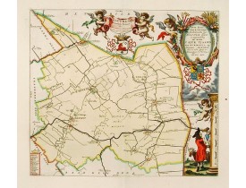
Very decorative map centred on Menaam, Marsum and Boxum from the "Uitbeelding der Heerlijkheit Friesland" prepared by Schotan..
300€
Location: 1718
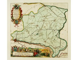
Very decorative map centred on Dokkum, Metzerwier and Pasens from the "Uitbeelding der Heerlijkheit Friesland" prepared by Sc..
400€
Location: 1718
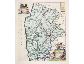
Very decorative map centered on Bolsward from the "Uitbeelding der Heerlijkheit Friesland" prepared by Schotanus. With decora..
300€
Location: 1719
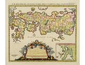
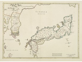
A good impression of this decorative map of Japan based on Reland's map of `1715, one of the earliest to use both Latin names..
2,000€
Location: 1719
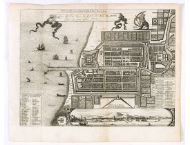
A good impression of this finely engraved and detailed plan of Batavia, present-day Jakarta, the Dutch center of trading acti..
400€
Location: 1719
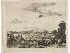
Decorative view of Kashan in Iran. A branch of the Silk Road skirts the western and southern edges of Iran's central desert, ..
300€
Location: 1719
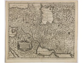
This is a decorative map of Persia and Central Asia. It has very good details of the region east of the Caspian Sea, showing ..
400€
Location: 1719
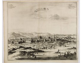
Decorative view of Astrakhan. Astrakhan is where Europe ends and Central Asia begins. Its position on the Caspian Sea has ens..
300€
Location: 1719
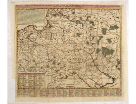
Chatelain's map of Poland. The title is in two lines across the map. On bottom border appears an index to the map's contents...
750€
Location: 1719
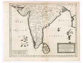
Detailed map of the Southern part of India with Ceylon. Good detail along the coasts of Malabar, Coromandel, the Maldives isl..
375€
Location: 1720
A very striking map with a finely decorated title cartouche, published by Valk & Schenk, utilizing Jansson's original pla..
2,700€
Location: 1720
The rare Covens and Mortier issue of this important map of Japan and Korea, originally published by Blaeu. This was to remain..
2,000€
Location: 1720
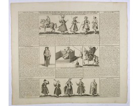
This impressive engraving is a wonderful example of Chatelain’s elegant plates.Ornamented with numerous vignettes showing the..
150€
Location: 1720
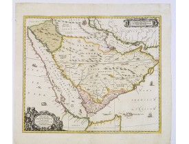
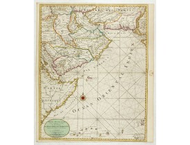
An impressive large sheet chart including the Red Sea, the coasts of Somali, Yemen, east coast of the Arabian peninsula. One ..
1,500€
Location: 1720
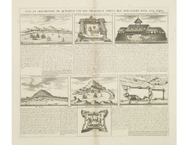
Interesting sheet with seven detailed views illustrating the most important Dutch trading outposts and fortified colonial pos..
150€
Location: 1720
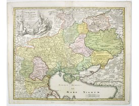
Homann's map is based upon Beauplan's general map of Ukraine but depicts the political changes of the preceding years. The ca..
1,200€
Location: 1720
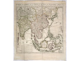
This delicate and quite detailed general map extends from northern Japan to Timor and from India to New Guinea.Here, the Terr..
700€
Location: 1720
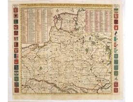
Map of Poland with a key table to the towns, and 30 coats of arms on both sides, extending south the Black Sea. From Chatelai..
900€
Location: 1720
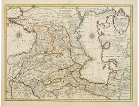
A most attractive and detailed map of the region between the Black and Caspian Seas after De L'Isle. The two Seas are decorat..
650€
Location: 1720
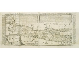
An inset plan of Batavia and clearly indicated rice fields, mountains, forests, towns in profile and even elephants suggest t..
1,150€
Location: 1720
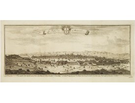
Rare vue de Marseille issue de "La galerie agréable du Monde" ou des "Forces de l'Europe", publiés par P. Van der Aa. Renvois..
1,500€
Location: 1720
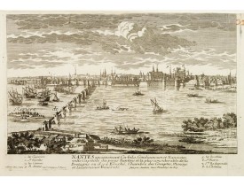
Bird's eye-view of the French town of Nantes, including a key list at the bottom. Engraved by Pierre Aveline (Paris, c.1656 -..
250€
Location: 1720
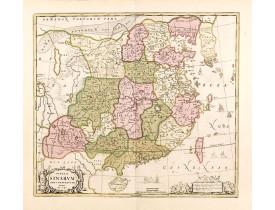
Schenk and Valk's rare early 18th century issue of Janssonius milestone map of China, Korea and Japan after Martino Martini. ..
1,700€
Location: 1720
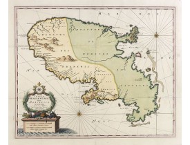
VISSCHER, N. / SCHENCK, P. - Insula Matanino vulgo Martanico in lucem edita / per Nicolaum Visscher.
Uncommon map, showing the portion of the island which had been taken from the Caribs up to that time. In lower left corner a ..
1,000€
Location: 1720
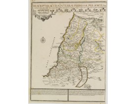
Rare map of the Promised Land by Phil de la Rue and updated by De Fer.Presents a decorative compass rose and some explicatory..
200€

