All Products
 Click on image to zoom
Location: 1790
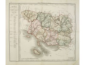
Carte du département du Morbihan dédrété le 30 Janvier 1790 par l'Assemblée nationale Divisé en 9 Districts et en 71 Cantons...
250€
Location: 1790
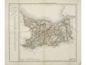
Carte du département du Calvados dédrété le 5 Février 1790 par l'Assemblée nationale Divisé en 6 Districts et en 71 Cantons. ..
100€
Location: 1790
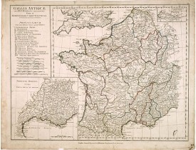
Carte figurant la Gaule romaine. Table de renvois I à XVII indiquant les noms des différentes provinces. En carton, carte dét..
50€
Location: 1790
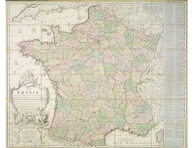
Grande carte "Dressée sur les Mémoires de l'Académie des Sciences assujetie aux dernières Observations Astronomiques. Avec le..
250€
Location: 1790
Portrait gravé figurant Henri IV de profil d'après une calligraphie de Joseph Bernard (1740-1809) . Cette gravure s'inscrit d..
80€
Location: 1790
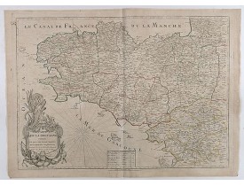
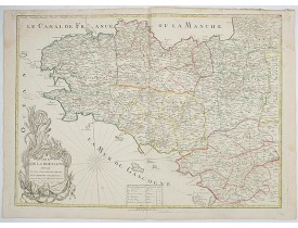
Carte de la Bretagne divisée en ses cinq départements et ses quarante cinq Districts publiée en 1790. Le décret voté en 1789 ..
750€
Location: 1790
ANONYME. - Le petit oiseau va sortir! - 44025 - Various - ANONYME. - Le petit oiseau va sortir! - 44025 - Various..
900€
Location: 1790
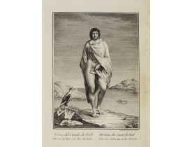
Full portrait of a man from Christmas Sound, in Tierra del Fuego This engraved print on laid paper is from "Raccolta di..
150€
Location: 1790
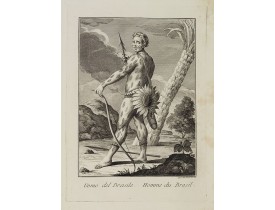
Full portrait of a Brazilian hunter. From "Raccolta di stampe." a series of historically significant eighteenth-century ..
450€
Location: 1790
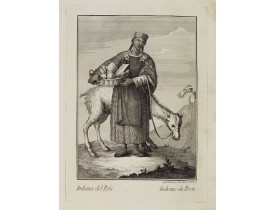
Portrait of a Peruvian Indian woman holding a fruit basket and a lama in the background. From "Raccolta di stampe", a s..
200€
Location: 1790
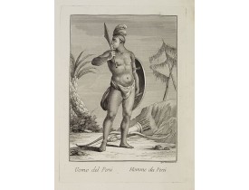
VIERO, Th. - Uomo del Perù. / Homme du Perou. - 26391 - Peru - VIERO, Th. - Uomo del Perù. / Homme du Perou. - 26391 - Peru..
300€
Location: 1790
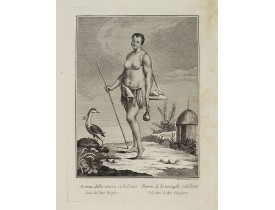
Full portrait of a woman from New Caledonia. A rare engraving from "Raccolata di stampe ... di varie nazioni". From the ..
350€
Location: 1790
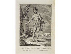
VIERO, Th. - Uomo della nuova Caledonia Isola del Mar Pacifico. / Homme de la nouvelle Calédonie Isle dans la Mer Pacifiqu..
300€
Location: 1790
Rare map of Bretagne. Later with changed title also published by Jean.Mondhare, active at rue St.Jacques a l'Hotel Saumur, w..
900€
Location: 1791
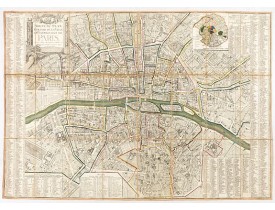
Plan quadrillé en segments, entoilé. De part et d'autre "Table alphabétique des rues". Plan mis à jour auquel on a ajouté dan..
850€
Location: 1792
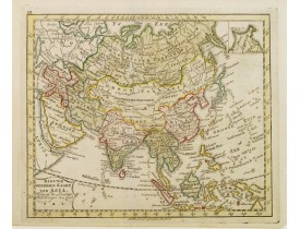
Uncommon map of Asia, with Dutch text. Engraved by A.Krevelt. In the upper right-hand corner, inset the map of Siberia. The r..
100€
Location: 1792
Carte décrivant les régions du Périgord, de la Guienne et de Gascogne et du Béarn gravée par Carli Pazzini .Rare regional ma..
150€
Location: 1792
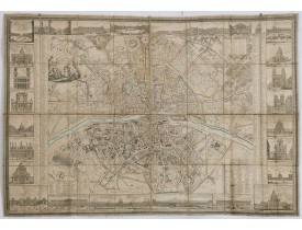
Monumental plan of Paris, engraved by C.B. Glot. The title is placed in a cartouche held by angels, decorated, on the right, ..
4,000€
Location: 1792
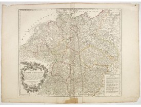
Carte de l'Empire d'Allemagne... Divisée en IX cercles... Cartouche de titre surmonté d'un aigle...
50€
Location: 1793
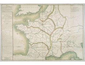
Navigation générale de la France, Carte Géographique des Rivières et des Canaux projettés, à l'effet d'établir une navigation..
500€
Location: 1793
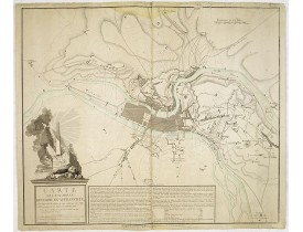
Plan de Lyon dont le titre complet est le suivant : "Carte des environs de Commune-Affranchie, ou sont représentés les travau..
600€
Location: 1793
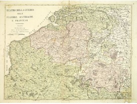
Rare map of Belgium by Antonio Zatta e Figli a Venice-based publishing company headed by Antonio Zatta, 1757-1797. Maps by Za..
400€
Location: 1793
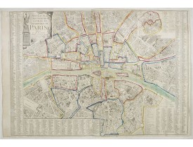
Detailed plan of Paris. There is a street index down both margins and a list of theatres and public libraries. The plan now ..
1,000€
Location: 1794
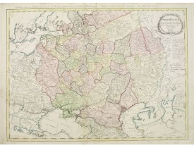
A detailed map of the European part of the Russian Empire. Very rare map. Copper etching by C. Mannert and edited by Adam Got..
1,200€
Location: 1794
Rare illustrated publication about Europe with the title " Geheimzinnige toebereidselen tot eene boertige reis door Europa. [..
2,000€

![ANONYME - [Portrait d'Henri IV]. ANONYME - [Portrait d'Henri IV].](https://www.loeb-larocque.com/eshop/image/cache/catalog/image/new_upload/64997-275x210h.jpg)

![BOHN, F. - Boertige reis door Europa. . . [with] Europa volgens de nieuwste verdeeling. . . BOHN, F. - Boertige reis door Europa. . . [with] Europa volgens de nieuwste verdeeling. . .](https://www.loeb-larocque.com/eshop/image/cache/catalog/image/new_upload/32642-275x210h.jpg)