All Products
 Click on image to zoom
Location: 1814
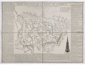
Nice town-plan of Cambrai, with its fortifications and the citadel, decorated with the cathedral in lower right corner. The b..
200€
Location: 1816
Map extending west to east from Monaco to Otranto and north to south from The Alps to Malta, inset map of Greece. llustrated ..
1,000€
Location: 1816
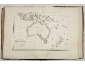
Large folio atlas containing 8 general one-sheet maps, and 8 detailed four-sheet maps: Containing2 World maps- "Mappe-monde s..
5,750€
Location: 1817
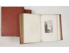
Large paper copy, printed on quarto format (210x235mm.) on heavy paper. Illustrated with 360 engraved plates, many by Jean-J..
2,000€
Location: 1818
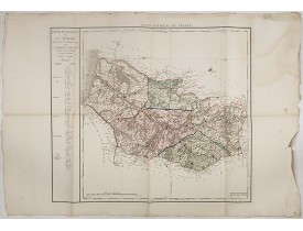
Carte du département de la Somme gravée par d'Houdan, publié dans "Atlas National de France, en départements. Décreté ... Par..
100€
Location: 1818
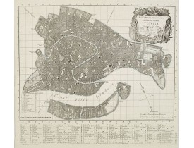
Precise bird's-eye view of Venice, clearly depicting the city's architectural landmark. At bottom center a extensive key to l..
1,000€
Location: 1818
Engraved by Joseph Stöber, (born in Vienna 13. June1768, died 12 March1852) after design of Matthäus Loder (1781-1828). From ..
200€
Location: 1818
Engraved by Joseph Stöber, (born in Vienna 13. June1768, died 12 March1852) after design of Matthäus Loder (1781-1828). From ..
200€
Location: 1818
Engraved by Joseph Stöber, (born in Vienna 13. June1768, died 12 March1852) after design of Matthäus Loder (1781-1828). From ..
200€
Location: 1818
Engraved by Joseph Stöber, (born in Vienna 13. June1768, died 12 March1852) after design of Matthäus Loder (1781-1828). From ..
200€
Location: 1818
Engraved by Joseph Stöber, (born in Vienna 13. June1768, died 12 March1852) after design of Matthäus Loder (1781-1828). From ..
200€
Location: 1818
Engraved by Joseph Stöber, (born in Vienna 13. June1768, died 12 March1852) after design of Matthäus Loder (1781-1828). From ..
200€
Location: 1818
Engraved by Joseph Stöber, (born in Vienna 13. June1768, died 12 March1852) after design of Matthäus Loder (1781-1828). From ..
200€
Location: 1818
Engraved by Joseph Stöber, (born in Vienna 13. June1768, died 12 March1852) after design of Matthäus Loder (1781-1828). From ..
200€
Location: 1818
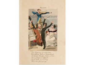
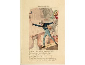
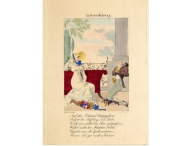
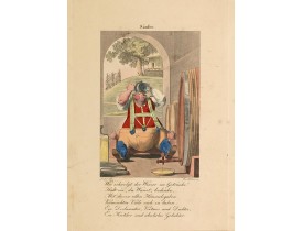
ANONYMOUS. - Apothicaar Orquest [Apothecary Orchestra] - 46536 - Drawings - ANONYMOUS. - Apothicaar Orquest [Apothecary Orch..
400€
Location: 1820
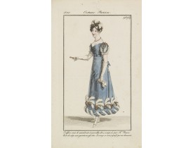
From "Costume Parisien" (1797-1839). Paris was the capital for fashion innovation and design. After the final defeat of Napol..
25€
Location: 1820
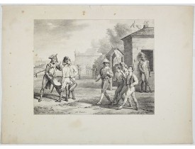
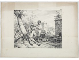
Fine militariat plate by Horace Vernet...
45€
Location: 1820
A colorful print of a coach load of assorted people and 'characters'
en-route to the Paris carnival. The Paris Carnival is ..
150€
Location: 1820
A 'busy', but sobering print depicting the procession of a dying old man
to the afterlife. Attractively coloured. Accompany..
150€
Location: 1820
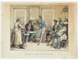
BENARD / BOURDET. - Les Jouissance du Juste Milieu. - 46794 - 19th century prints - BENARD / BOURDET. - Les Jouissance du Ju..
200€
Location: 1820
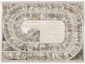
Large sheet with an animated game of goose of 63 numbered squares, spiral, counter clockwise, centripetal focused on the Fren..
750€
Location: 1820
A set of three charming and delightful hand colored etchings in the grand French style of the early nineteenth century. The f..
100€
Location: 1820
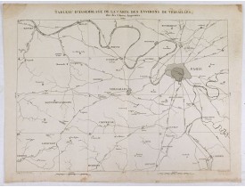
TARDIEU, P.F. - Tableau d'assemblage de la carte des environs de Versailles dite chasses impériales.
TARDIEU, P.F. - Tableau d'assemblage de la carte des environs de Versailles dite chasses impériales. - 36780 - Paris - TARDI..
200€
Location: 1820
Decorative gouache of a tulip...
300€
Location: 1820
Fine militariat plate by Horace Vernet...
45€

![ANONYMOUS. - Apothicaar Orquest [Apothecary Orchestra] ANONYMOUS. - Apothicaar Orquest [Apothecary Orchestra]](https://www.loeb-larocque.com/eshop/image/cache/catalog/image/new_upload/ANONYMOUS-Apothicaar-Orquest-[Apothecary-Orchestra]-275x210h.jpg)
![CHARON. - Marche de Carnaval. [Canival Walk] CHARON. - Marche de Carnaval. [Canival Walk]](https://www.loeb-larocque.com/eshop/image/cache/catalog/image/new_upload/CHARON-Marche-de-Carnaval-[Canival-Walk]-275x210w.jpg)
![MARTINET. - Voyage et conduite d'un moribond pour l'autre monde [Caricature Parisienne.] MARTINET. - Voyage et conduite d'un moribond pour l'autre monde [Caricature Parisienne.]](https://www.loeb-larocque.com/eshop/image/cache/catalog/image/new_upload/MARTINET-Voyage-et-conduite-d-un-moribond-pour-l-autre-monde-[Caricature-Parisienne-]-275x210w.jpg)
![ANONYMOUS - [Tulip.] ANONYMOUS - [Tulip.]](https://www.loeb-larocque.com/eshop/image/cache/catalog/Lgimg/49090-275x210h.jpg)
