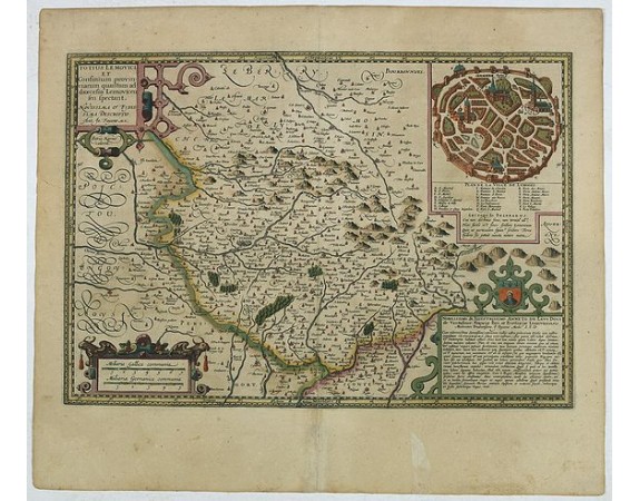
KAERIUS, P. / HONDIUS, J. - Totius Lemovici et . . .
 Click on image to zoom

KAERIUS, P. / HONDIUS, J. - Totius Lemovici et . . .
Published: Amsterdam, 1608
Size: 340 x 490mm.
Color: In original colours.
Condition: Tears in the margins. A good and strong impression. Paper slightly age-toned, as usual.
Description
Map of part of France, centered on Limoge, including a plan of Limoge. Prepared by Jean du Fayen (1530-1612), French physician and geographer, who prepared the first known map of Limousin.
Engraved by Petrus Kaerius.
Engraved by Petrus Kaerius.
100€
- Reference N°: 44385
