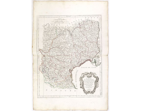
SANTINI, P. / REMONDINI, M. - Carte des Gouvernements de Languedoc, de Foix et de Roussillon.

SANTINI, P. / REMONDINI, M. - Carte des Gouvernements de Languedoc, de Foix et de Roussillon.
Published: Venice, 1776 - 1784
Size: 587 x 458mm.
Color: In original o/l colours.
Condition: Bel exemplaire sur papier fort.
Description
Attractive map of part of France, covering the western part of the Gulf of Lyon with its hinterland. Decorated with a rococo title cartouche.
Venetian edition of the map by Bonne, to whom Santini gives credit in the cartouche.
From "Atlas Universel" published by Santini in 1776-84. The atlas is effectively an Italian copy of the Robert de Vaugondy 'Atlas Universel'.
In 1784 Santini sold the plates to M. Remondini, whose name appears on this particular example.
100€
- See other items by this publisher: SANTINI, P. / REMONDINI, M.
- Reference N°: 36303
1158 views
 Click on image to zoom
