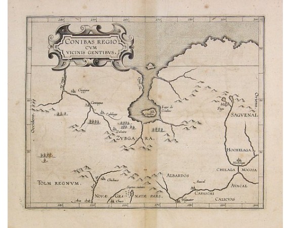
WYTFLIET, C. van. - Conibas Regio cum uicinis gentibus.

WYTFLIET, C. van. - Conibas Regio cum uicinis gentibus.
Published: Louvain, 1597-1600
Size: 220 x 270mm.
Color: Uncoloured.
Condition: In good condition. Some slight browning along centerfold. Good and dark impression.
Description
3rd State. The first printed map of present day central Canada issued by Cornelis van Wytfliet in editions of his Descriptionis Ptolemaicae Augmentum first published in Louvain in 1597. The basic cartography derives from Gerard Mercator's world map of 1569, which first depicted a large body of water inland in the extreme north.
At the top of the map we find the North West Passage.
At the top of the map we find the North West Passage.
1,000€
- See other items by this publisher: WYTFLIET, C. van.
- Reference N°: 11617
1356 views
 Click on image to zoom
